MyTopo
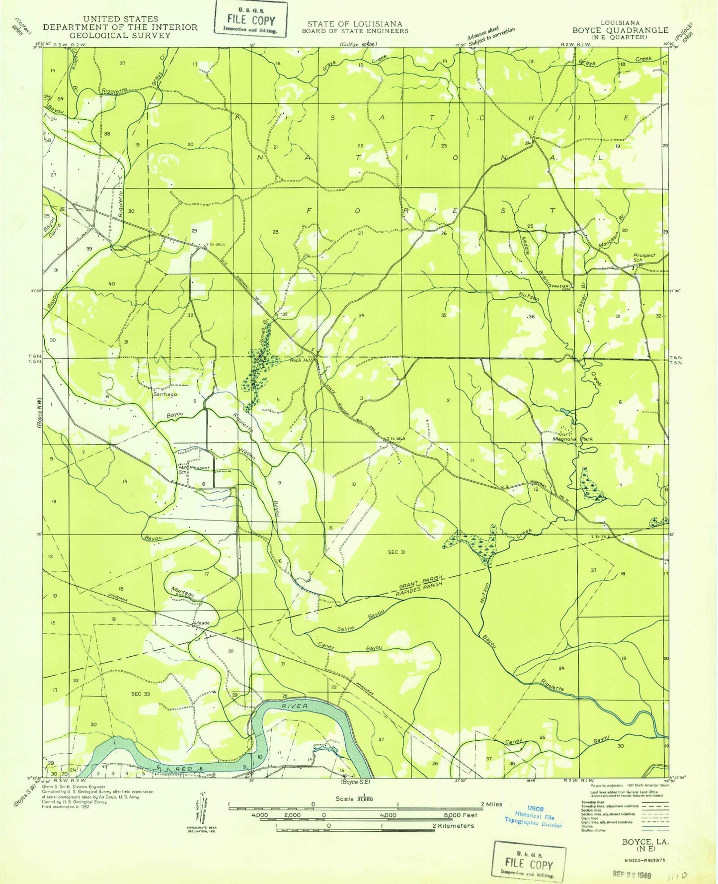
Classic USGS Rock Hill Louisiana 7.5'x7.5' Topo Map
Couldn't load pickup availability
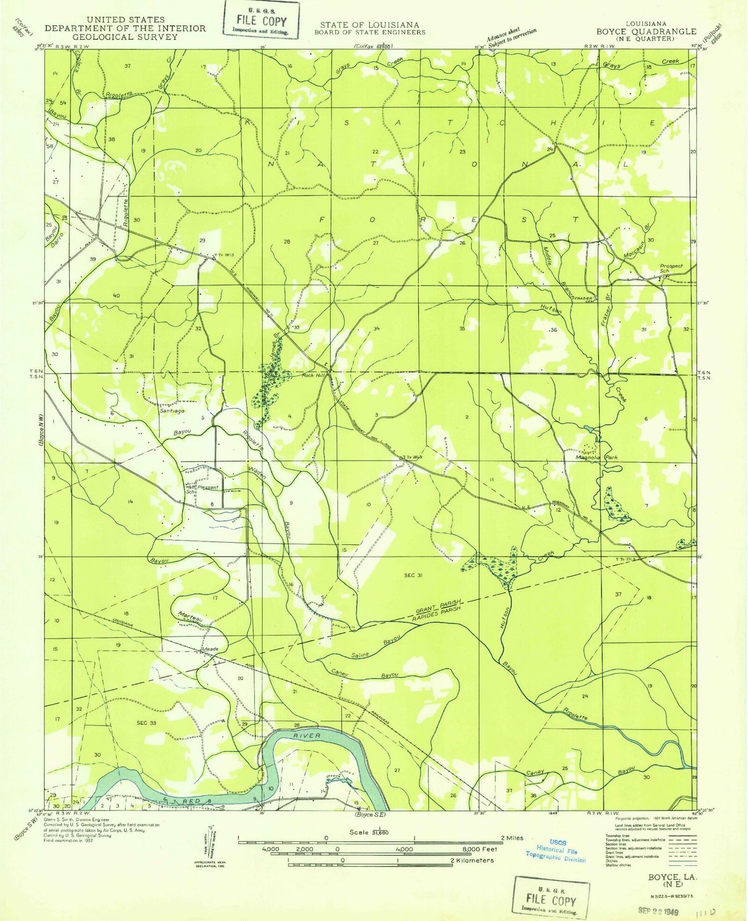
Historical USGS topographic quad map of Rock Hill in the state of Louisiana. Map scale may vary for some years, but is generally around 1:24,000. Print size is approximately 24" x 27"
This quadrangle is in the following counties: Grant, Rapides.
The map contains contour lines, roads, rivers, towns, and lakes. Printed on high-quality waterproof paper with UV fade-resistant inks, and shipped rolled.
Contains the following named places: Anthony Cemetery, Avoca Plantation, Bagdad, Bayou Marteau, Bethlehem Church, Calvary Church, Caney Bayou, Chandler Creek, Cholera Branch, Cocklebur Bayou, Coleman Branch, Coleman Cemetery, Creola, Crossroads Church, Cruikshank Cemetery, Frazier Cemetery, Gray Creek, Greens Mill, Harrison Camp, Hudson Creek, Hudson Creek Baptist Church, Hudson Creek Volunteer Fire Department District 6, James Branch, Jordan Creek, Magnolia Park, Mead, Mitchell Lake Dam, Moccasin Branch, Morris, Mount Pleasant School, New Prospect Church, Omega Plantation, Parish Governing Authority District 4, Parish Governing Authority District 5, Parley Black Lake, Prospect Church, Prospect School, Rock Hill, Rock Hill Census Designated Place, Saline Bayou, Santiago, South Grant Elementary School, Turkey Bayou, Union Cemetery, Walden Bayou, Ward Two, Woodland Church


