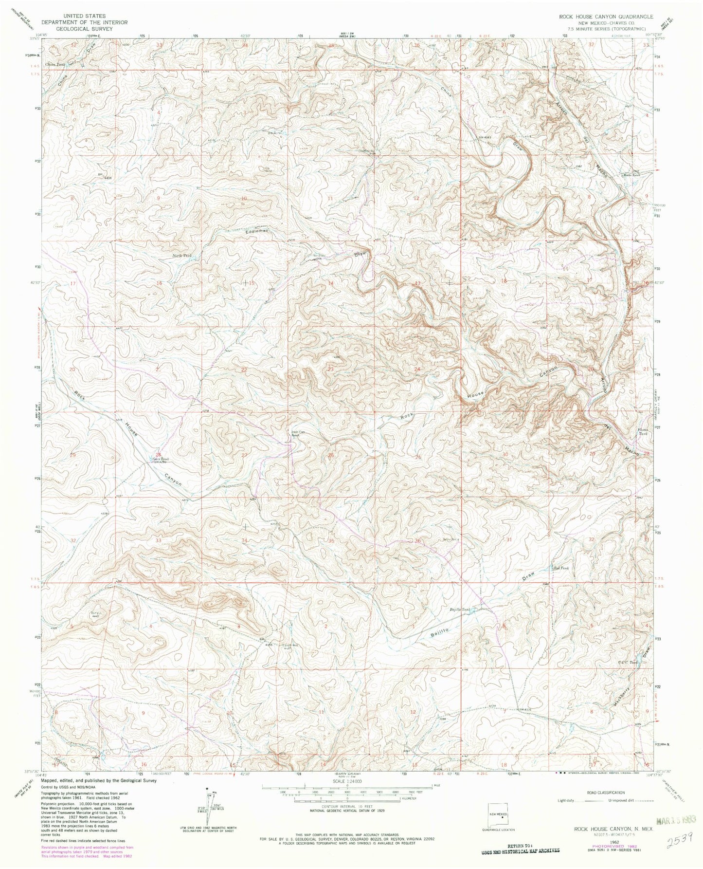
MyTopo
Classic USGS Rock House Canyon New Mexico 7.5'x7.5' Topo Map
Regular price
$16.95
Regular price
Sale price
$16.95
Unit price
per
Couldn't load pickup availability
Historical USGS topographic quad map of Rock House Canyon in the state of New Mexico. Map scale may vary for some years, but is generally around 1:24,000. Print size is approximately 24" x 27"
This quadrangle is in the following counties: Chaves.
The map contains contour lines, roads, rivers, towns, and lakes. Printed on high-quality waterproof paper with UV fade-resistant inks, and shipped rolled.
Contains the following named places: 10000 Water Well, 10452 Water Well, 10750 Water Well, 10769 Water Well, Bajillo Tank, Bajillo Well, CCC Tank, China Draw, China Tank, Eddleman Draw, Flores Tank, Gavi Tank, Irwin Corn Ranch, Macho Ranch, North Tank, Red Tank, Rock House Canyon