MyTopo
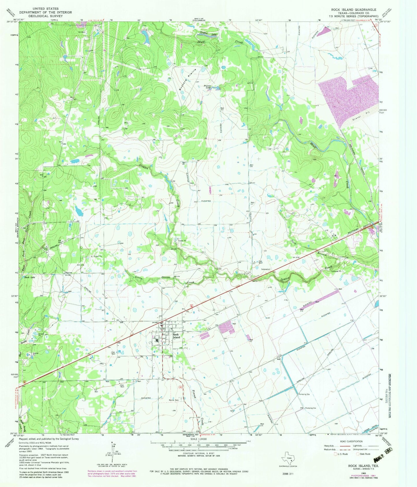
Classic USGS Rock Island Texas 7.5'x7.5' Topo Map
Regular price
$16.95
Regular price
Sale price
$16.95
Unit price
per
Couldn't load pickup availability
Historical USGS topographic quad map of Rock Island in the state of Texas. Map scale may vary for some years, but is generally around 1:24,000. Print size is approximately 24" x 27"
This quadrangle is in the following counties: Colorado.
The map contains contour lines, roads, rivers, towns, and lakes. Printed on high-quality waterproof paper with UV fade-resistant inks, and shipped rolled.
Contains the following named places: Black Lake, Buzzard Prairie, Colorado County, Griffin Lake, Jack Branch, Little Crasco Creek, Myrtle Cemetery, Prairie Lake, Rock Island, Rock Island Census Designated Place, Rock Island Post Office, Rock Island Volunteer Fire Department, ZIP Code: 77470