MyTopo
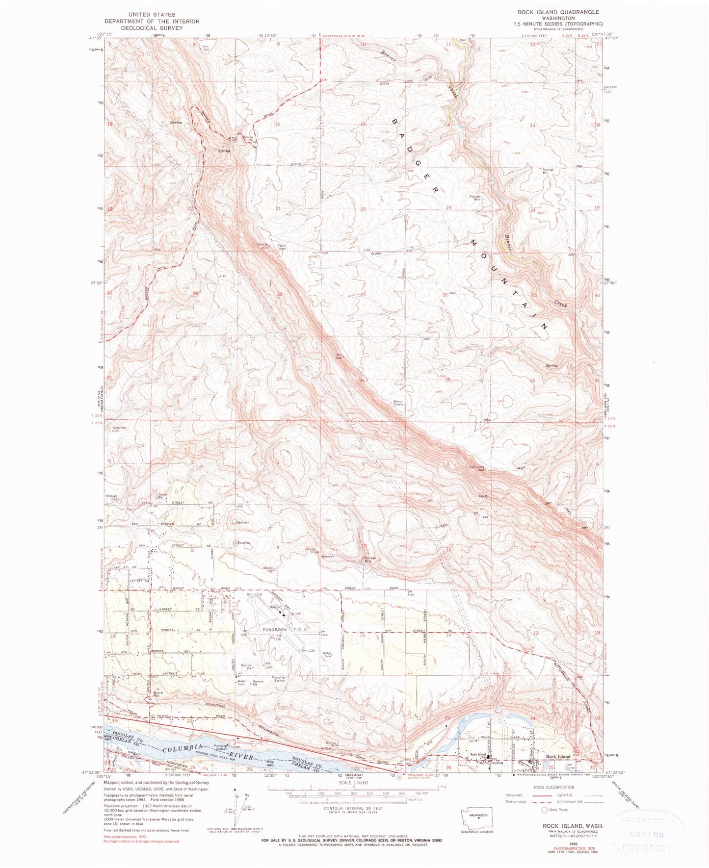
Classic USGS Rock Island Washington 7.5'x7.5' Topo Map
Couldn't load pickup availability
Historical USGS topographic quad map of Rock Island in the state of Washington. Map scale may vary for some years, but is generally around 1:24,000. Print size is approximately 24" x 27"
This quadrangle is in the following counties: Chelan, Douglas.
The map contains contour lines, roads, rivers, towns, and lakes. Printed on high-quality waterproof paper with UV fade-resistant inks, and shipped rolled.
Contains the following named places: Blue Heron Lake, Douglas County Fire District 2 Station 222 Pangborn Airport, Douglas County Fire District 2 Station 3, East Wenatchee Division, Hamilton Cemetery, Hideaway Lake, KSSY-FM (Wenatchee), Pangborn Memorial Airport, Putters Lake, Rock Island, Rock Island Elementary School, Stemilt Creek, ZIP Code: 98802