MyTopo
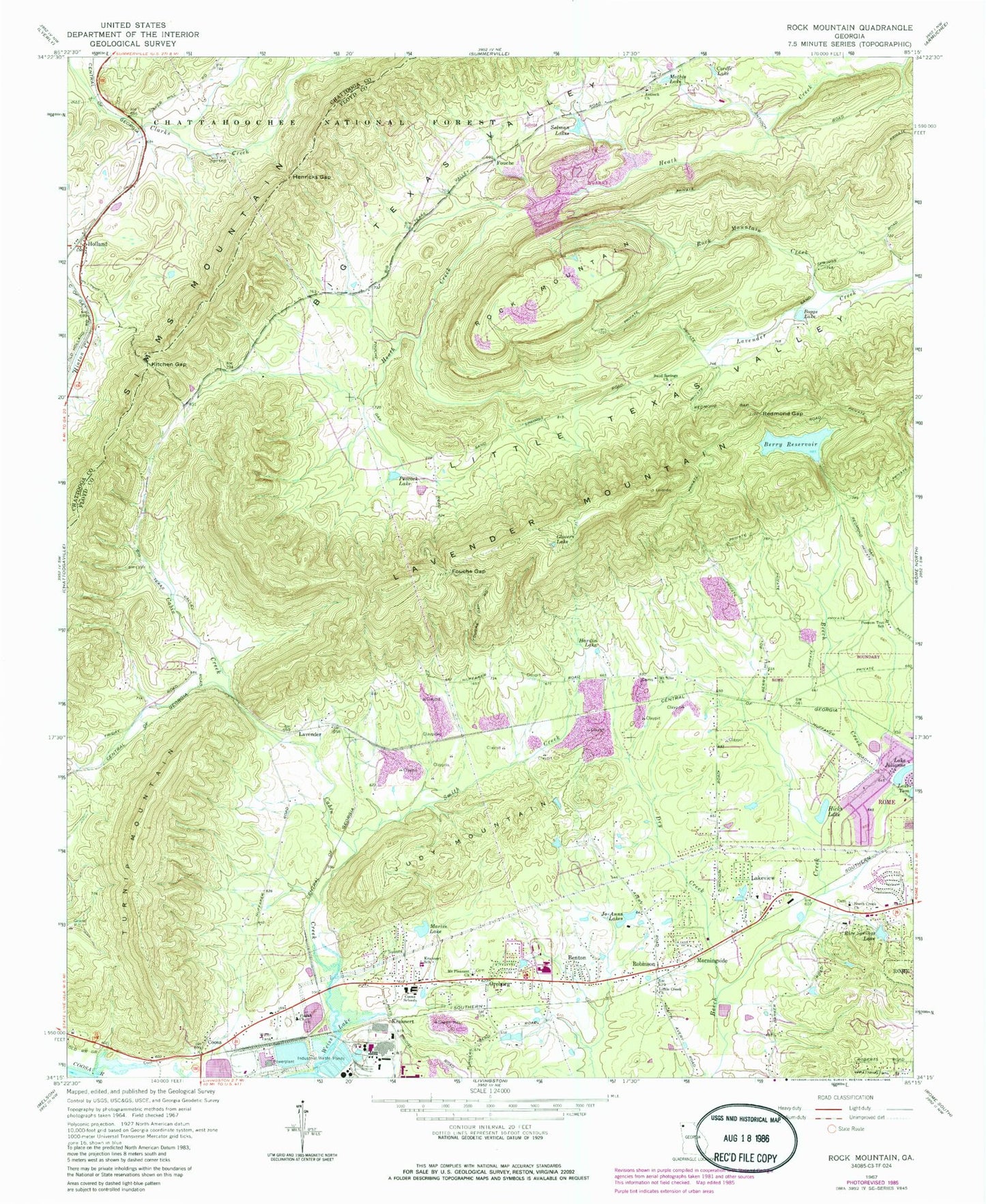
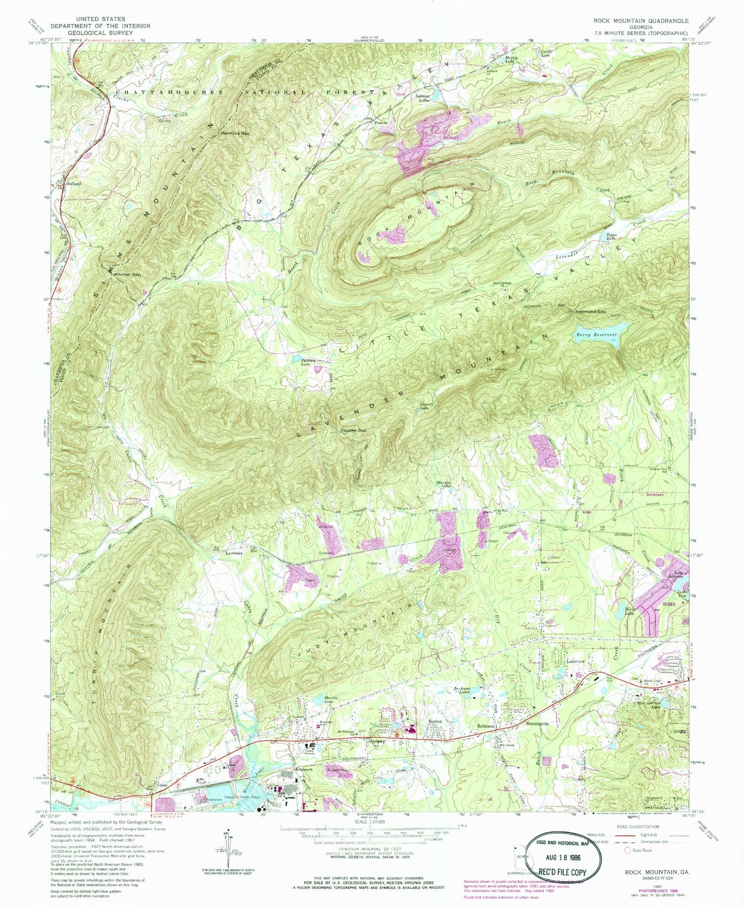
Classic USGS Rock Mountain Georgia 7.5'x7.5' Topo Map
Couldn't load pickup availability
Historical USGS topographic quad map of Rock Mountain in the state of Georgia. Typical map scale is 1:24,000, but may vary for certain years, if available. Print size: 24" x 27"
This quadrangle is in the following counties: Chattooga, Floyd.
The map contains contour lines, roads, rivers, towns, and lakes. Printed on high-quality waterproof paper with UV fade-resistant inks, and shipped rolled.
Contains the following named places: Cave Spring Cemetery, Padlock Cemetery, Benton, Berry Reservoir, Boggs Lake, Cabin Creek, Cordle Lake, Dry Creek, Fouche Gap, Funderburk Creek, Glovers Lake, Hardin Lake, Henricks Gap, Hicks Lake, Holland, Jo-Anns Lakes, Lake Julianne, Kitchen Gap, Krannert School, Lavender, Little Creek Church, Martin Lake, Mathis Lake, Meadow Lake, Mount Alto Church, Mount Pleasant Church, Oreburg, Peacock Lake, Pisgah Church, Possum Trot School, Redmond Gap, Rice Springs Lake, Rock Mountain Creek, Sand Springs Church, Selman Lakes, Smith Creek, Turnip Mountain, Fouche, Judy Mountain, Krannert, Lakeview, Morningside, Robinson, Rock Mountain, Berry Reservoir Dam, Rowell Siding (historical), Antioch Cemetery, Beard Spring, Beech Creek Cemetery, Beech Creek Homes, Berryhill, Bone, Butler Cemetery, Coosa High School, Coosa Post Office, Evergreen School (historical), Lakeview Baptist Church, Mount Alto Cemetery, Mount Pleasant Cemetery, Pisgah Cemetery, Possum Trot Cemetery, Possum Trot Church, Rice Spring Farm, Rice Springs Estates, Rices Spring, Rollingwood, Sand Spring, Sand Springs Cemetery, Williamsburg Estates, Antioch Church, Beech Creek Church, Chubb Chapel, Coosa, Coosa Schools, Coosa Middle School, Rome - Floyd County Fire Department Station 7, Holland Volunteer Fire Department


