MyTopo
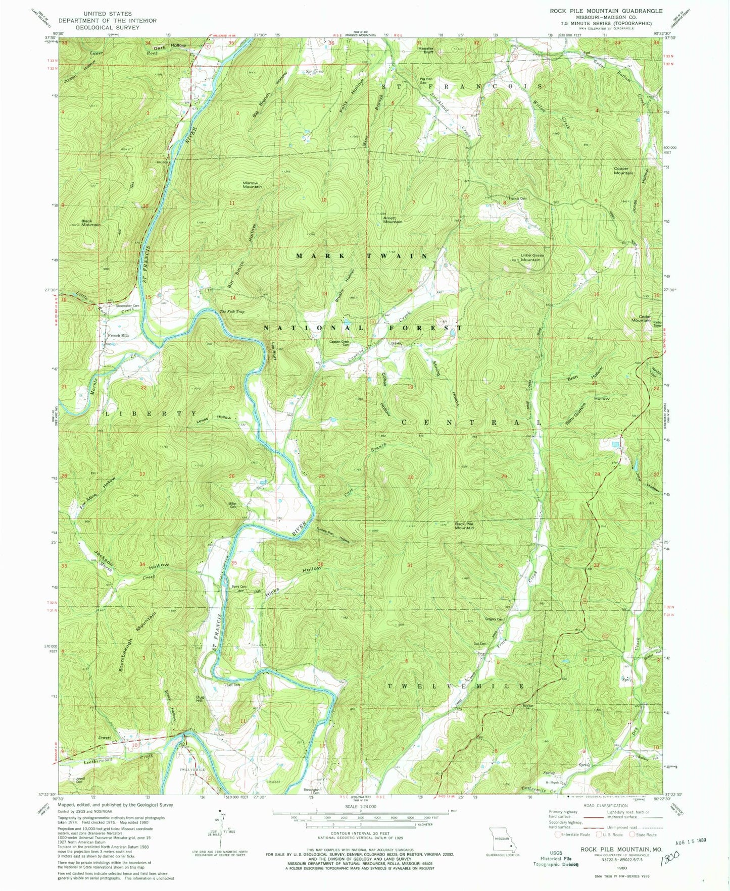
Classic USGS Rock Pile Mountain Missouri 7.5'x7.5' Topo Map
Couldn't load pickup availability
Historical USGS topographic quad map of Rock Pile Mountain in the state of Missouri. Typical map scale is 1:24,000, but may vary for certain years, if available. Print size: 24" x 27"
This quadrangle is in the following counties: Madison.
The map contains contour lines, roads, rivers, towns, and lakes. Printed on high-quality waterproof paper with UV fade-resistant inks, and shipped rolled.
Contains the following named places: Greens Chapel (historical), Greens Chapel School (historical), Mount Pisgah School (historical), Pig Pen Gap, Mount Pisgah Cemetery, Arnett Mountain, Black Mountain, Captain Creek, Captain Creek School, Cedar Mountain, Dark Hollow, Dry Creek, Faro, French Mills, King School, Leatherwood Creek, Little Grass Mountain, Little Rock Creek, Lower Rock Creek, Marble Creek, Marlow Mountain, Marsh Creek, Marsh Creek, Rock Pile Mountain, Trace Creek School (historical), Wide Ford, Hicks Hollow, Ballew Hollow, Sulfur Hollow, Jones Hollow, Cox Spring Hollow, Big Branch Hollow, Jordan Hollow, Jackson Hollow, Cox Cemetery, Gregory Cemetery, Brewington Cemetery, East Cemetery, Dug Hill, Stacy Hollow, Jewett Cemetery, Stumbeaugh Mountain, Turkey Pen Hollow, Berry Cemetery, Cave Branch, Miller Cemetery, Sam Griffths Hollow, Bratt Hollow, Mining Hollow, Cobalt Hollow, Captains Creek Cemetery, Lee Bluff, Lewis Hollow, Brushy Hollow, The Fish Trap, Bill Smith Hollow, Fox Mine Hollow, Shoemaker Cemetery, Francis Cemetery, Copper Mountain, Willow Creek, Hassler Bluff, Polly Hollow, Mine Branch, Rockpile Mountain Wilderness, Mount Pisgah Church, Henry Gaines Lake Dam, Skaggs Lake Dam


