MyTopo
Classic USGS Rock River Michigan 7.5'x7.5' Topo Map
Couldn't load pickup availability
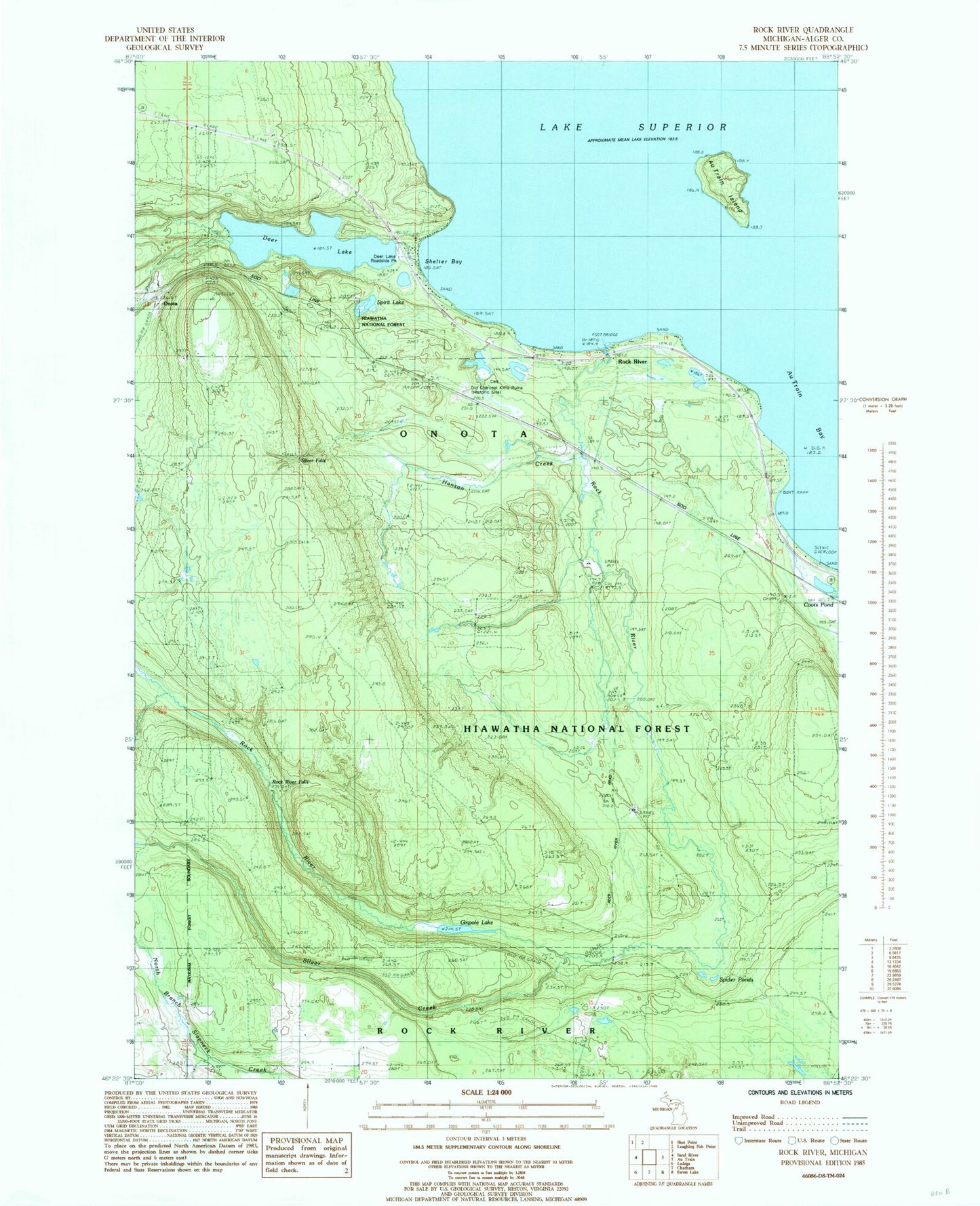
Historical USGS topographic quad map of Rock River in the state of Michigan. Map scale may vary for some years, but is generally around 1:24,000. Print size is approximately 24" x 27"
This quadrangle is in the following counties: Alger.
The map contains contour lines, roads, rivers, towns, and lakes. Printed on high-quality waterproof paper with UV fade-resistant inks, and shipped rolled.
Contains the following named places: Au Train Bay, Au Train Island, B A Creek, CCC Camp, Deer Lake, Deer Lake Roadside Park, Ginpole Lake, Hanson Creek, Johnson Lake Lookout Tower, Onota, Onota Post Office, Onota Station, Rock River, Rock River Canyon Wilderness, Rock River Falls, Rock River Post Office, Rock River Station, Shelter Bay, Silver Creek, Silver Falls, Spider Ponds, Spirit Lake, Township of Onota, Trudell's Graves, ZIP Code: 49806