MyTopo
Classic USGS Rockaway Creek Texas 7.5'x7.5' Topo Map
Regular price
$16.95
Regular price
Sale price
$16.95
Unit price
per
Couldn't load pickup availability
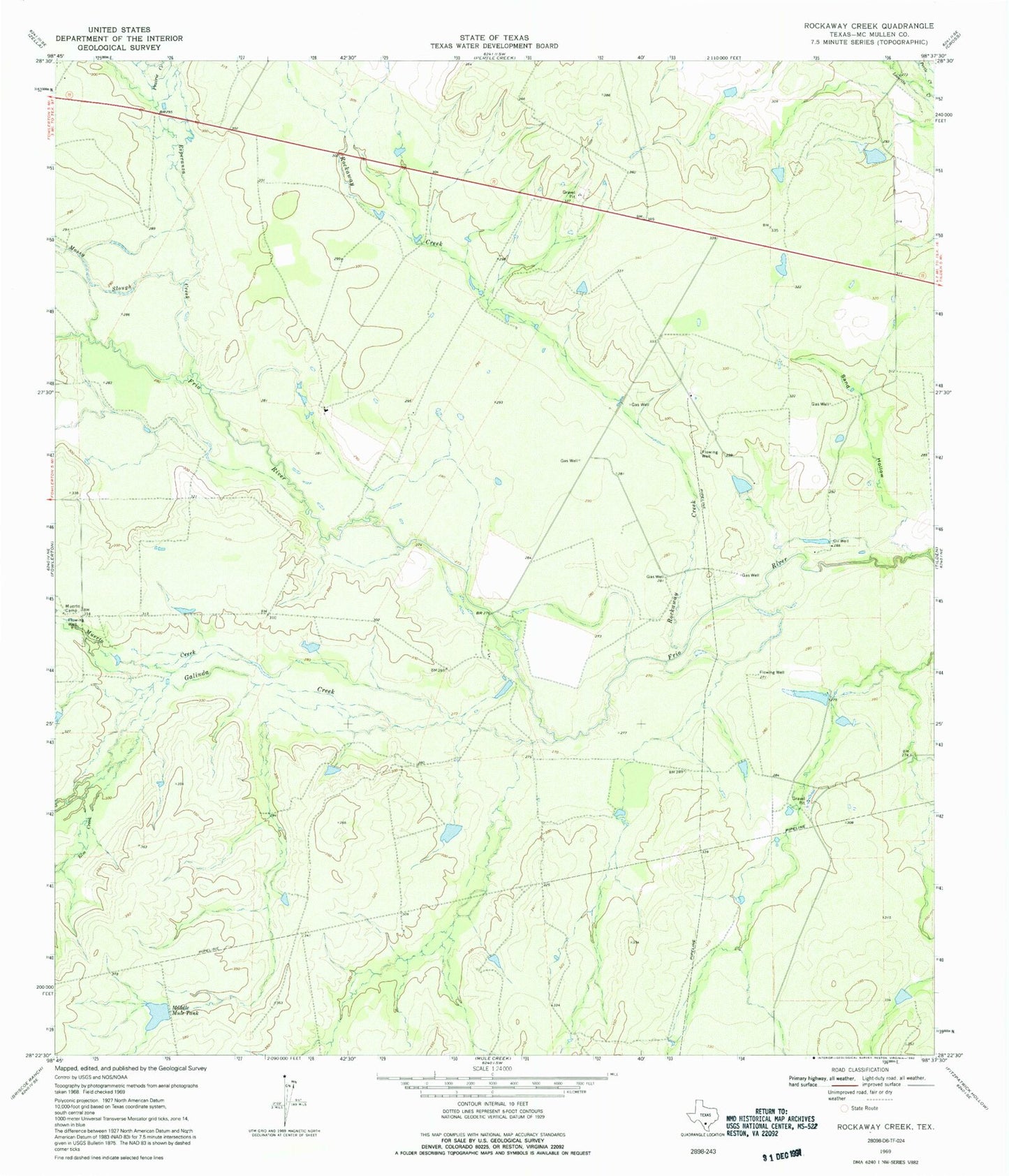
Historical USGS topographic quad map of Rockaway Creek in the state of Texas. Map scale may vary for some years, but is generally around 1:24,000. Print size is approximately 24" x 27"
This quadrangle is in the following counties: McMullen.
The map contains contour lines, roads, rivers, towns, and lakes. Printed on high-quality waterproof paper with UV fade-resistant inks, and shipped rolled.
Contains the following named places: Elm Creek, Esperanza Creek, Galinda Creek, Kurkendall Lake, Kurkendall Lake Dam, Middle Mule Tank, Middle Mule Tank Dam, Mossy Slough, Muerto Camp, Muerto Creek, Prairie Creek, Rockaway Creek, Sand Hollow