MyTopo
USGS Classic Rockbound Valley California 7.5'x7.5' Topo Map
Couldn't load pickup availability
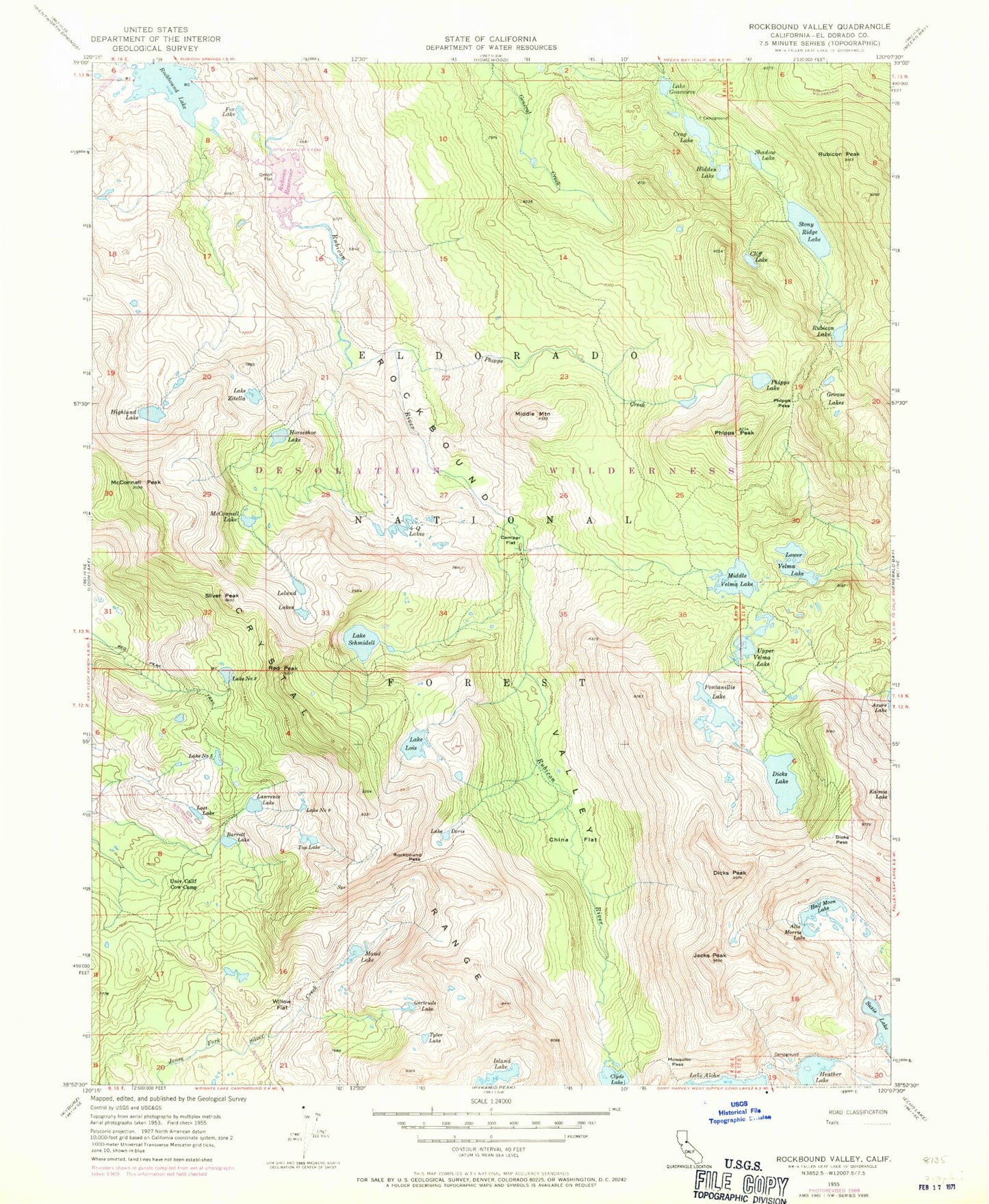
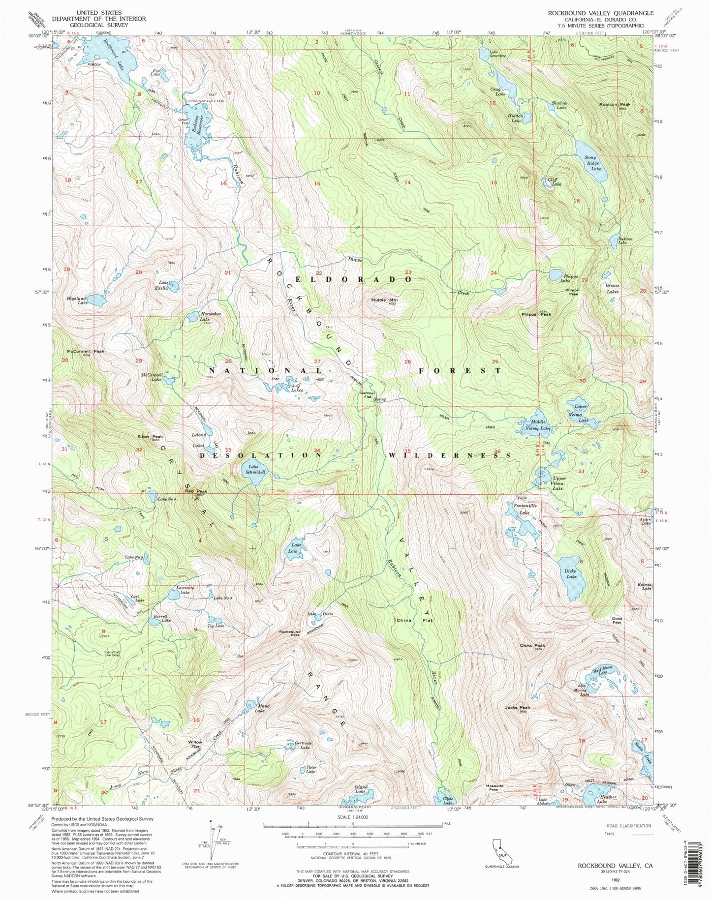
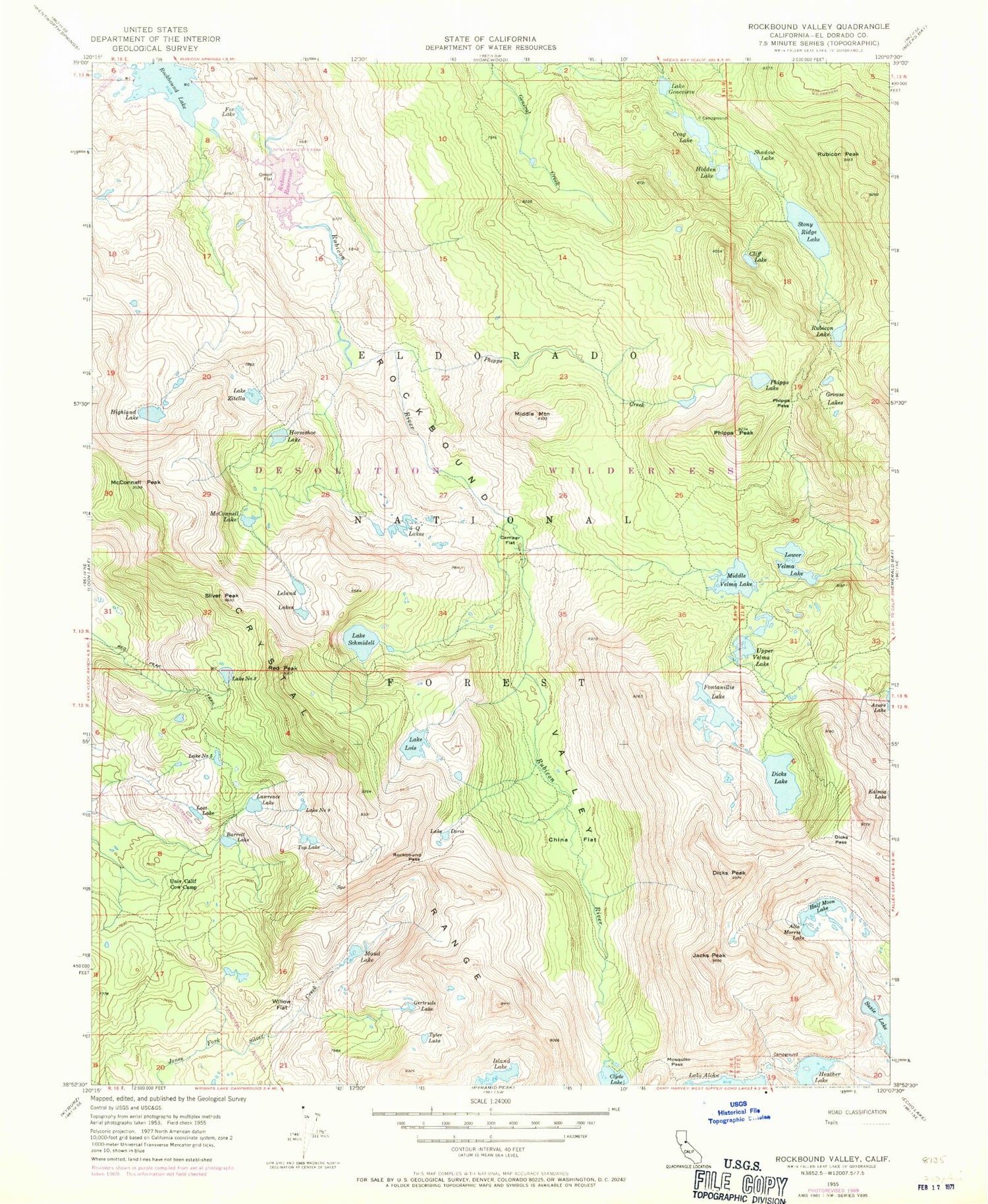
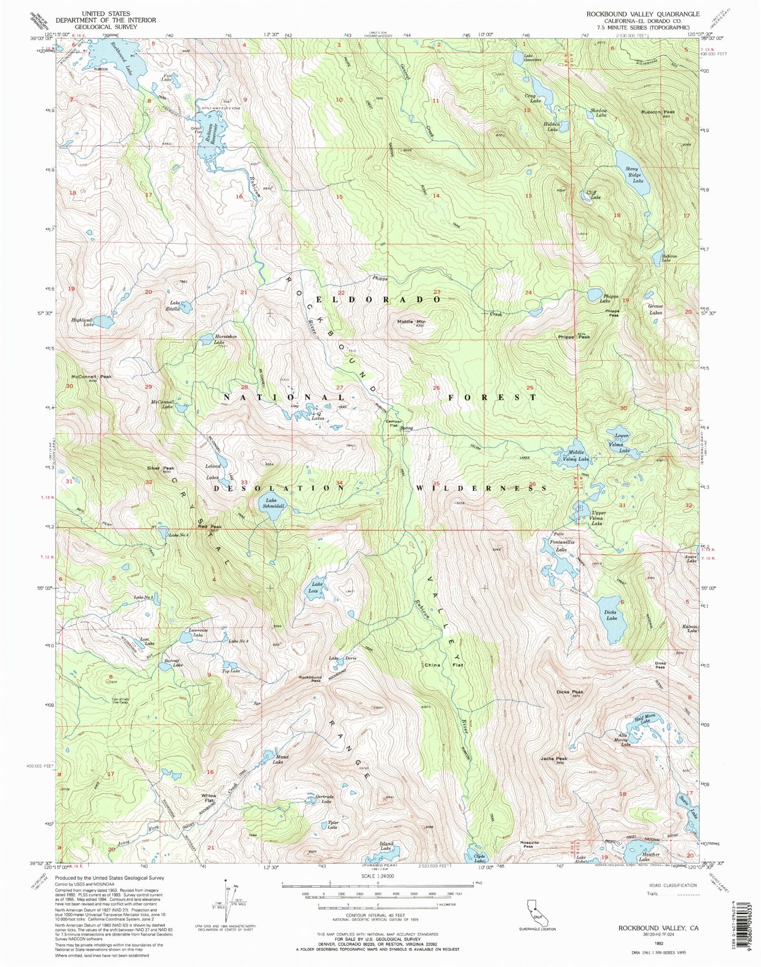
Historical USGS topographic quad map of Rockbound Valley in the state of California. Scale: 1:24000. Print size: 24" x 27"
This quadrangle is in the following counties: El Dorado.
The map contains contour lines, roads, rivers, towns, lakes, and grids including latitude / longitude and UTM / MGRS. Printed on high-quality waterproof paper with UV fade-resistant inks.
Contains the following named places: Alta Morris Lake, Barrett Lake, Camper Flat, China Flat, Cliff Lake, Crag Lake, Dicks Lake, Dicks Pass, Dicks Peak, Lake Doris, Fontanillis Lake, Four-Q Lakes, Fox Lake, Lake Genevieve, Gertrude Lake, Grouse Lakes, Half Moon Lake, Hidden Lake, Highland Lake, Horseshoe Lake, Jacks Peak, Lawrence Lake, Leland Lakes, Lake Lois, Lost Lake, Lower Velma Lake, Maude Lake, McConnell Lake, McConnell Peak, Middle Mountain, Middle Velma Lake, Mosquito Pass, Onion Flat, Phipps Creek, Phipps Lake, Phipps Pass, Phipps Peak, Red Peak, Rockbound Pass, Rubicon Lake, Rubicon Peak, Rubicon Reservoir, Lake Schmidell, Shadow Lake, Silver Peak, Stony Ridge Lake, Top Lake, Tyler Lake, University of California Cow Camp, Upper Velma Lake, Willow Flat, Lake Zitella, Lake Number Three, Lake Number Five, Lake Number Nine, Clyde Lake, Heather Lake, Island Lake, Kalmia Lake, Rockbound Lake, Rockbound Valley, Desolation Wilderness, Susie Lake, Schmidell Lake 1-029 Dam, Highland Lake 1-031 Dam, Stony Ridge Lake 1-032 Dam, Rubicon 1009-009 Dam


