MyTopo
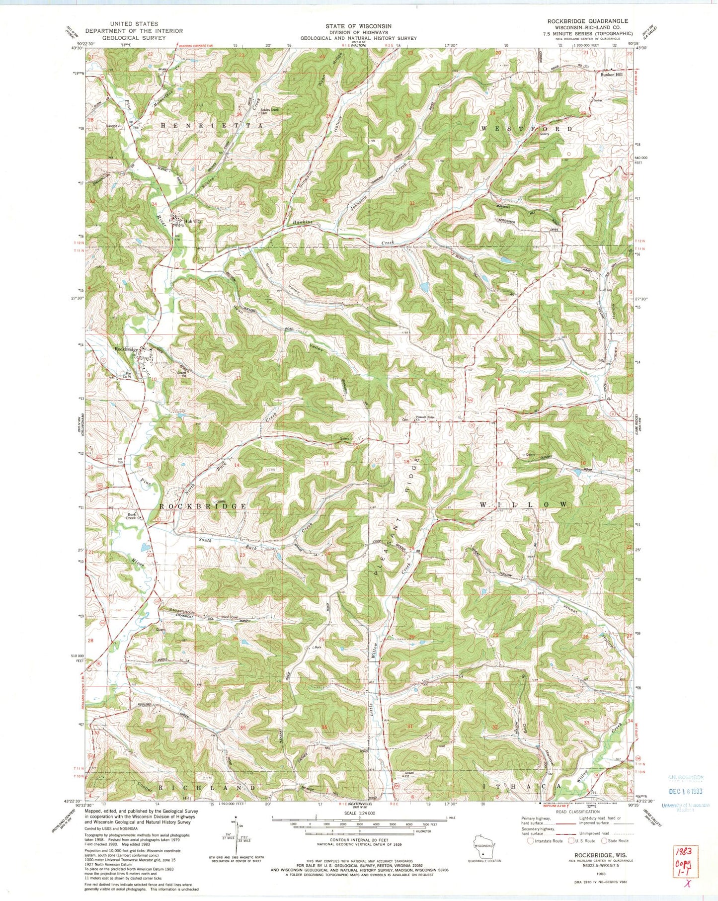
Classic USGS Rockbridge Wisconsin 7.5'x7.5' Topo Map
Couldn't load pickup availability
Historical USGS topographic quad map of Rockbridge in the state of Wisconsin. Typical map scale is 1:24,000, but may vary for certain years, if available. Print size: 24" x 27"
This quadrangle is in the following counties: Richland.
The map contains contour lines, roads, rivers, towns, and lakes. Printed on high-quality waterproof paper with UV fade-resistant inks, and shipped rolled.
Contains the following named places: Buck Creek, Bunker Hill, Fiddlers Green School (historical), Happy Hollow, Hawkins Creek, Hawkins Creek School (historical), Hillside School (historical), Hub City, Melancthon Creek, North Buck Creek, Pleasant Ridge Church, Rockbridge, Simpson Hollow, Soules Creek, Soules Creek Cemetery, South Buck Creek, Upper Little Willow School (historical), West Branch Pine River, Wheat Hollow, Wheat Hollow School (historical), Woodman School (historical), Johnston Creek, Town of Rockbridge, Town of Willow, Rockbridge, Susan W Meinhardt E7773 Dam, 1 Reservoir, Mott G7082 Dam, 0.16 Reservoir, Jordon Number 1 G2888.1 Dam, 0.27 Reservoir, Jordon Number 2 E4202 Dam, 0.44 Reservoir, Jordahl G-7843 Dam, 0.11 Reservoir, Pier County Park, Pleasant Ridge, Pleasant Ridge Cemetery, Rockbridge Cemetery, Rockbridge Elementary School, Ryan Valley, Snow Valley, Steamboat Hollow, Burr Oak Stock Farm, Castle Rock Stock Farm, Cold Spring Dairy and Stock Farm, Dry Hollow Farm, Maple Dell Stock Farm, Meadow Vale Stock and Dairy Farm, Pine Valley Stock Farm, Pleasant Valley Stock Farm, Riverside Stock Farm, East Branch Little Willow Sheep Farm, Orchard Grove Farm, Orchard Hill Stock Farm, Pleasant View Stock and Dairy Farm, Pleasant Ridge Apiary, Pleasant Ridge Farm, Pleasant Ridge Grain Farm, Pretty Valley Stock Farm, Sawyers Sheep Farm, Spring Valley Stock and Dairy Farm, West Branch Stock and Dairy Farm, Coons Ridge Farm, Cottage Grove Farm, Daylight Stock Farm, Evergreen Hollow Farm, Farview Farm, Grand Bluff Stock Farm, Grand Valley Stock Farm, Green Hill Stock Farm, Pine Tree Farm, Rockview Stock Farm, Spring Green Stock Farm, Spring Hill Stock Farm, Sunny Slope Stock Farm, Valley View Farm, Valley View Stock Farm, Hub City Bog State Natural Area, Rockbridge Census Designated Place, Buck Creek Mennonite Church School


