MyTopo
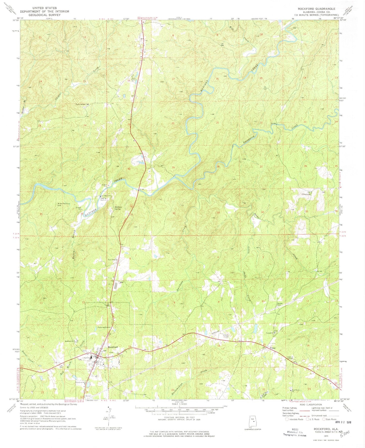
Classic USGS Rockford Alabama 7.5'x7.5' Topo Map
Couldn't load pickup availability
Historical USGS topographic quad map of Rockford in the state of Alabama. Map scale may vary for some years, but is generally around 1:24,000. Print size is approximately 24" x 27"
This quadrangle is in the following counties: Coosa.
The map contains contour lines, roads, rivers, towns, and lakes. Printed on high-quality waterproof paper with UV fade-resistant inks, and shipped rolled.
Contains the following named places: Adams Elementary School, Buford Branch, Church of Christ, Concord Cemetery, Concord Methodist Church, Coosa County, Coosa County Courthouse, Coosa County High School, Coosa County Saddle Club, Coosa County Sheriff's Office, Crewsville, Darsey Cemetery, Davidson Creek, Dunlaps Lake, Elmer Dunnam Dam, Hanover Volunteer Fire Department, Hissop, Hissop Census Designated Place, Hissop Post Office, Howard Cemetery, Howards Pond, J S Dunlap Dam, Jacks Creek, Little Jacks Creek, McEwen Cemetery, McEwen Spring, Meadow Branch, Mill Creek, Miller - Patterson Cemetery, New Home Church, Old Coosa County Jail, Old Rockford Cemetery, Poplar Springs Baptist Church, Poplar Springs Cemetery, Rockford, Rockford Cemetery, Rockford Methodist Cemetery, Rockford Methodist Church, Rockford Police Department, Rockford Post Office, Rockford Volunteer Fire Department, Sears Chapel Cemetery, Sears Chapel Methodist Church, Shady Grove Church, Socapatoy Creek, Thomas Prospect, Town of Rockford


