MyTopo
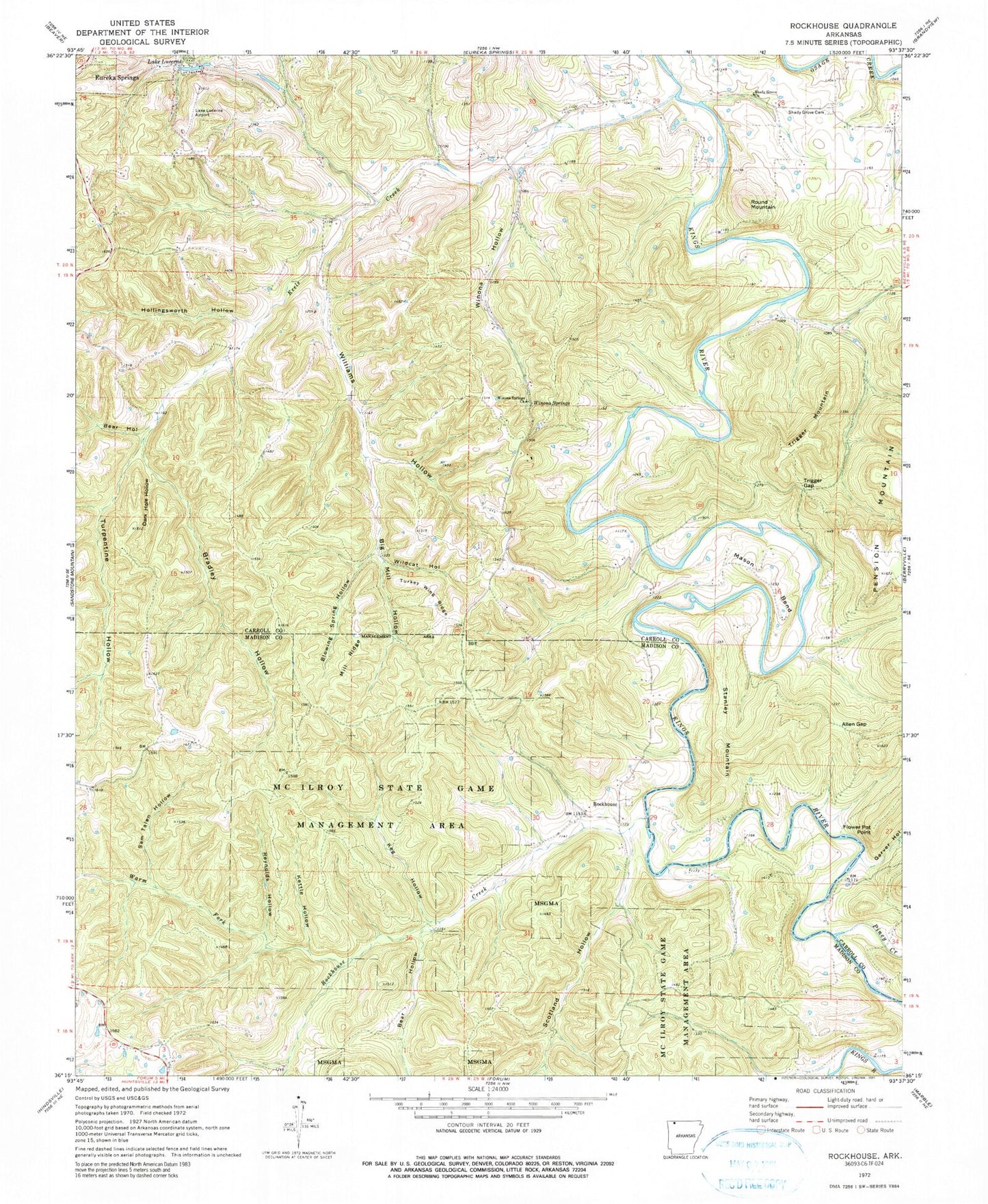
Classic USGS Rockhouse Arkansas 7.5'x7.5' Topo Map
Couldn't load pickup availability
Historical USGS topographic quad map of Rockhouse in the state of Arkansas. Typical map scale is 1:24,000, but may vary for certain years, if available. Print size: 24" x 27"
This quadrangle is in the following counties: Carroll, Madison.
The map contains contour lines, roads, rivers, towns, and lakes. Printed on high-quality waterproof paper with UV fade-resistant inks, and shipped rolled.
Contains the following named places: Allen Gap, Bear Hollow, Bear Hollow, Big Mill Hollow, Blowing Spring Hollow, Bradley Hollow, Dark Hole Hollow, Hollingsworth Hollow, Keels Creek, Keg Hollow, Kettle Hollow, Mason Bend, Mill Ridge, Piney Creek, Reynolds Hollow, Rockhouse Creek, Sam Talen Hollow, Scotland Hollow, Shady Grove Cemetery, Trigger Gap, Turkey Wing Ridge, Turpentine Hollow, Warm Fork, Wildcat Hollow, Williams Hollow, Winona Hollow, Winona Springs, Winona Springs Church, Rockhouse, Flower Pot Point, Round Mountain, Stanley Mountain, Trigger Mountain, Township of Winona, Winona School (historical), Winona Springs (historical), Garver Hollow, Shady Grove Baptist Church, Lake Lucerene Dam, Lake Lucerene, Rockhouse Cemetery, Black Horse Landing Ultralight Flightpark (historical), Flying Machines Airstrip Ultralight Flightpark


