MyTopo
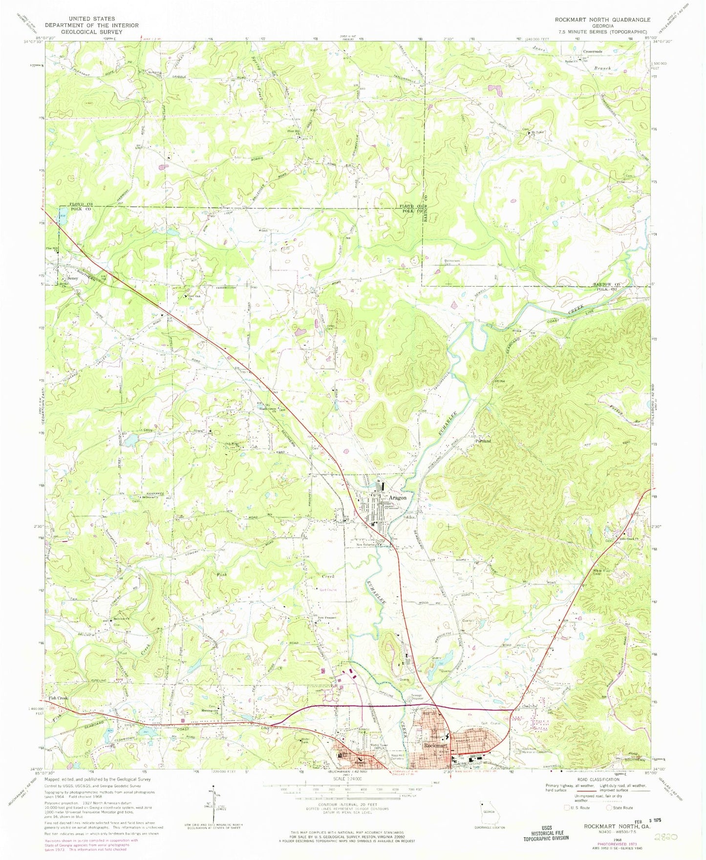
Classic USGS Rockmart North Georgia 7.5'x7.5' Topo Map
Couldn't load pickup availability
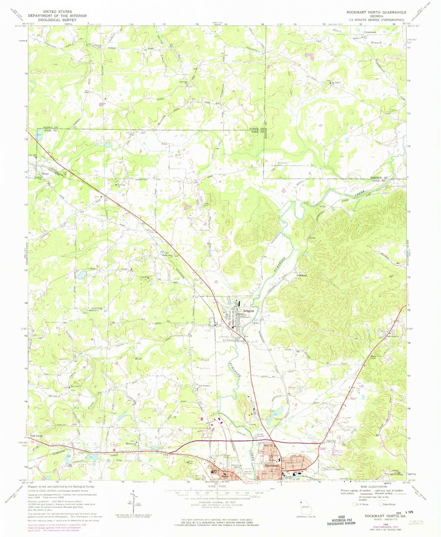
Historical USGS topographic quad map of Rockmart North in the state of Georgia. Map scale may vary for some years, but is generally around 1:24,000. Print size is approximately 24" x 27"
This quadrangle is in the following counties: Bartow, Floyd, Polk.
The map contains contour lines, roads, rivers, towns, and lakes. Printed on high-quality waterproof paper with UV fade-resistant inks, and shipped rolled.
Contains the following named places: Aragon, Aragon Baptist Church, Aragon City Fire Department, Aragon Division, Aragon Police Department, Aragon Post Office, Aragon Station, Bellview African Methodist Episcopal Church, Bellview Baptist Church, Bethel Church, Bethel Crossroads Cemetery, Bethlehem Church, Bethlehem Methodist Church Cemetery, Brewers, City of Aragon, City of Rockmart, Crossroads, Crossroads Church, Culver Chapel Cemetery, Culvers Chapel, Davette Spring, David Chapel, Davis Chapel Cemetery, Davitte, Deaton Mine, Deaton Spring, Dickerson Family Cemetery, Eastside Elementary School, Elm Street School, Euharlee School, Fish Creek, Flint Hill Cemetery, Flint Hill Church, Flint Hill School, Goodyear Elementary School, Hamlet, Harmony School, Hills Creek Church, Jones Cemetery, Jones School, Live Oak Church, Morning View Church, Mount Tabor Church, Mount Tabor Church Cemetery, New Euharlee Church, New Hope Church, New Prospect Church, Oak Ridge Church, Pepper Lake, Pepper Lake Dam, Piedmont Avenue Baptist Church, Pine Hill Church, Pine Hill Lake, Pine Hill Lake Dam, Pineville, Polk County Fire Department Aragon Station, Polk Medical Center, Portland, Posco, Ravenel, Red Ore, Rockmart, Rockmart Fire Department, Rockmart High School, Rockmart Memorial Gardens, Rockmart Middle School, Rockmart Quarry, Rose Hill Cemetery, Ross Cemetery, Seney, Seney Church, Shady Grove Church, West Aragon Church, WZOT-AM (Rockmart), ZIP Code: 30104


