MyTopo
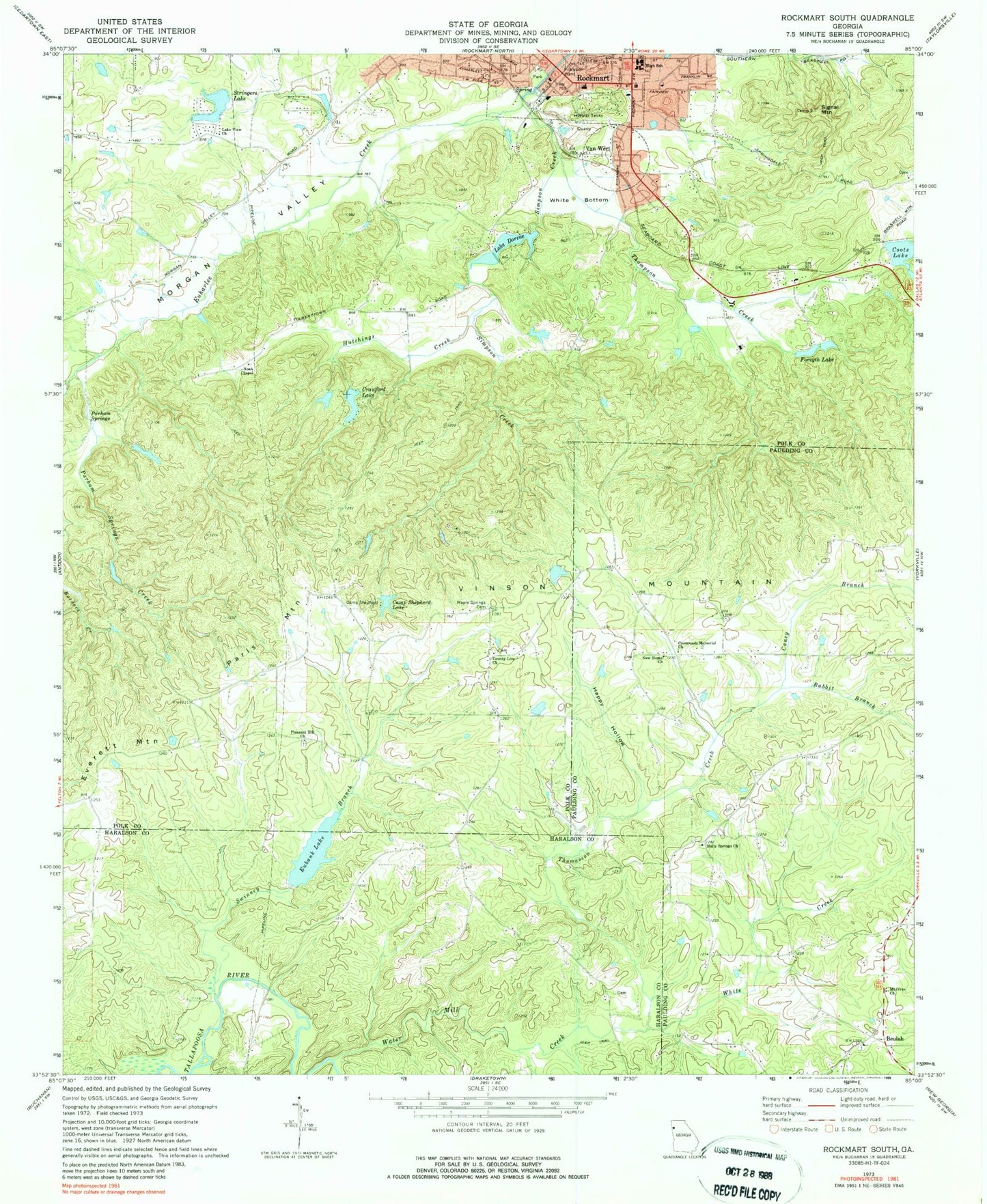
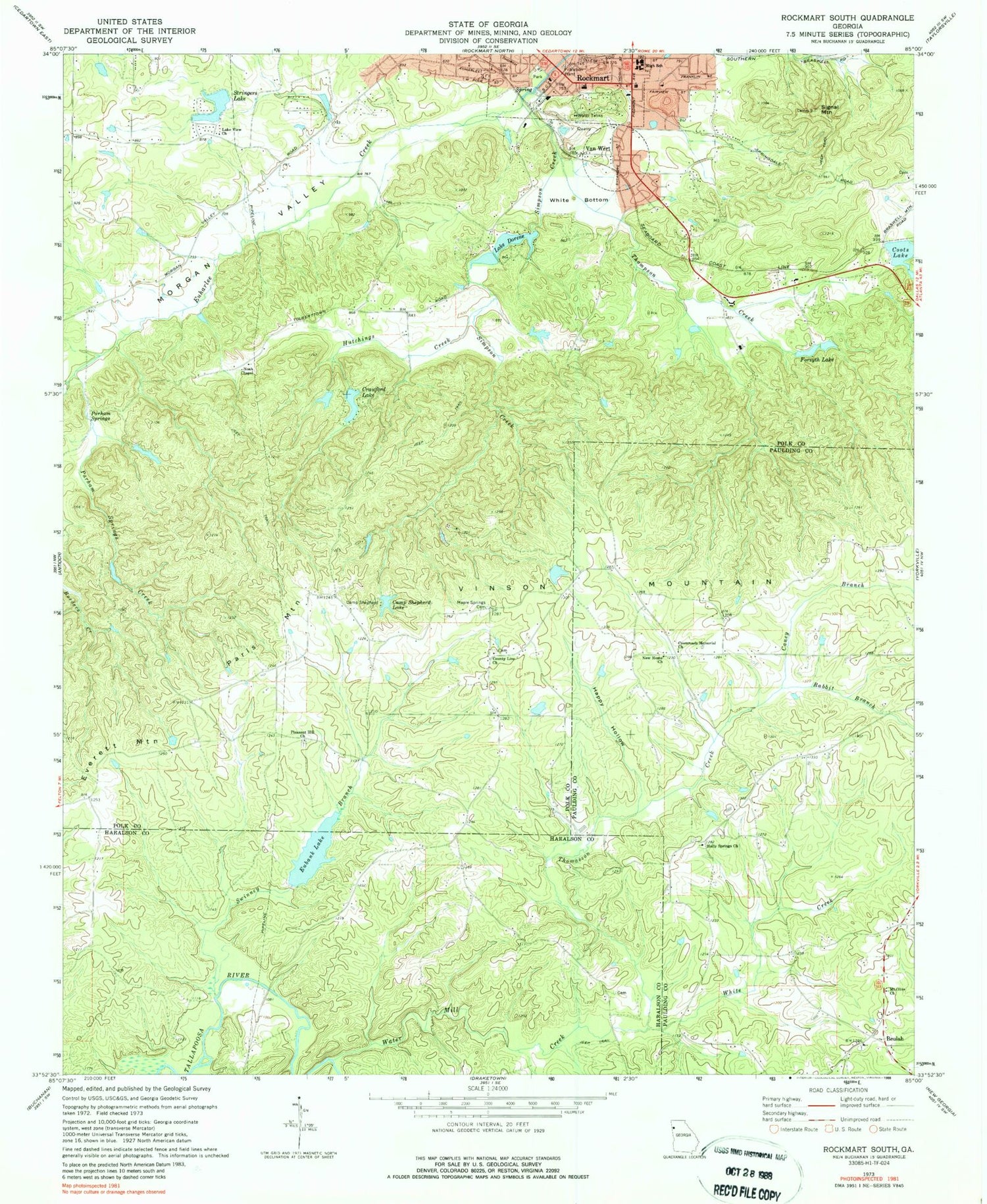
Classic USGS Rockmart South Georgia 7.5'x7.5' Topo Map
Couldn't load pickup availability
Historical USGS topographic quad map of Rockmart South in the state of Georgia. Map scale may vary for some years, but is generally around 1:24,000. Print size is approximately 24" x 27"
This quadrangle is in the following counties: Haralson, Paulding, Polk.
The map contains contour lines, roads, rivers, towns, and lakes. Printed on high-quality waterproof paper with UV fade-resistant inks, and shipped rolled.
Contains the following named places: Allgoods Mill, Beulah, Beulah Cemetery, Beulah Land Baptist Church, Calvary Christian School, Camp Shepherd, Camp Shepherd Lake, Caney Branch, Coots Lake, County Line Church, Crawford Lake, Crawford Lake Dam, Crossroads Memorial Church, Eubank Lake, Eubank Lake Dam, Euharlee Structure Number 49 Dam, Everett Lake, Everett Mountain, Ezell Garner Cemetery, First Baptist Church of Rockmart, Forsyth Lake, Happy Hollow, Hicks Prospect, Holly Springs Cemetery, Holly Springs Church, Home View Church, Hutchings Creek, King Lake, King Lake Dam, Lake Dorene, Lake Dorene Dam, Lake View Church, Lower Coots Lake, Lower Coots Lake Dam, Maple Springs Cemetery, Morgan Valley, Mount Olive Church, New Home Church, Noah Chapel, Parham Springs, Parham Springs Creek, Parham Springs Lake, Parham Springs Lake Dam, Paris Mountain, Paulding County Fire and Rescue Bureau Station 7, Pleasant Hill Church, Polk County Volunteer Fire Department Vinson Mountain Station, Rabbit Branch, Riles Creek, Rockmart Division, Rockmart Police Department, Rockmart Post Office, Sara M Ragsdale Elementary School, Second Baptist Church of Rockmart, Signal Mountain, Simpson Creek, Simpson Mill, Springdale Church, Stringers Lake, Stringers Lake Dam, Swinney Branch, Thomasson Creek, Thompson Creek, Van Wert, Van Wert Church, Vinson, Vinson Mountain, Water Mill Creek, White Bottom, White Creek, ZIP Code: 30153


