MyTopo
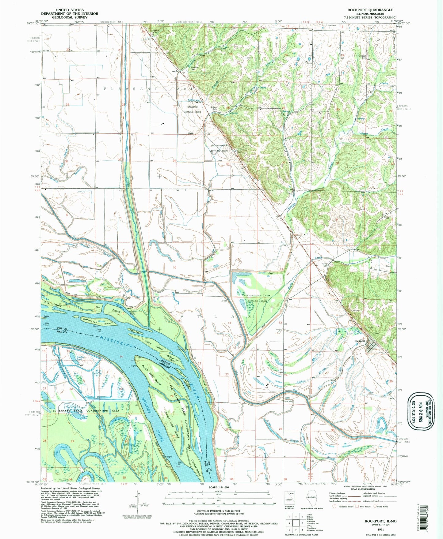
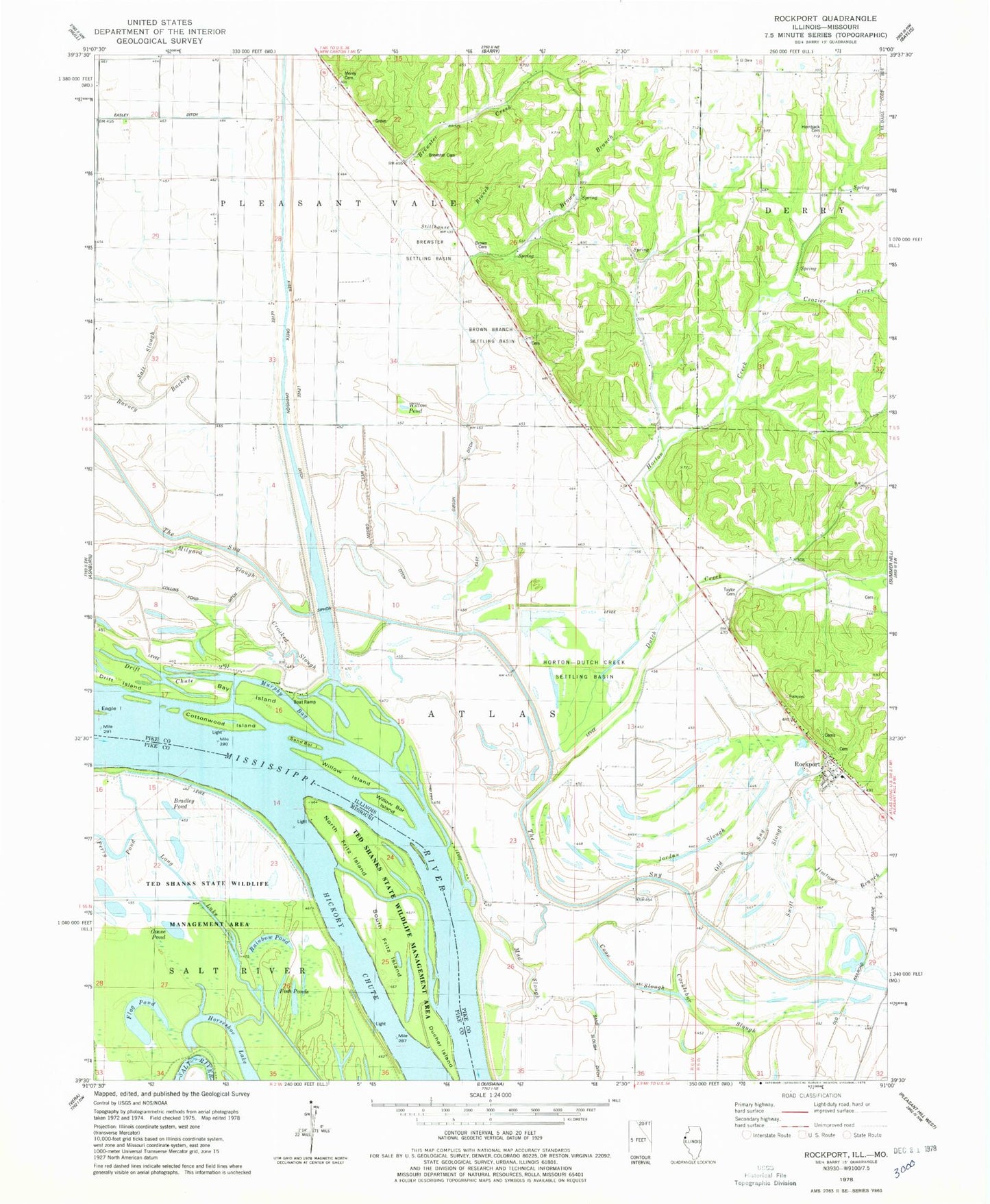
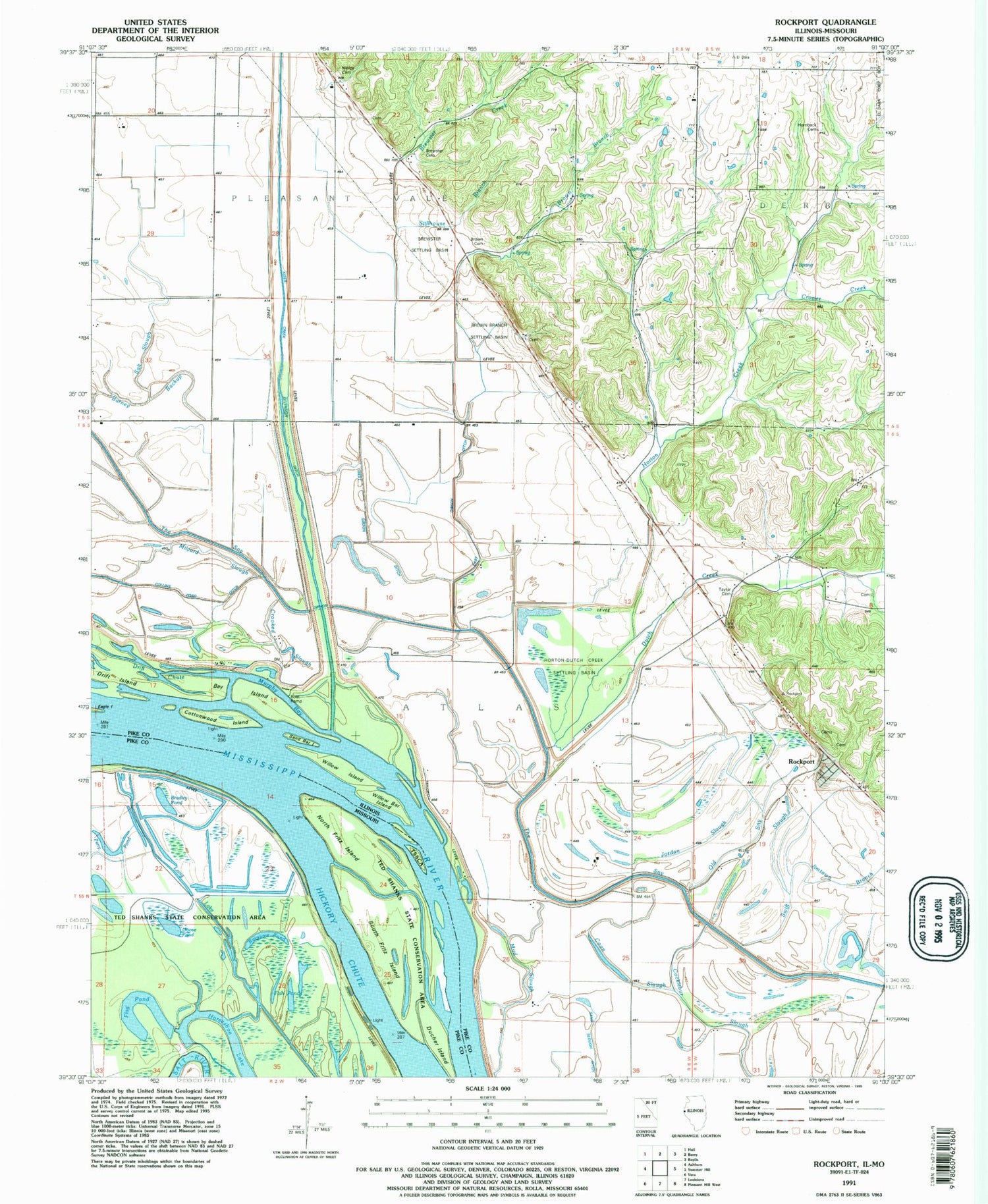
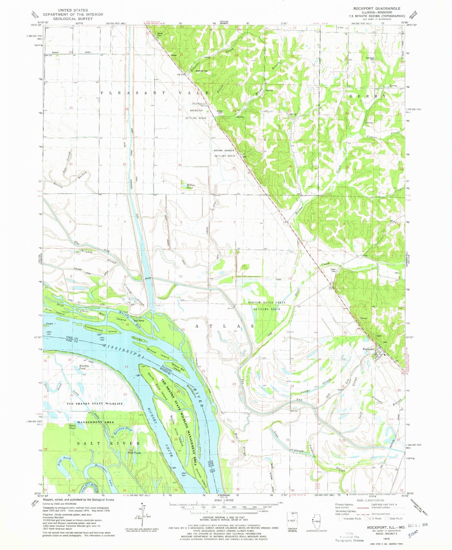
Classic USGS Rockport Illinois 7.5'x7.5' Topo Map
Couldn't load pickup availability
Historical USGS topographic quad map of Rockport in the states of Illinois, Missouri. Map scale may vary for some years, but is generally around 1:24,000. Print size is approximately 24" x 27"
This quadrangle is in the following counties: Pike.
The map contains contour lines, roads, rivers, towns, and lakes. Printed on high-quality waterproof paper with UV fade-resistant inks, and shipped rolled.
Contains the following named places: Barney Backup, Bay Island, Bradley Pond, Brewster Cemetery, Brewster Creek, Brewster School, Brewster Settling Basin, Brokaw Cemetery, Brown Branch, Brown Branch Settling Basin, Brown Cemetery, Chase School, Collins Pond Ditch, Coon Slough, Cottonwood Island, Crooked Slough, Crozier Creek, Crozier School, Diamond Hill School, Drift Chute, Ducher Island, Dutch Creek, Easley Ditch, East Gibson Ditch, Fish Ponds, Flag Pond, Gilgal School, Goose Pond, Hornback Cemetery, Horseshoe Lake, Horton, Horton Creek, Horton School, Horton-Dutch Creek Settling Basin, Jimtown Branch, Jordan Slough, Kiser Creek, Kiser Creek Diversion Ditch, Long Lake, Milyard Slough, Morey Cemetery, Mud Slough, Murphy Bay, North Fritz Island, Old Sny, Perry Pond, Prairie School, Rainbow Pond, Rockport, Rockport Cemetery, Rockport Census Designated Place, Salt Slough, Salt Spring School, Samuel Taylor Cemetery, Sand Bar Island, Sand Slough Ditch, South Fritz Island, Stillhouse Branch, Swift Slough, Township of Atlas, Township of Pleasant Vale, Wallace Farm Cemetery, West Gibson Ditch, Willow Bar Island, Willow Island, Willow Pond, ZIP Codes: 62356, 62370


