MyTopo
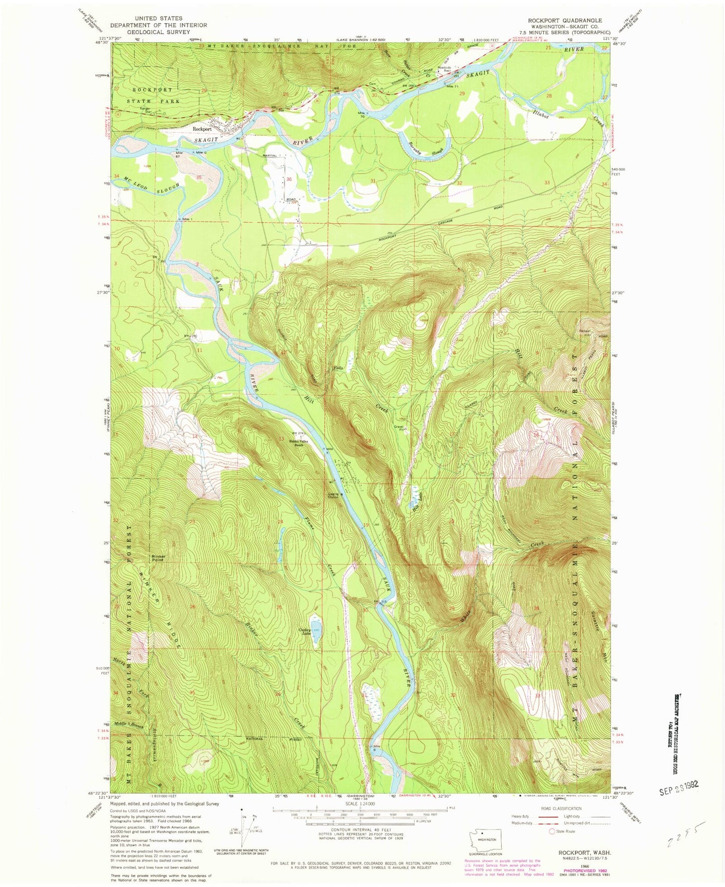
Classic USGS Rockport Washington 7.5'x7.5' Topo Map
Couldn't load pickup availability
Historical USGS topographic quad map of Rockport in the state of Washington. Map scale may vary for some years, but is generally around 1:24,000. Print size is approximately 24" x 27"
This quadrangle is in the following counties: Skagit.
The map contains contour lines, roads, rivers, towns, and lakes. Printed on high-quality waterproof paper with UV fade-resistant inks, and shipped rolled.
Contains the following named places: Barnaby Slough, Barnaby Slough Number Two, Barnaby Slough Number Two Dam, Barr Creek, Caskey Lake, Concrete Sauk Valley Road Bridge, Flume Creek, Hidden Valley Ranch, Hilt Creek, Hilt Lake, Howard Miller Steelhead Recreational Vehicle Park, Illabot Creek, Middle Branch North Fork Stillaguamish River, Rinker Point, Rockport, Rockport Census Designated Place, Rockport Post Office, Rockport State Park, Sauk River, Skagit County Fire District 19 Rockport Fire Department, Skagit Wild and Scenic River, Suiattle Mountain, Sutter Creek, White Creek