MyTopo
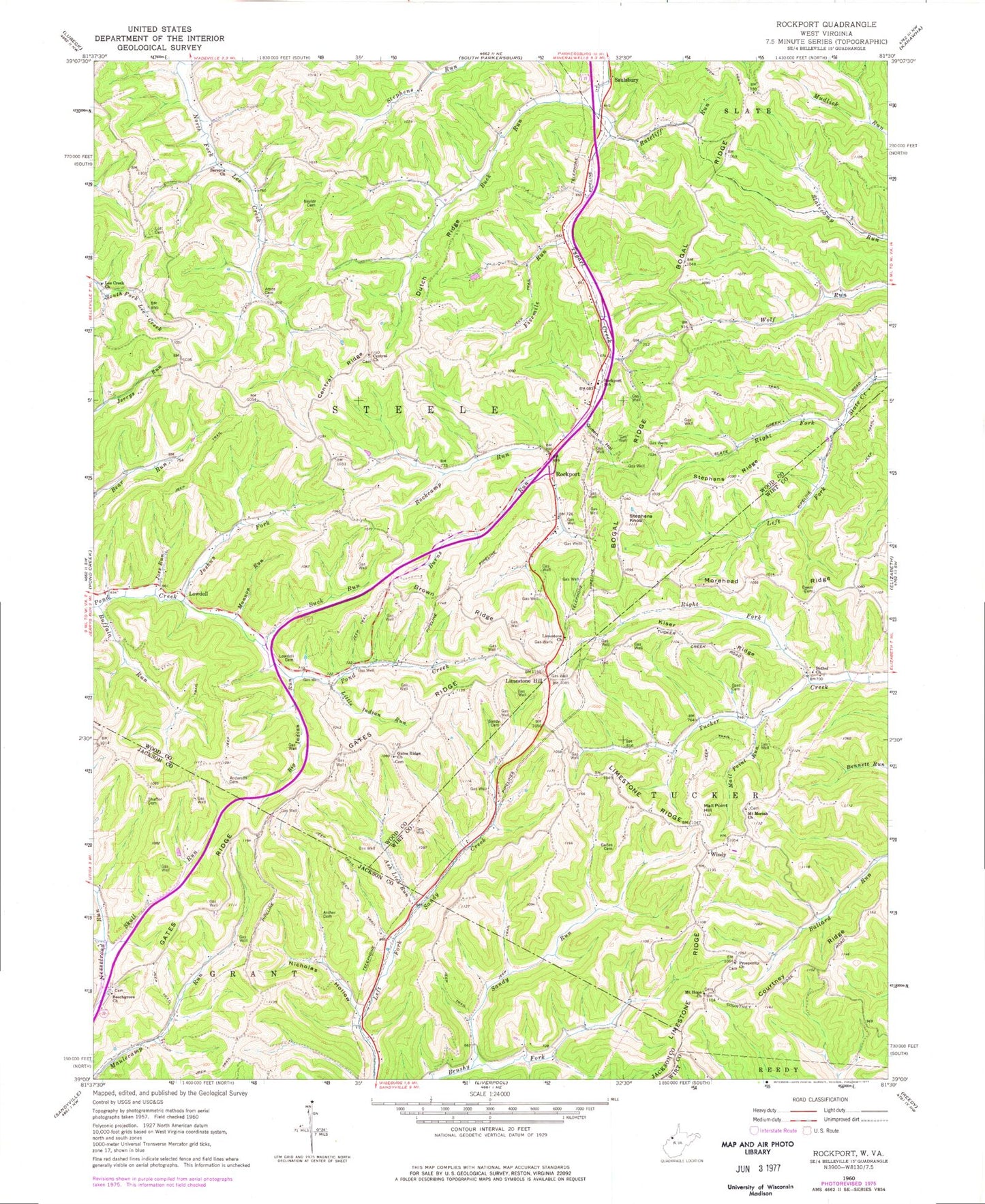
Classic USGS Rockport West Virginia 7.5'x7.5' Topo Map
Couldn't load pickup availability
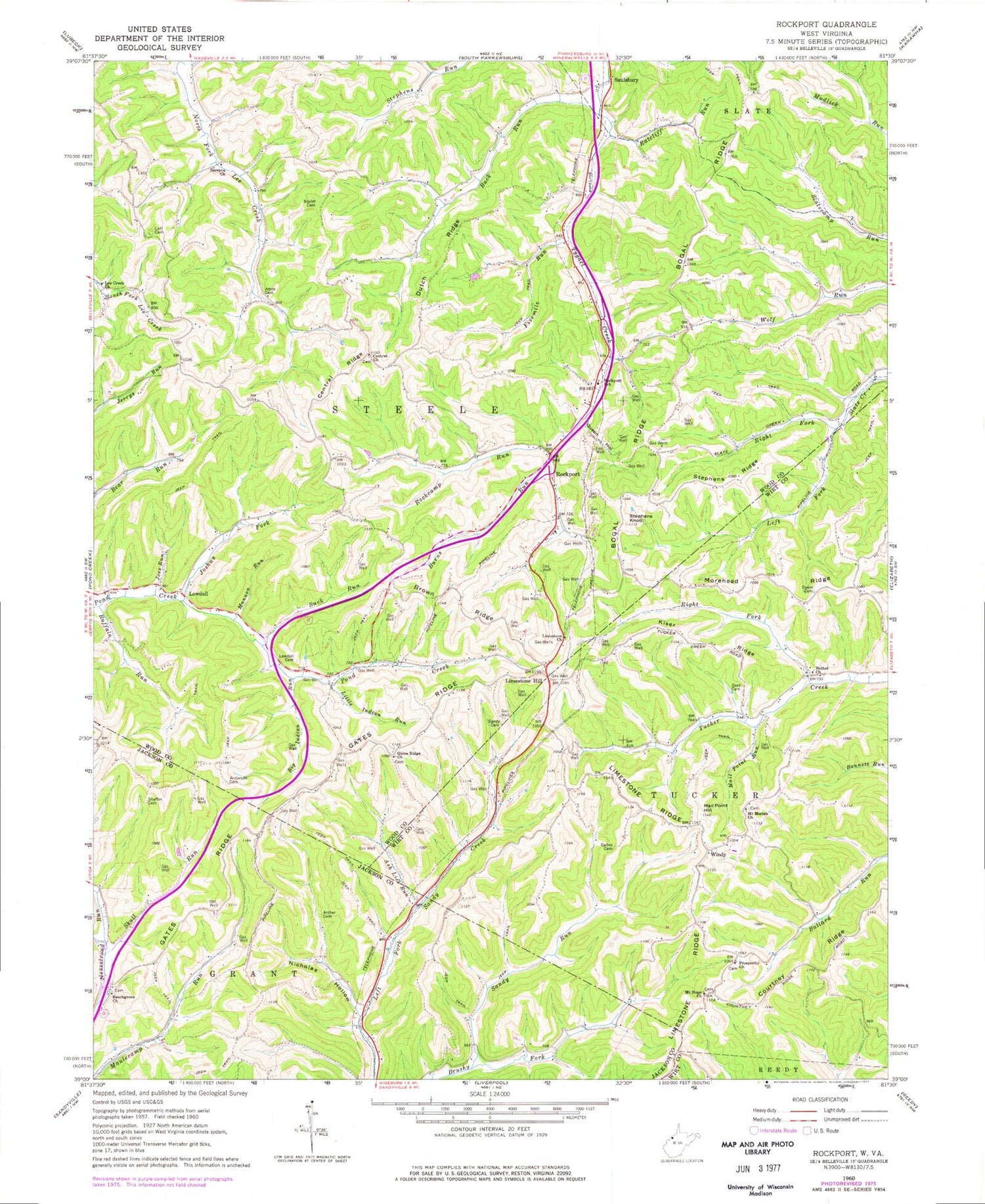
Historical USGS topographic quad map of Rockport in the state of West Virginia. Map scale may vary for some years, but is generally around 1:24,000. Print size is approximately 24" x 27"
This quadrangle is in the following counties: Jackson, Wirt, Wood.
The map contains contour lines, roads, rivers, towns, and lakes. Printed on high-quality waterproof paper with UV fade-resistant inks, and shipped rolled.
Contains the following named places: Amos Cemetery, Anderson Cemetery, Archer Cemetery, Ash Lick Run, Beech Grove School, Beechgrove Church, Bethel Cemetery, Bethel Church, Big Indian Run, Bogal Ridge, Bogal School, Brown Ridge, Buck Run, Buck Run School, Buffalo Run, Burns Run, Centennial School, Central Church of Christ, Central Church of Christ Cemetery, Central Ridge, Courtney Ridge, Deem Cemetery, Dutch Ridge, Fivemile Run, Gaites Cemetery, Gant Cemetery, Gates Ridge, Gates Ridge Church, Gates Ridge Evangelical United Brethren Church Cemetery, Gates Ridge School, Joes Run, Joshus Fork, Kiser Ridge, Lee Creek Church, Left Fork Slate Creek, Limestone Cemetery, Limestone Church, Limestone Hill, Limestone Ridge, Little Indian Run, Lott Cemetery, Lowdell, Lowdell Cemetery, Mail Point Hill, Mail Point Run, Mannon Run, McKinley, Mentor School, Mount Hope School, Mount Hope United Methodist Church, Mount Moriah Cemetery, Mount Moriah Church, Naylor Cemetery, New Era School, Nicholas Hollow, Pond Creek School, Prosperity Cemetery, Prosperity Church, Queen Hollow, Ratcliff Run, Right Fork Slate Creek, Right Fork Tucker Creek, Rising Sun School, Rockcamp Run, Rockport, Rockport School, Sandy Cemetery, Sandy Run, Sarepta Church, Saulsbury, Shaffer Cemetery, Skull Run, Smith Cemetery, Steele District, Stephens Fork School, Stephens Knob, Stephens Ridge, Summerville School, Valley Belle School, Wigal School, Windy, Wolf Run School, ZIP Code: 26169


