MyTopo
Classic USGS Rockville Missouri 7.5'x7.5' Topo Map
Couldn't load pickup availability
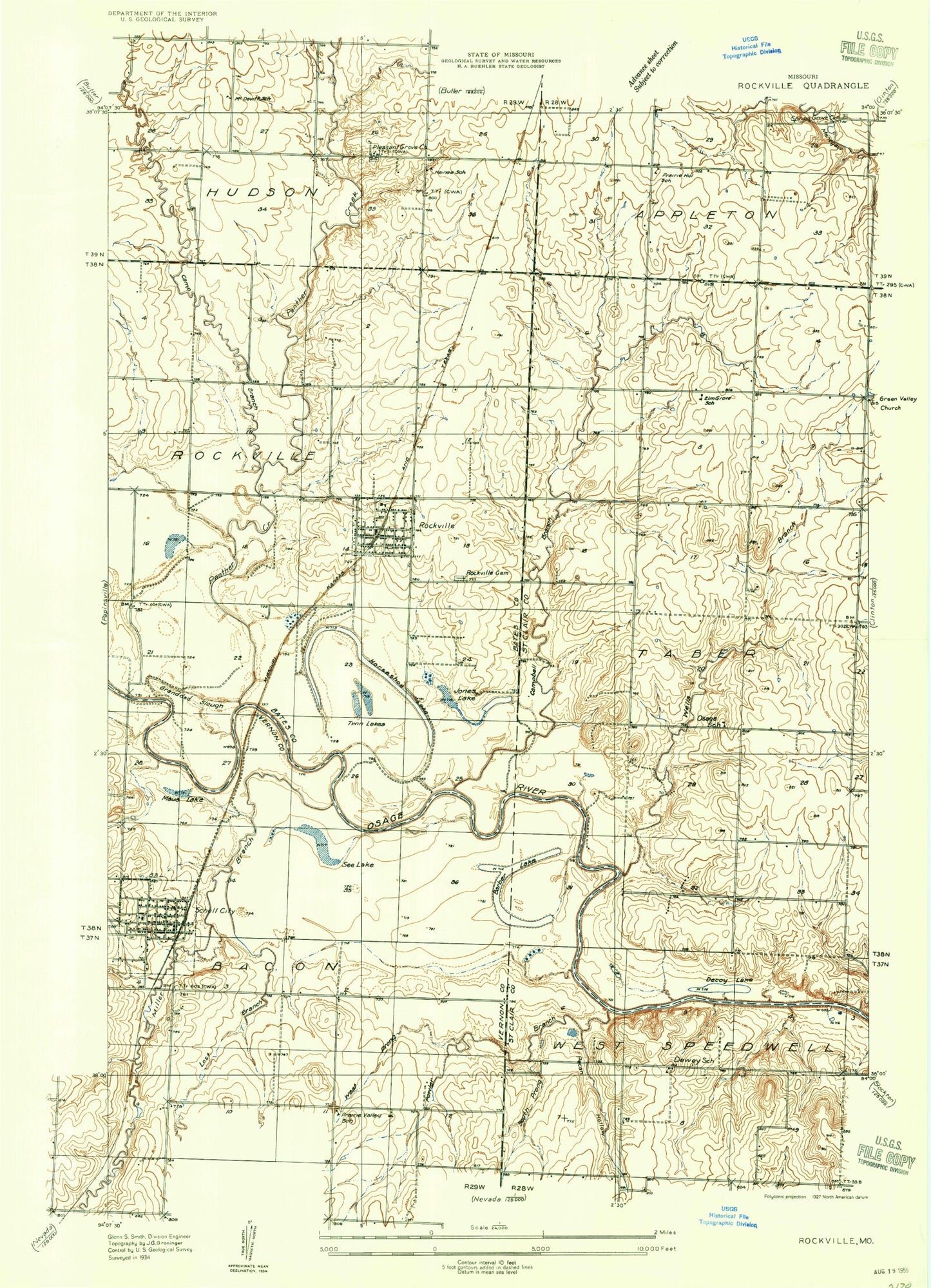
Historical USGS topographic quad map of Rockville in the state of Missouri. Map scale may vary for some years, but is generally around 1:24,000. Print size is approximately 24" x 27"
This quadrangle is in the following counties: Bates, St. Clair, Vernon.
The map contains contour lines, roads, rivers, towns, and lakes. Printed on high-quality waterproof paper with UV fade-resistant inks, and shipped rolled.
Contains the following named places: Atkinson Lake, Atkinson Lake Dam, Barber Lake, Bell Pond, Camp Branch, Campbell Branch, City of Rockville, City of Schell City, Decoy Lake, Dewey School, Elm Grove School, Fowler Branch, Granddad Slough, Haines School, Heiman Field, Horseshoe Lake, Jones Lake, Levee Number Three Dam, Lost Branch, Maus Lake, Meyer Cemetery, Miller Branch, Mononame 47 Dam, Mononame 78 Dam, Northeast Vernon County R-1 Elementary School, Old Folks Pond, Osage School, Panther Creek, Pecan Hollow, Pleasant Grove Church, Prairie Hill School, Roberts Lake, Roberts Lake Dam, Rockville, Rockville Cemetery, Rockville Community Fire Department, Rockville Post Office, Rockville School, Schell City, Schell City Post Office, Schell City Volunteer Fire Department, Schell Lake, Schell-Osage Reservoir Number 2, Schell-Osage Wildlife Area, See Lake, Shaw Pond, Spring Grove Cemetery, Township of Rockville, Township of Taber, Twin Lakes, Wells Branch, West Prong Fowler Branch, ZIP Codes: 64780, 64783


