MyTopo
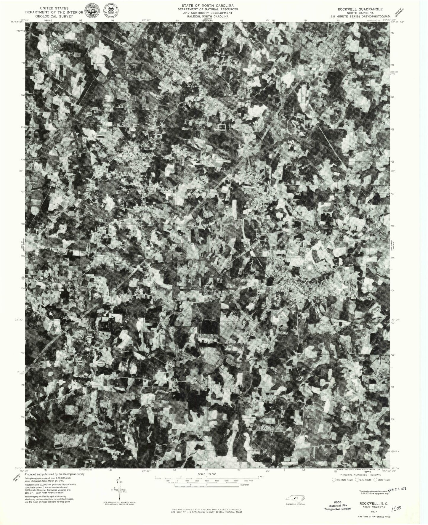
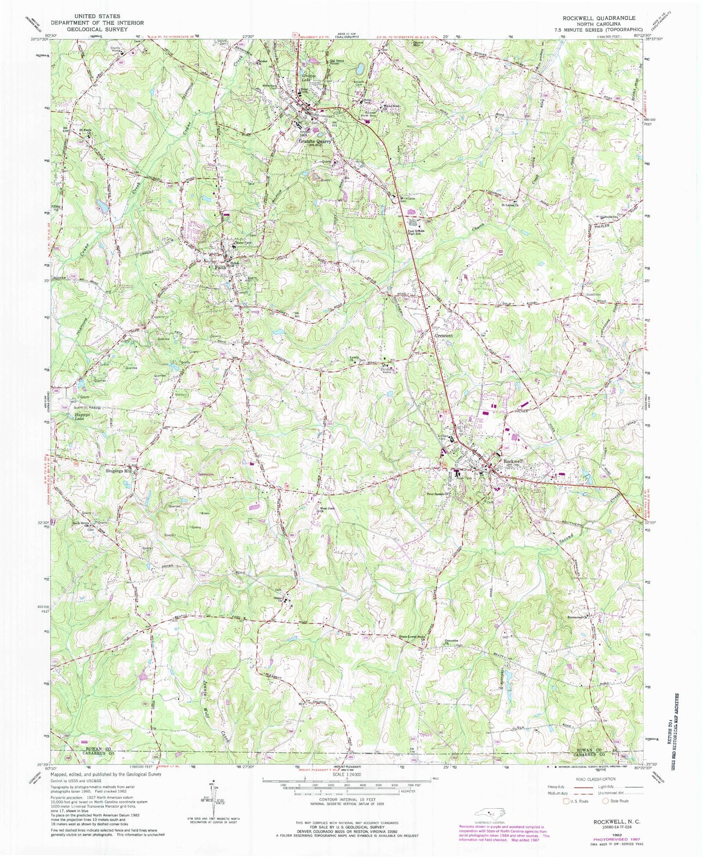
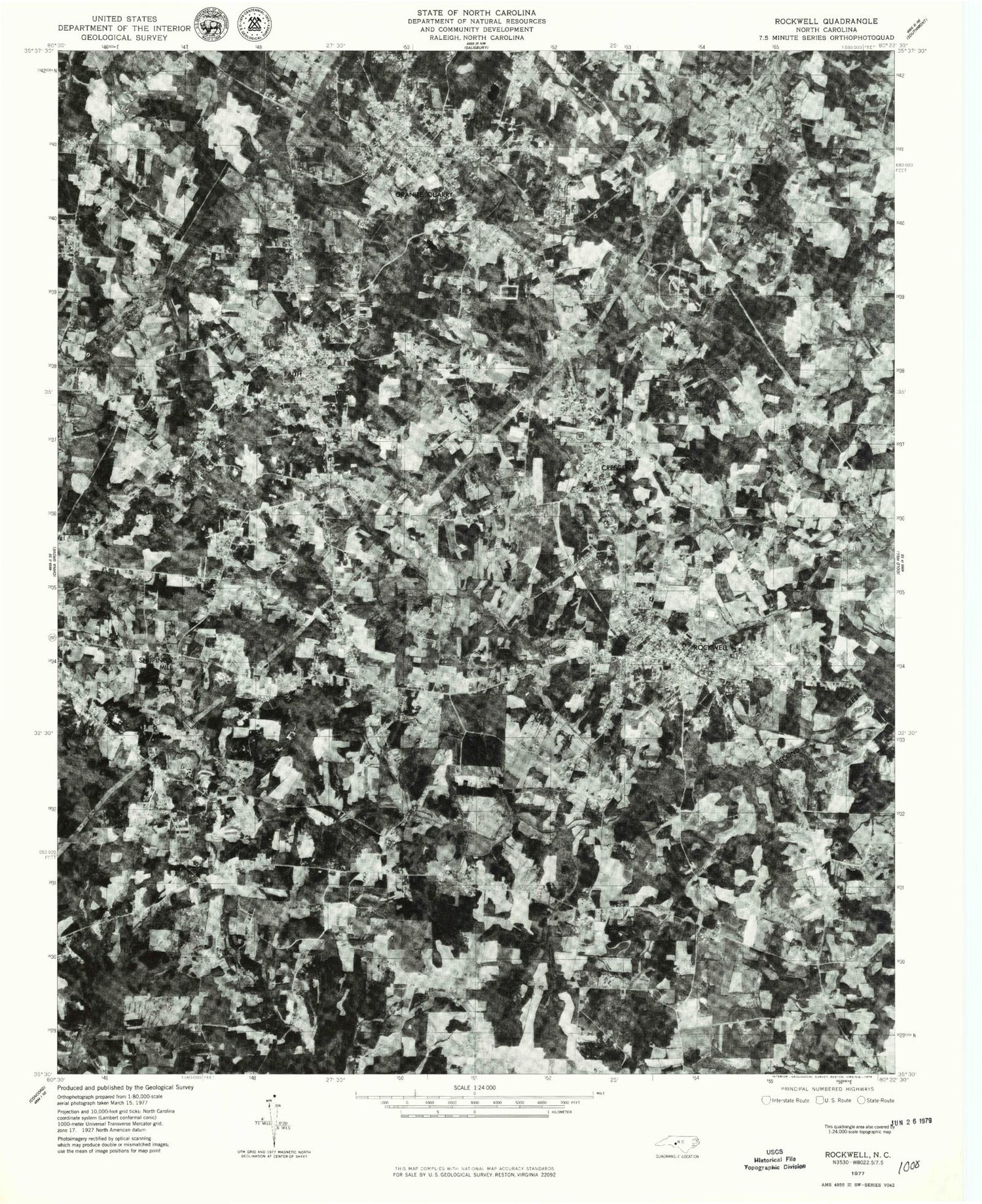
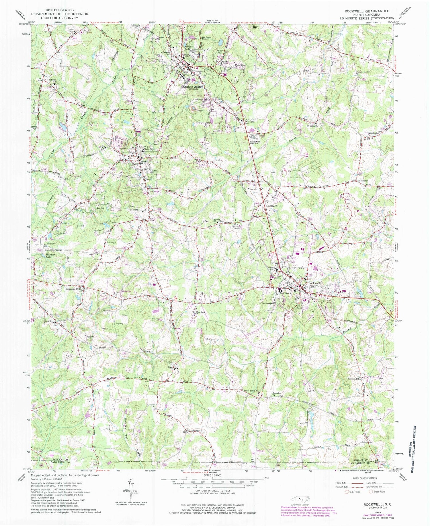
Classic USGS Rockwell North Carolina 7.5'x7.5' Topo Map
Couldn't load pickup availability
Historical USGS topographic quad map of Rockwell in the state of North Carolina. Map scale may vary for some years, but is generally around 1:24,000. Print size is approximately 24" x 27"
This quadrangle is in the following counties: Cabarrus, Rowan.
The map contains contour lines, roads, rivers, towns, and lakes. Printed on high-quality waterproof paper with UV fade-resistant inks, and shipped rolled.
Contains the following named places: Antioch Cemetery, Canaan Church, Christiana Cemetery, Concorice Church, Correll Park, Crescent, East Rowan High School, Eastside Church, Emmanuel Church, Erwin Junior High School, Faith, Faith Elementary School, Faith Fire Department, Faith Post Office, Four Square Church, Garfield, Grace-Lower Stone Church, Granite Lake, Granite Quarry, Granite Quarry Elementary School, Granite Quarry Fire Department, Granite Quarry Post Office, Happys Lake, Herman Quarry, Kluns Creek, Lyerly Church, North Barringer, Old Stone House, Organ Church, Pink Star Quarry, Rendleman, Rock Grove Church, Rockwell, Rockwell City Fire Department, Rockwell Elementary School, Rockwell Police Department, Rockwell Post Office, Rockwell Rural Volunteer Fire Department Station 71, Rowan County Emergency Services, Saint Lukes Church, Saint Pauls Church, Shiloh Cemetery, Shiloh Church, Shupings Mill, South Salisbury Volunteer Fire Department Station 74, Timbercreek, Town of Faith, Town of Granite Quarry, Town of Rockwell, Township of Gold Hill, Township of Litaker, West Park Church, White Rock Church, Wittenberg Cemetery, ZIP Codes: 28072, 28138, 28146


