MyTopo
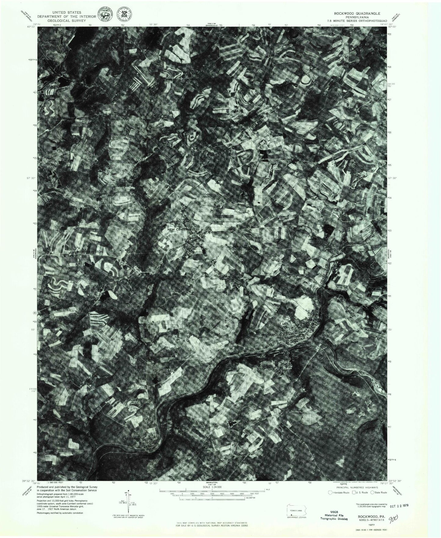
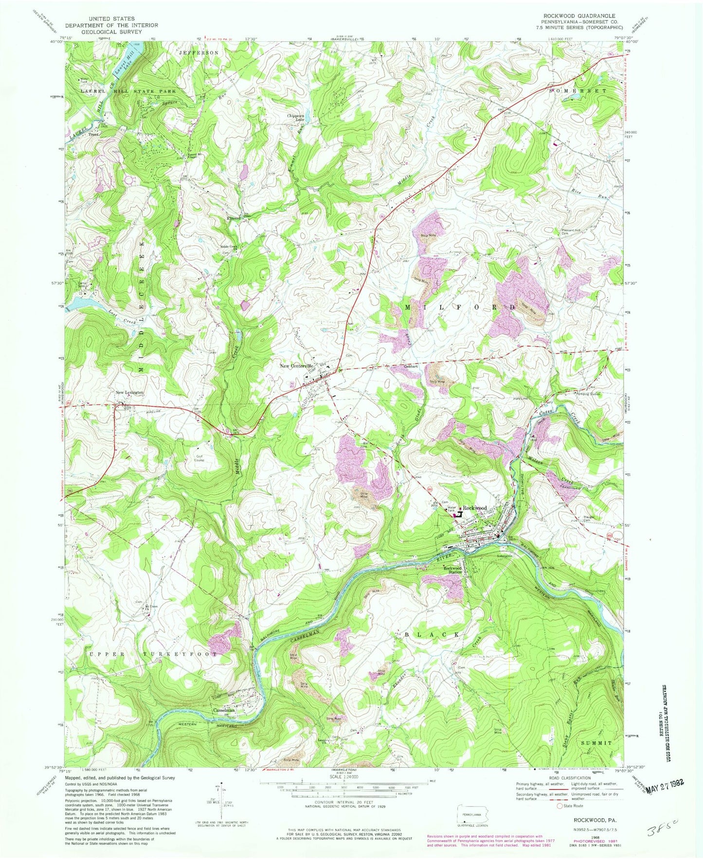
Classic USGS Rockwood Pennsylvania 7.5'x7.5' Topo Map
Couldn't load pickup availability
Historical USGS topographic quad map of Rockwood in the state of Pennsylvania. Map scale may vary for some years, but is generally around 1:24,000. Print size is approximately 24" x 27"
This quadrangle is in the following counties: Somerset.
The map contains contour lines, roads, rivers, towns, and lakes. Printed on high-quality waterproof paper with UV fade-resistant inks, and shipped rolled.
Contains the following named places: Barklie School, Borough of Casselman, Borough of New Centerville, Borough of Rockwood, Bruner Run, Camp Soles, Casselman, Chippewa Lake, Coxes Creek, Gebhart, Hays School, Kimmel, Kimmel Run, Laurel Church, Laurel Hill Lake, Laurel Hill Lake Dam, Laurel Mount Chapel, Lost Creek Dam, Marker School, Middle Creek, Middle Creek Church, Middlecreek Golf Course, Milford Church, Mount Union Church, Mount Union School, New Centerville, New Centerville and Rural Volunteer Fire Company - Station 622, New Lexington, Pleasant Hill Brethren Cemetery, Pleasant Hill School, Rhoades Creek, Rhoades School, Rockwood, Rockwood Borough Police Department, Rockwood Fire Department - Station 623, Rockwood Junction Station, Rockwood Post Office, Rockwood Station, Sayler Airport, Shaft School, South Glade Creek, Spruce Run, Stony Batter Run, Township of Black, Township of Milford, Trent, Triss Lake, Weimer Run, Weimer School, Wilson Creek, Wilson Creek Station, ZIP Code: 15557


