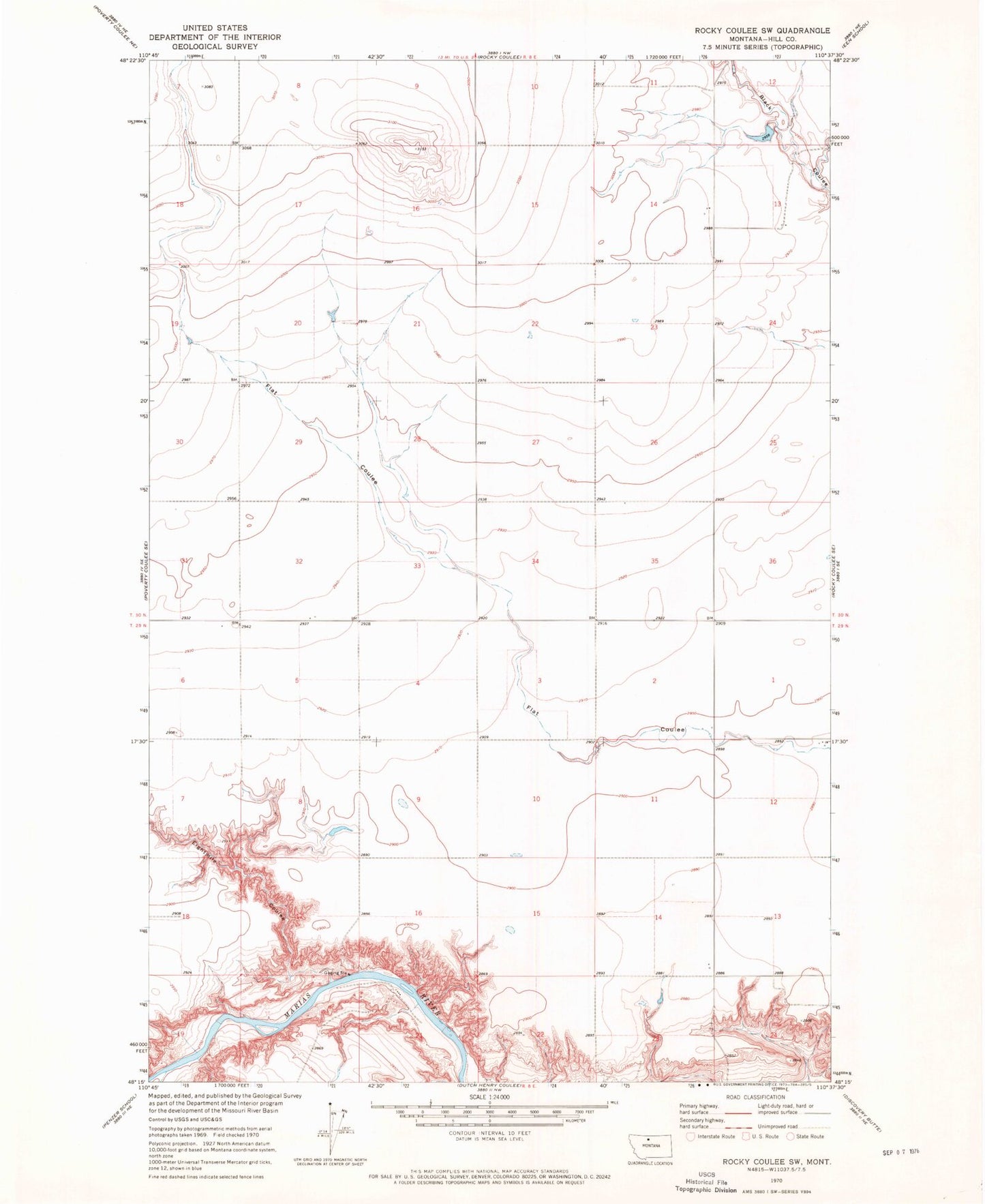
MyTopo
Classic USGS Rocky Coulee SW Montana 7.5'x7.5' Topo Map
Regular price
$16.95
Regular price
Sale price
$16.95
Unit price
per
Couldn't load pickup availability
Historical USGS topographic quad map of Rocky Coulee SW in the state of Montana. Map scale may vary for some years, but is generally around 1:24,000. Print size is approximately 24" x 27"
This quadrangle is in the following counties: Chouteau, Hill.
The map contains contour lines, roads, rivers, towns, and lakes. Printed on high-quality waterproof paper with UV fade-resistant inks, and shipped rolled.
Contains the following named places: 29N08E04AA__01 Well, 29N08E12AAAA01 Well, 30N08E14CABD01 Well, 30N08E32DC__01 Well, Brinkman, Brinkman Post Office, Brinkman School, Eightmile Coulee, Samantha Dam