MyTopo
Classic USGS Rocky Hill California 7.5'x7.5' Topo Map
Couldn't load pickup availability
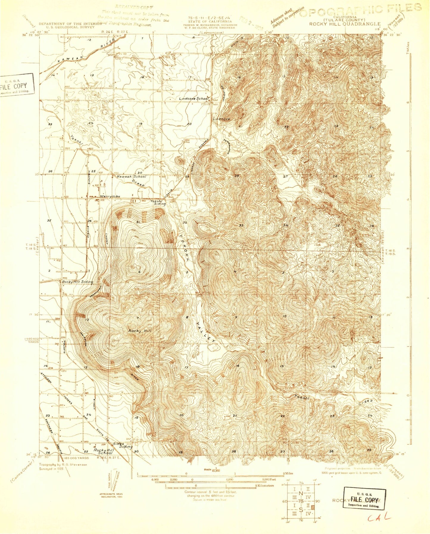
Historical USGS topographic quad map of Rocky Hill in the state of California. Map scale may vary for some years, but is generally around 1:24,000. Print size is approximately 24" x 27"
This quadrangle is in the following counties: Tulare.
The map contains contour lines, roads, rivers, towns, and lakes. Printed on high-quality waterproof paper with UV fade-resistant inks, and shipped rolled.
Contains the following named places: Allen Gap, Allen Hill, Badger Hill, Dahlem Ranch, Dry Creek, Dumtah, Foothill Ditch, Gassenberg Spring, Gill Ranch, Grey Rocks, Hamilton Cemetery, Hamilton Ranch, Kaweah School, Lind Cove School, Lindcove, Lindcove Census Designated Place, Merryman, Monument Hill, Powell Ranch, Rocky Hill, Rocky Hill School, Sides, Tooleville Census Designated Place, Toolville, Yokohl, Yokohl Valley, ZIP Code: 93221