MyTopo
Classic USGS Rocky Lake Strand Florida 7.5'x7.5' Topo Map
Regular price
$16.95
Regular price
Sale price
$16.95
Unit price
per
Couldn't load pickup availability
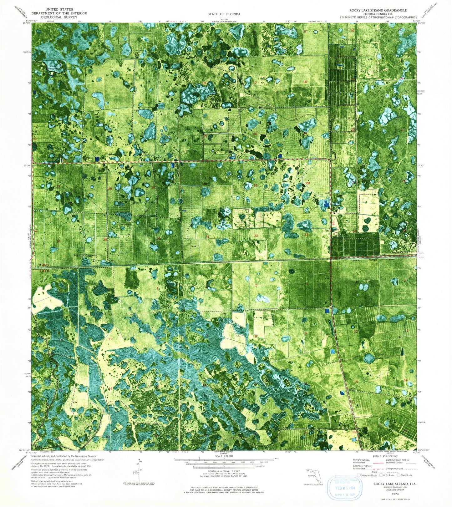
Historical USGS topographic quad map of Rocky Lake Strand in the state of Florida. Map scale may vary for some years, but is generally around 1:24,000. Print size is approximately 24" x 27"
This quadrangle is in the following counties: Hendry.
The map contains contour lines, roads, rivers, towns, and lakes. Printed on high-quality waterproof paper with UV fade-resistant inks, and shipped rolled.
Contains the following named places: Camp Everglades, Clewiston Division, Deer Fence Canal, Devils Garden Strip, McDaniel Ranch Inc Airport, Point of Cypress, Rocky Lake Strand