MyTopo
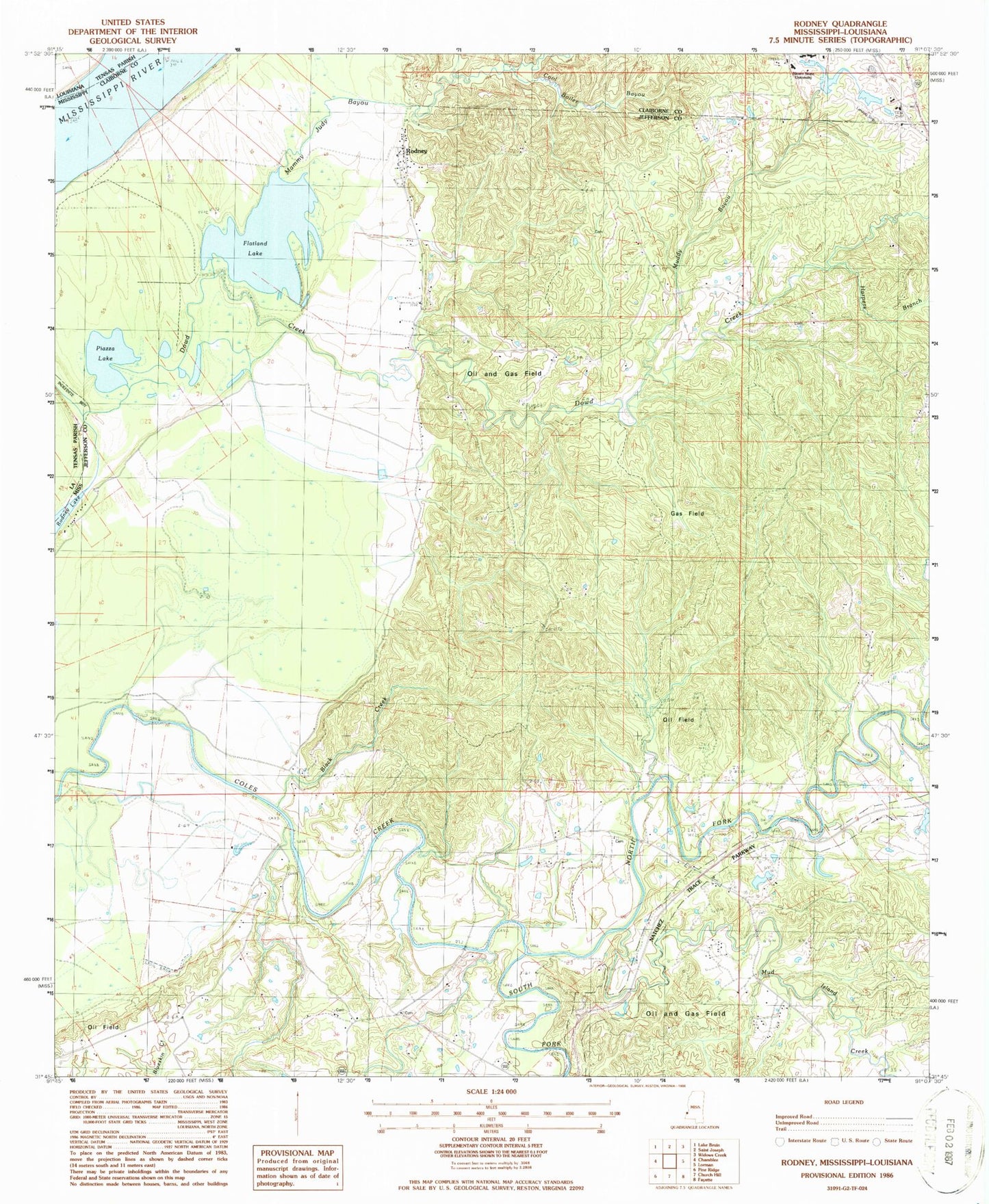
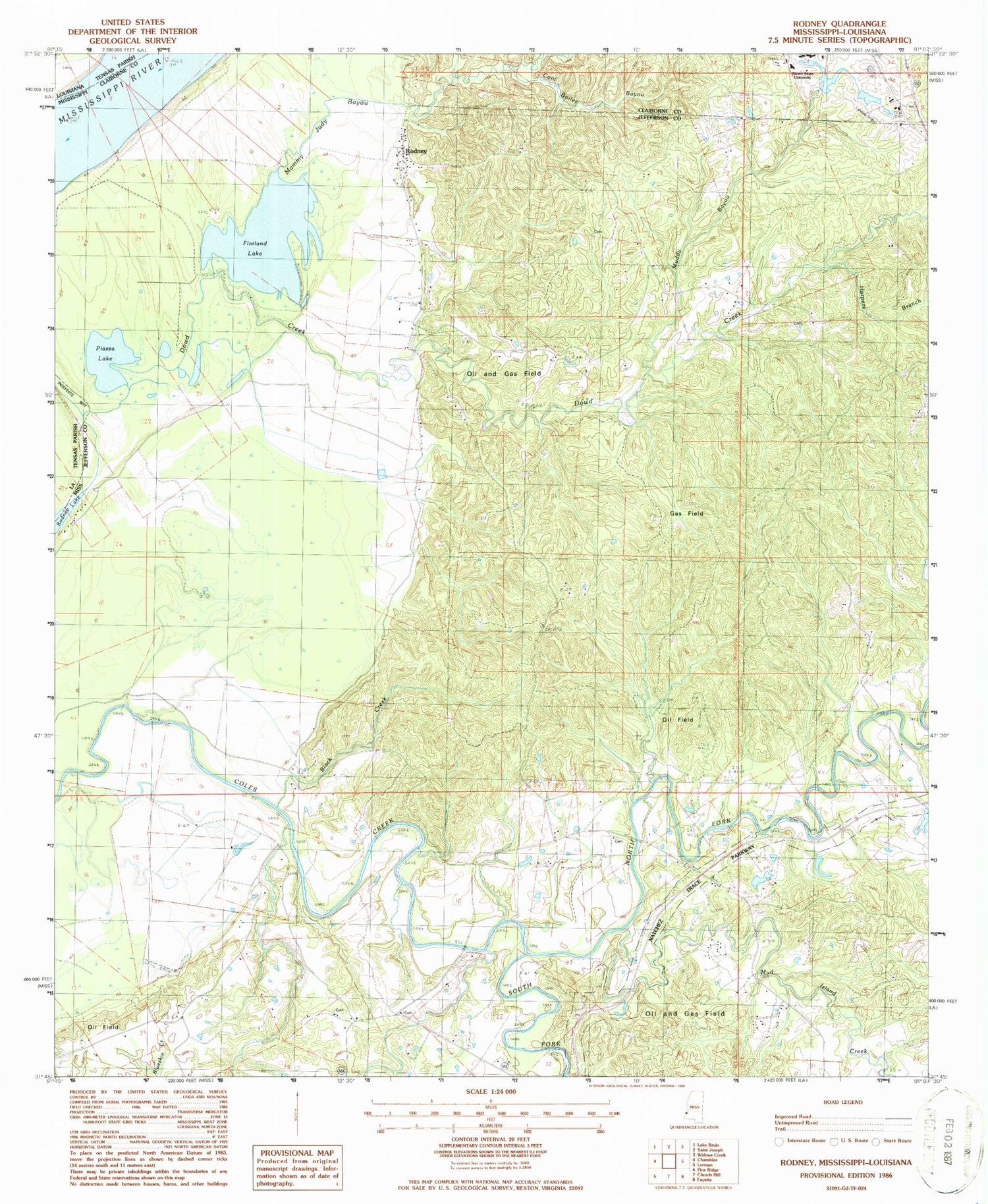
Classic USGS Rodney Mississippi 7.5'x7.5' Topo Map
Couldn't load pickup availability
Historical USGS topographic quad map of Rodney in the state of Mississippi. Typical map scale is 1:24,000, but may vary for certain years, if available. Print size: 24" x 27"
This quadrangle is in the following counties: Claiborne, Jefferson, Tensas.
The map contains contour lines, roads, rivers, towns, and lakes. Printed on high-quality waterproof paper with UV fade-resistant inks, and shipped rolled.
Contains the following named places: Black Creek, Bush Lake, Cool Boiler Bayou, Dowd Creek, Fayette Oil and Gas Field, Flatland Lake, Golden Mount Church, Griffin Cemetery, Harpers Branch, Idlewild Oil Field, Laurel Hill Cemetery, Laurel Hill Church, Logan Cemetery, Mount Israel Church, Mud Island Creek, Muddy Bayou, Noland Hill School, North Fork Coles Creek, Piazza Lake, Richland Church, Rodney, Saint Peter Church, Travelers Rest Church, Alcorn State University Airport (historical), Williams Lake Dam, George Harrell Lake Dam, George Harrell Lake Dam, R R Smith Lake Dam, R R Smith Lake Dam, Alcorn College Lake Dam, Alcorn College Lake Dam, Alcorn College Lake Dam, Calvits Lake, Dobyns Bridge (historical), Huntley (historical), Old Mount Zion Church (historical), Old Rodney Presbyterian Church, Rodney Baptist Church, Rodney Landing, Rodney Sacred Heart Catholic Church, Rodney School (historical), Southside Plantation (historical), Uniontown (historical), Laurel Hill Plantation (historical), Miller School (historical), Brownland Oil Field, North Fayette Oil Field, Rodney Island Oil Field, Rodney Oil Field, Mammy Judy Bayou, South Fork Coles Creek, Gum Ridge (historical), Ihrie (historical), Rodney Baptist Church Cemetery, Supervisor District 5


