MyTopo
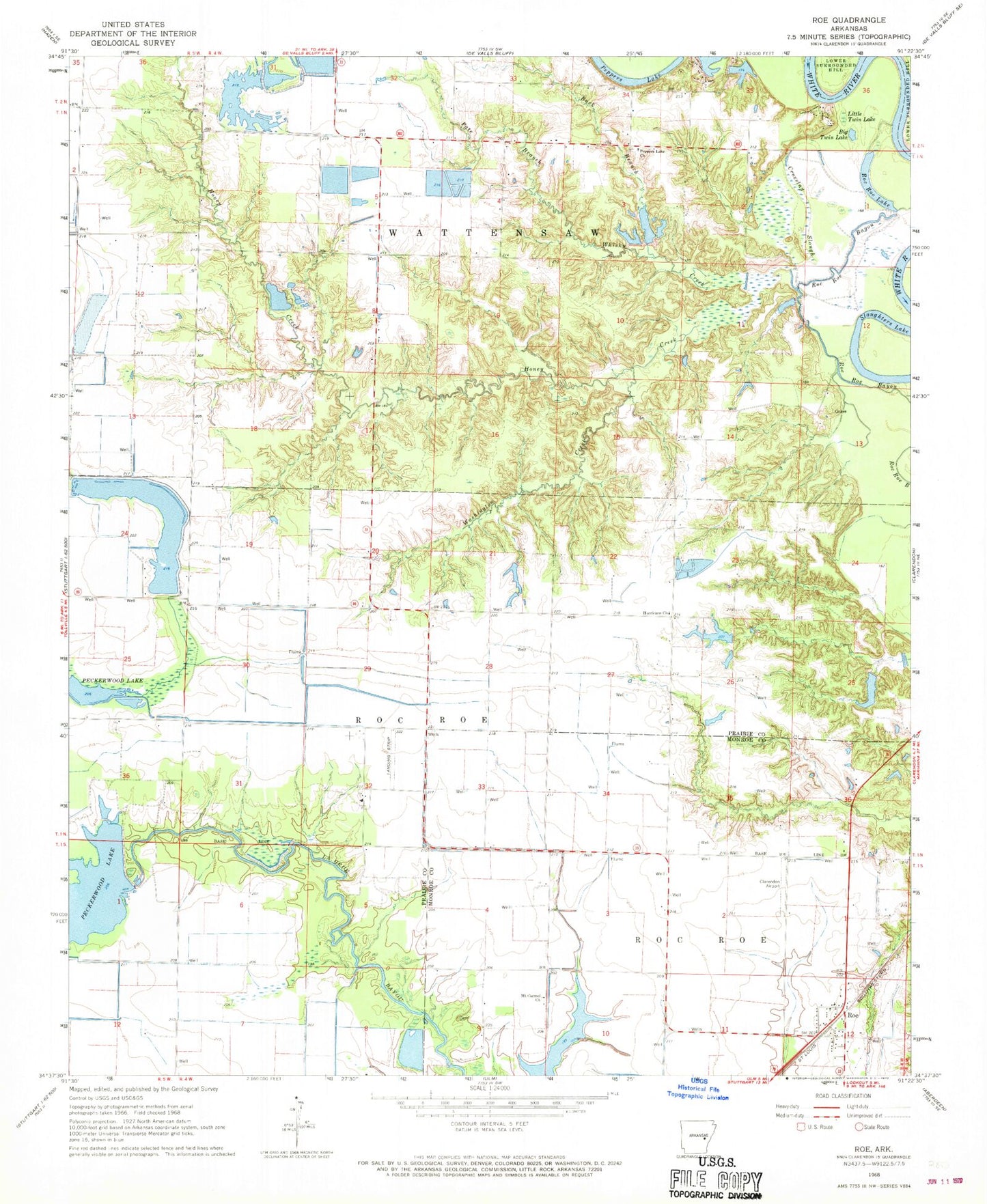
Classic USGS Roe Arkansas 7.5'x7.5' Topo Map
Couldn't load pickup availability
Historical USGS topographic quad map of Roe in the state of Arkansas. Typical map scale is 1:24,000, but may vary for certain years, if available. Print size: 24" x 27"
This quadrangle is in the following counties: Monroe, Prairie.
The map contains contour lines, roads, rivers, towns, and lakes. Printed on high-quality waterproof paper with UV fade-resistant inks, and shipped rolled.
Contains the following named places: Buck Branch, Crosslay Slough, Honey Creek, Hurricane Church, Mount Carmel Church, Pate Branch, Washington Creek, Roe, Wing Meade Reservoir, Vaby, Peppers Lake, Pleasant Home Cemetery, Wolf Bend, Hilderbrand Bend, Peppers Eddy, Peppers Landing, Township of Roc Roe, Peppers Lake, Roc Roe Lake, Slaughters Lake, Big Twin Lake, Little Twin Lake, Peppers Lake Church, Whisky Creek, Peckerwood Lake Dam, Arkansas Noname 131 Dam, Whiskey Creek Reservoir, Strohl Reservoir Dam, Arkansas Noname 149 Dam, Newkirks Reservoir Number 1, Arkansas Noname 133 Dam, Newkirks Reservoir Number 2, McCollum Lake, Clarendon Municipal Airport, Peppers Lake Fire Department, Roc Roe Volunteer Fire Department, Town of Roe, Roe Post Office


