MyTopo
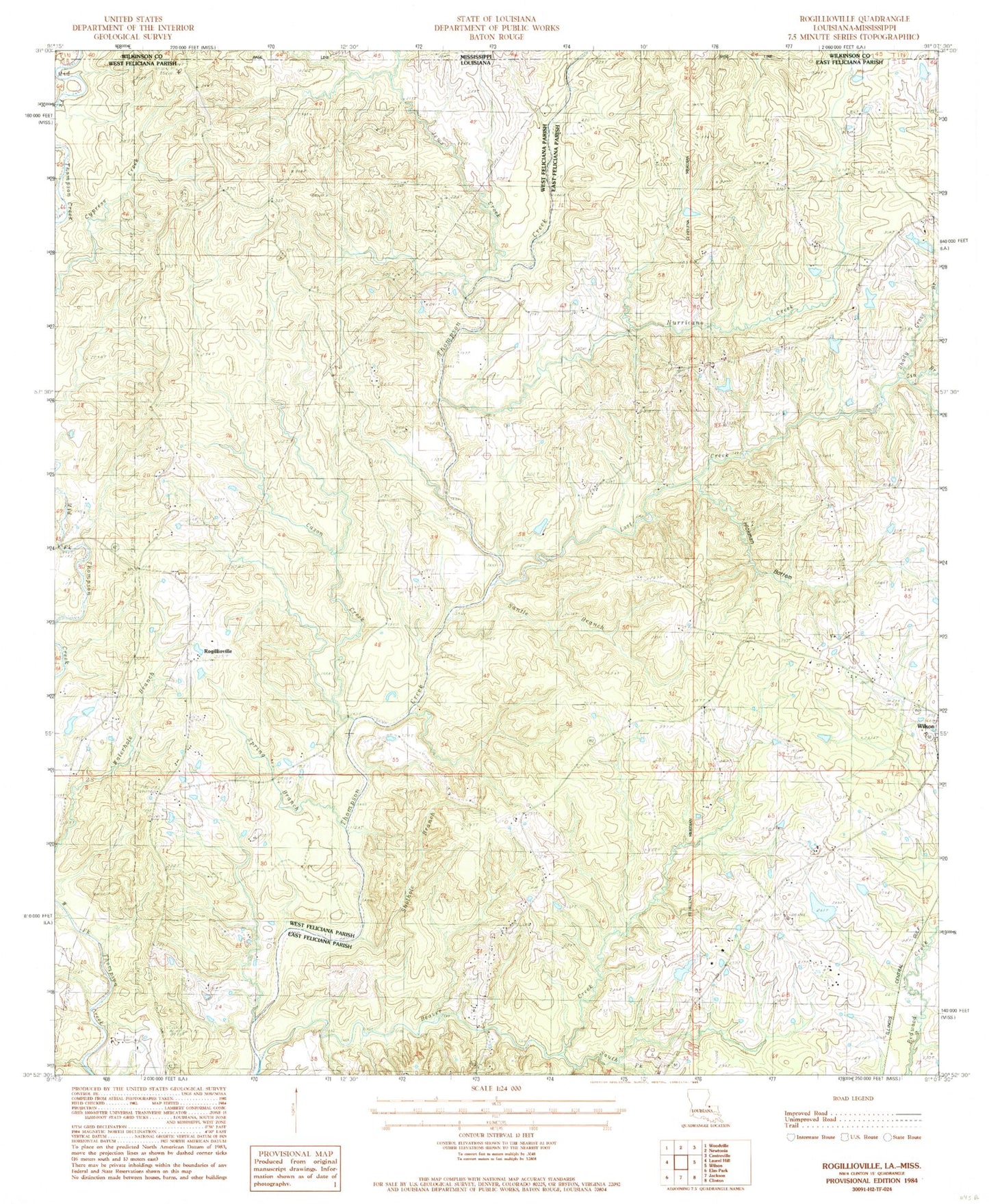
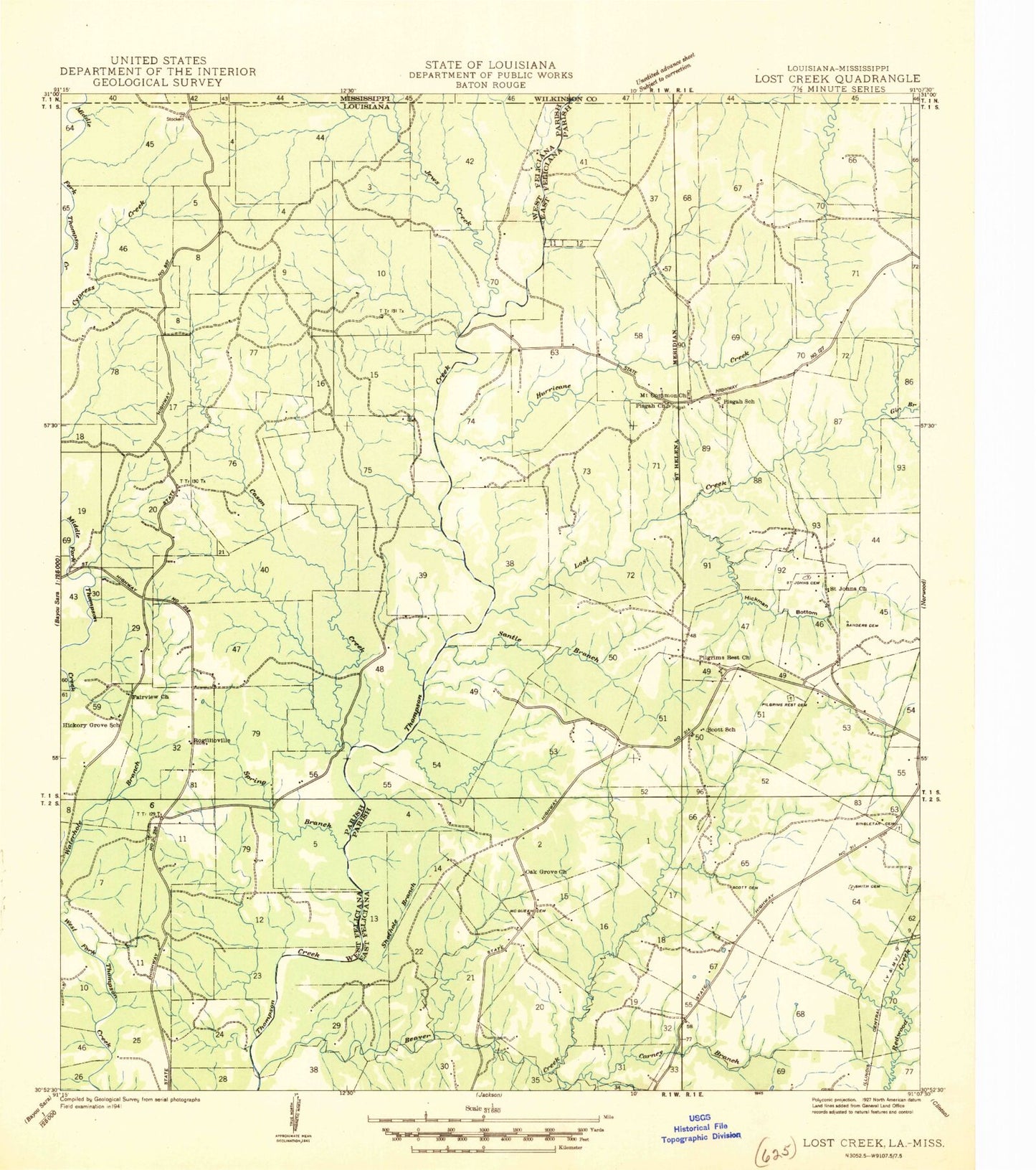
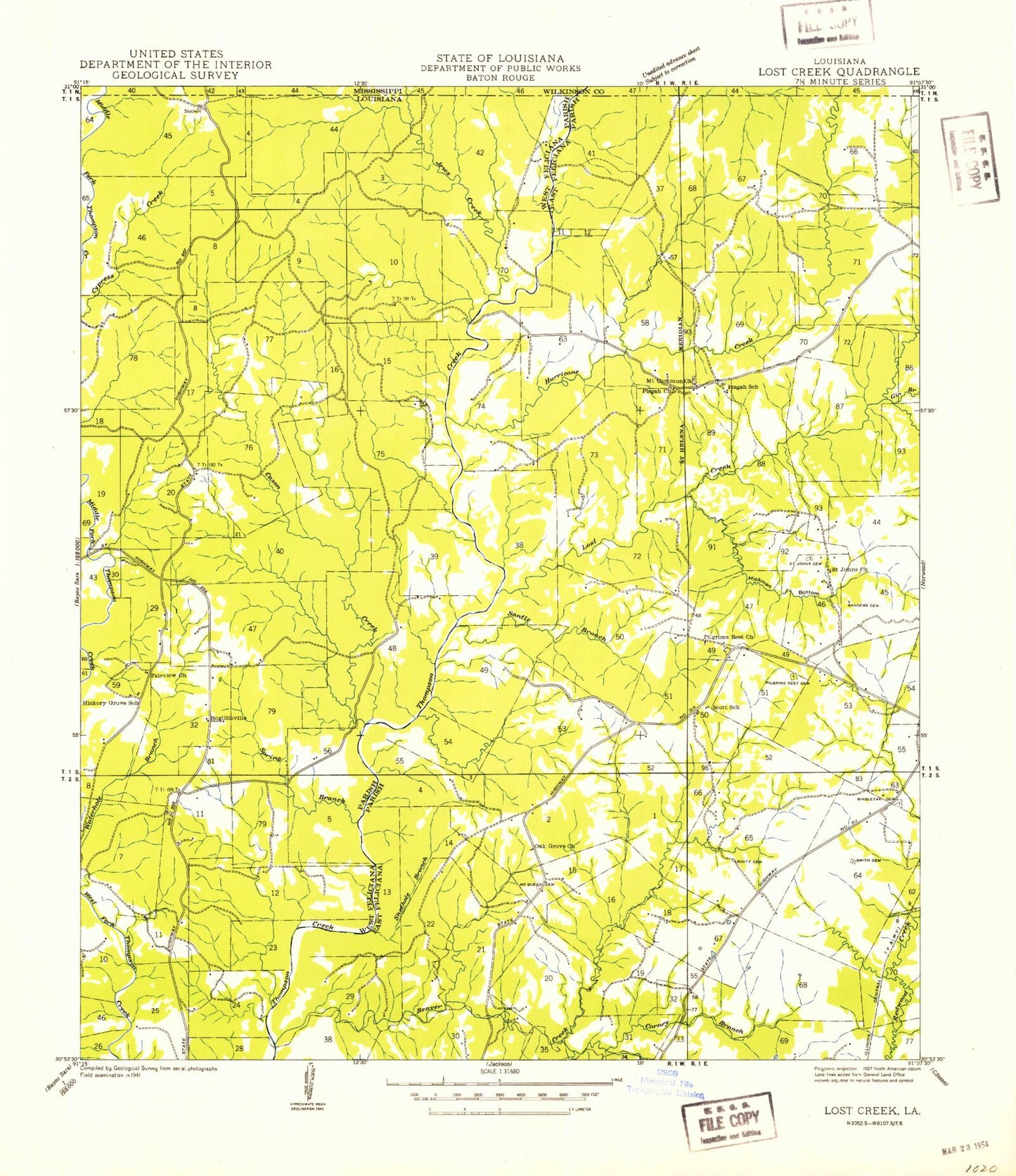
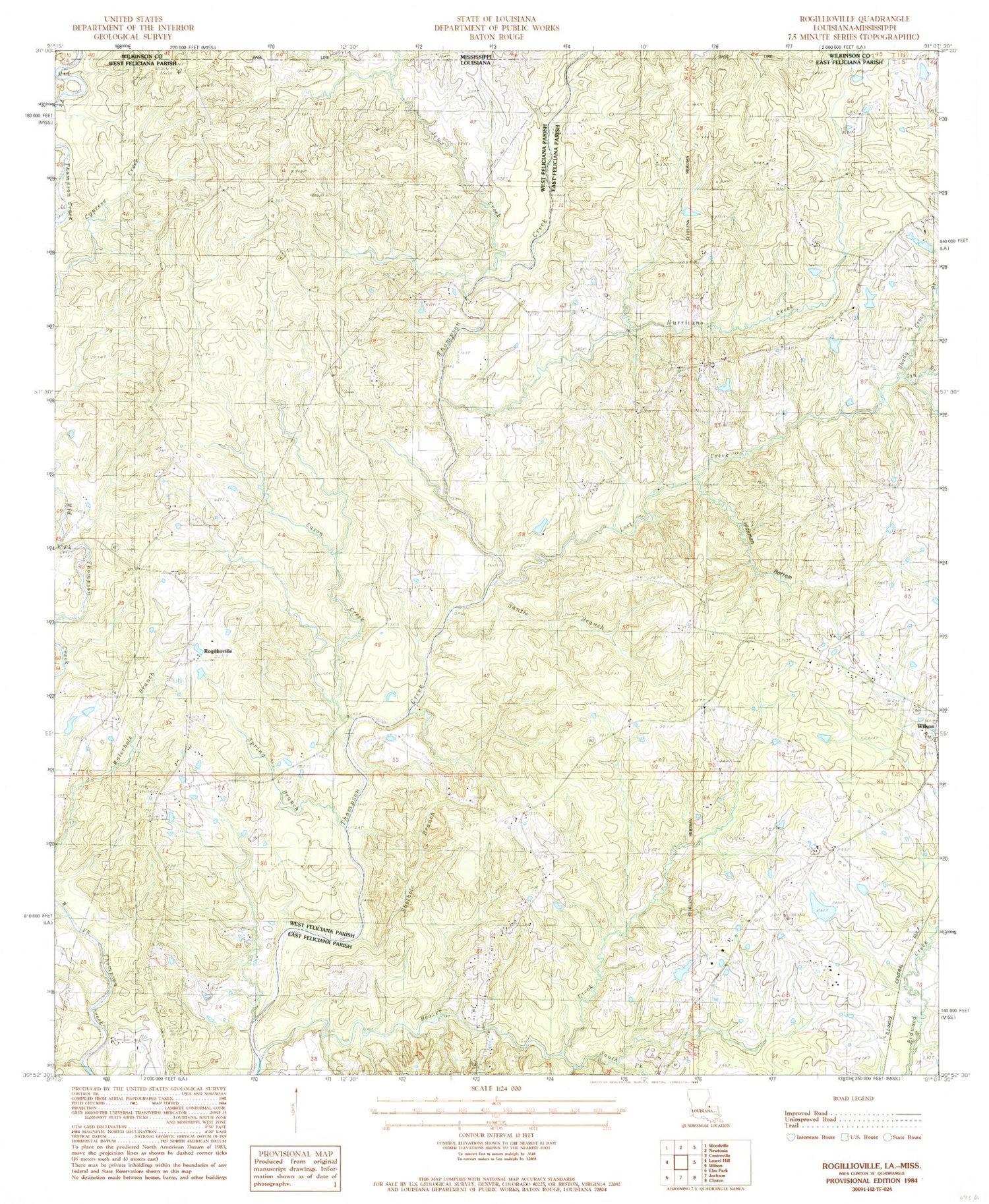
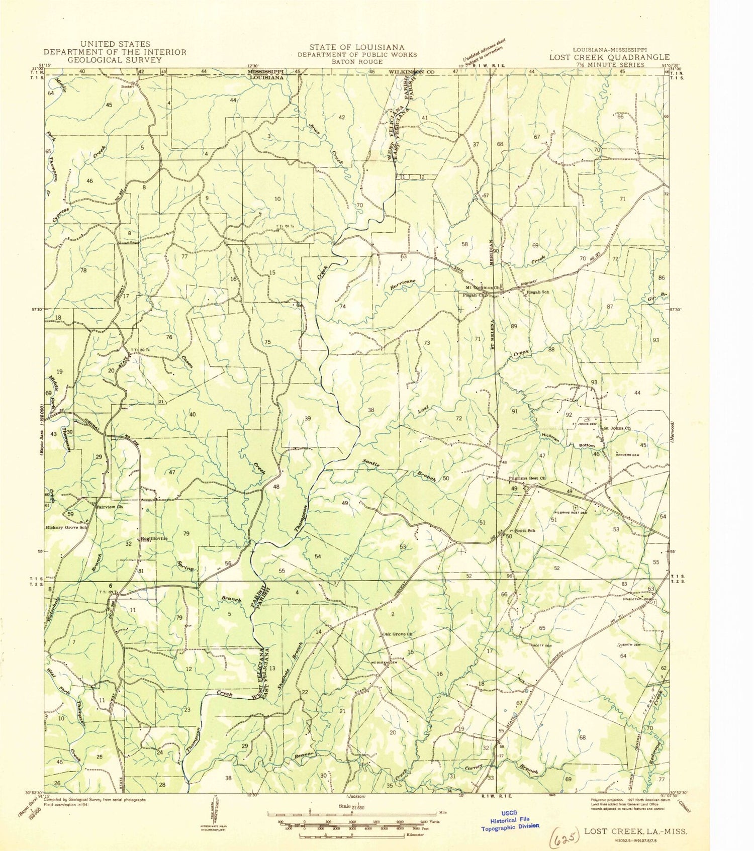
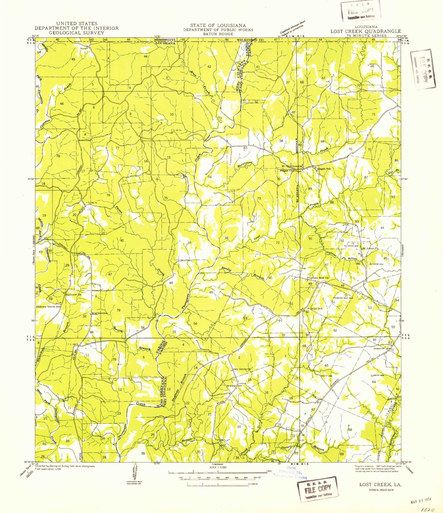
Classic USGS Rogillioville Louisiana 7.5'x7.5' Topo Map
Couldn't load pickup availability
Historical USGS topographic quad map of Rogillioville in the state of Louisiana. Map scale may vary for some years, but is generally around 1:24,000. Print size is approximately 24" x 27"
This quadrangle is in the following counties: East Feliciana, West Feliciana, Wilkinson.
The map contains contour lines, roads, rivers, towns, and lakes. Printed on high-quality waterproof paper with UV fade-resistant inks, and shipped rolled.
Contains the following named places: Beaver Creek, Cason Creek, Cockerham Lake Dam, Concord Church, Dawson Branch, East Fork Beaver Dam Creek, Gin Branch, Hickman Bottom, Hickory Grove Church, Hickory Hill Plantation, Hurricane Creek, Jews Creek, Lost Creek, McQueen Cemetery, Mount Common Church, Mount Common Church Gas Field, Mount Pisgah Christian Methodist Episcopal Church Cemetery, Oakgrove Church, Parish Governing Authority District 3, Pilgrim Rest Baptist Church, Pilgrim Rest Missionary Baptist Church Cemetery, Pilgrims Rest Church, Rogillioville, Saint Johns Cemetery, Saint Paul Missionary Baptist Church, Sandel Cemetery, Santle Branch, Scott Cemetery, Shady Grove Branch, Shothole Branch, Singletar Cemetery, Smith Cemetery, South Fork Beaver Creek, Spring Branch, Sydal Acres Airport, The Shades Plantation, Thom Creek, Thompson Creek Oil Field, Trinity Baptist Church, Ward Five, Wayside, Westerfield Lake Dam
