MyTopo
Classic USGS Rogue River Oregon 7.5'x7.5' Topo Map
Couldn't load pickup availability
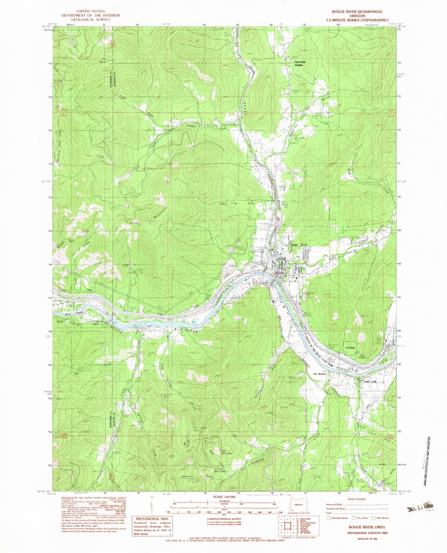
Historical USGS topographic quad map of Rogue River in the state of Oregon. Map scale may vary for some years, but is generally around 1:24,000. Print size is approximately 24" x 27"
This quadrangle is in the following counties: Jackson, Josephine.
The map contains contour lines, roads, rivers, towns, and lakes. Printed on high-quality waterproof paper with UV fade-resistant inks, and shipped rolled.
Contains the following named places: Anna Classick Bicentennial Park, Bear Gulch, Bee Creek, Big Bald Spot, Birdseye Creek, Bolt Post Office, Boyd Creek, Briar Gulch, Buena, City of Rogue River, Cold Springs Creek, Cold Springs Reservoir, Colvig, Coyote Evans Wayside, Coyote Evans Wayside City Boat Ramp, Evans Creek, Evans Creek Lateral, Fall Creek, Fielder Creek, Fielder Mountain, Fleming Memorial Park, Foots Cemetery, Foots Creek, Foots Creek Census Designated Place, Foots Creek Chapel, Foots Creek Post Office, Fort Birdseye, Gold Gulch, Gold River Post Office, Left Fork Birdseye, Left Fork Fielder Creek, Little Bald Spot, Little Savage Creek, Lucy Gulch, Maple Creek, Maple Gulch, Martin Spring, McCollum Reservoir, Millers Gulch, Oak Gulch, Old Baldy, Owl Hollow, Owl Hollow Mine, Palmerton Park, Pearce Riffle Park Boat Ramp, Pierce Riffle County Park, Ponderosa Park, Reservoir Gulch, Right Fork Fielder Creek, Right Fork Foots Creek, River's Edge Academy Charter School, Rogue River, Rogue River Branch Library, Rogue River City Hall, Rogue River Elementary School - East Campus, Rogue River Elementary School - West Campus, Rogue River Junior/Senior High School, Rogue River Municipal Court, Rogue River Police Department, Rogue River Post Office, Rogue River Public Works Department Office, Rogue River Rural Fire Protection District, Rogue River Sewage Treatment Plant, Savage Creek, Savage Rapids, Savage Rapids Boat Ramp, Savage Rapids County Park, Savage Rapids Crossing, Savage Rapids Dam, Schieffelin Gulch, Seaman Bar, Shasta Mine, Smith Reservoir, South Fork Trimble Creek, Starvation Heights, Sugarpine Gulch, Trimble Creek, Turner Spring, Valley of the Rogue State Park, Valley of the Rogue State Park Boat Ramp, Ward Creek, White Spring Branch, Woodville Cemetery, Woodville Museum


