MyTopo
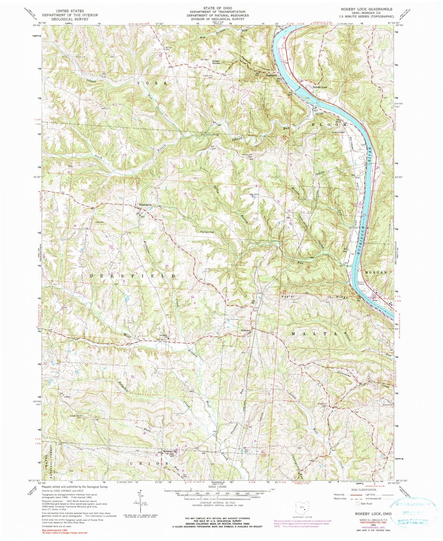
Classic USGS Rokeby Lock Ohio 7.5'x7.5' Topo Map
Couldn't load pickup availability
Historical USGS topographic quad map of Rokeby Lock in the state of Ohio. Map scale may vary for some years, but is generally around 1:24,000. Print size is approximately 24" x 27"
This quadrangle is in the following counties: Morgan.
The map contains contour lines, roads, rivers, towns, and lakes. Printed on high-quality waterproof paper with UV fade-resistant inks, and shipped rolled.
Contains the following named places: Albright Cemetery, Albright Church, Anderson Cemetery, Big Bottom Run, Brick School, Chaneyville School, Coopershop Hollow, Deerfield Cemetery, Deerfield Presbyterian Church, Dutch Hill Cemetery, Dutch Hill School, Eagleport, Eagleport Methodist Church, Eagleport Post Office, Ebenezer Mennonite Church, Green Knobs, Halls Valley, Halls Valley Post Office, Hedgehog Creek, Helmic Bridge, Island Run, Joetown, Kickapoo Creek, Lemon Hill Cemetery, Lemon Hill School, Lemon Hill United Brethren Church, Locust Grove Cemetery, Locust Grove Methodist Church, Moores Run, Morgan Meadows Mobile Home Park, Morgansville Post Office, Morganville, Muskingum River Lock and Dam Number, Muskingum River Lock and Dam Number Eight, North Branch Oilspring Run, Oilspring Run, Opossum Hollow, Pleasant Run, Pleasant Valley Church, Poplar Ridge, Poplar Ridge School, Risen Cemetery, Rokeby Lock, Rokeby Lock Post Office, Shawnee Junction, Solomon Evangelical Lutheran Church, South Branch Island Run, Township of Deerfield, Township of Malta, Triadelphia, Triadelphia Church of Christ, Triadelphia Methodist Church, Triadelphia Post Office, Triadelphia School, Weitzel School, Wiseman Cemetery, ZIP Code: 43758


