MyTopo
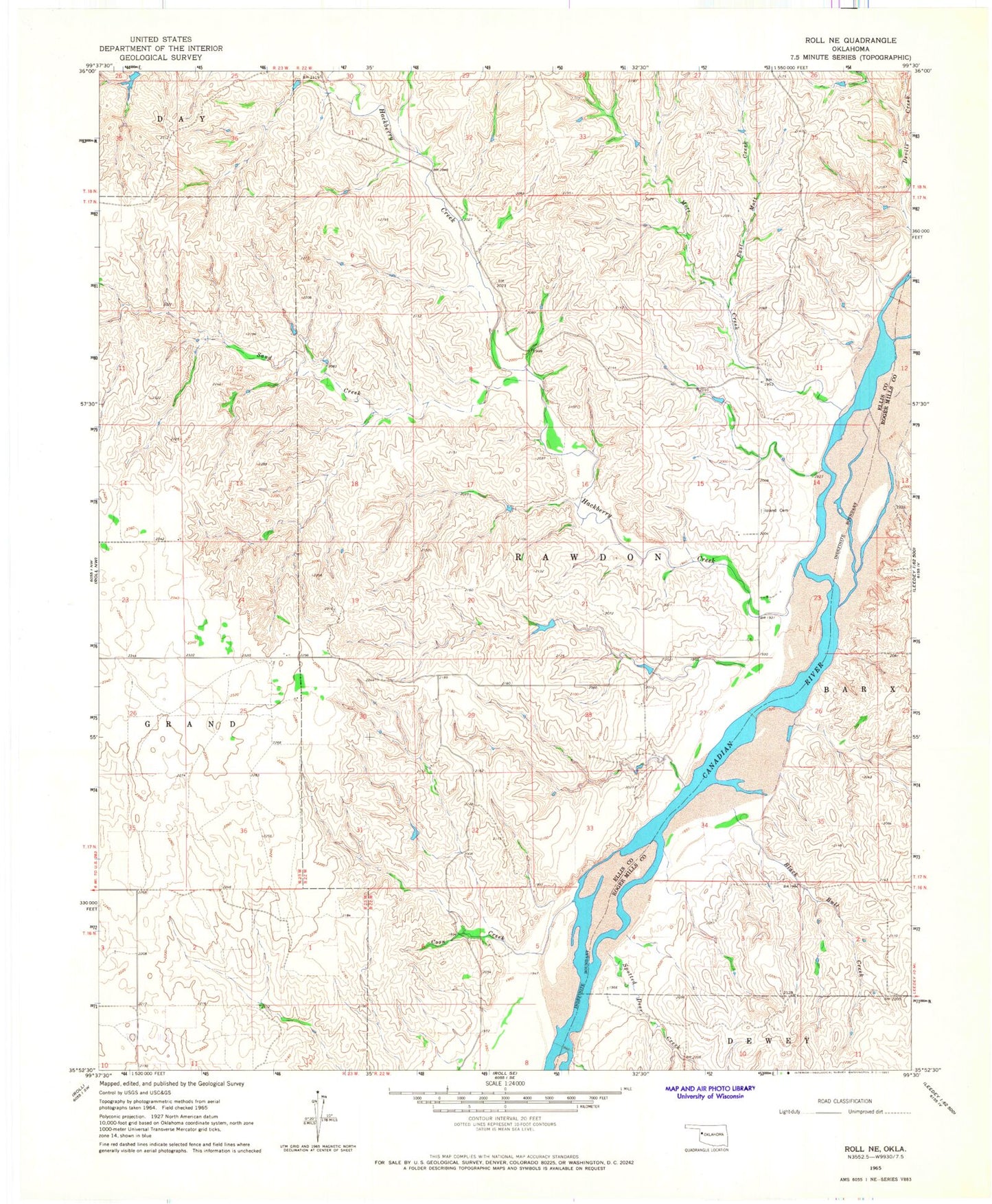
Classic USGS Roll NE Oklahoma 7.5'x7.5' Topo Map
Couldn't load pickup availability
Historical USGS topographic quad map of Roll NE in the state of Oklahoma. Map scale may vary for some years, but is generally around 1:24,000. Print size is approximately 24" x 27"
This quadrangle is in the following counties: Ellis, Roger Mills.
The map contains contour lines, roads, rivers, towns, and lakes. Printed on high-quality waterproof paper with UV fade-resistant inks, and shipped rolled.
Contains the following named places: Black Bull Creek, Brown Number 1 Dam, Brown Number 1 Reservoir, Coon Creek, East Mott Creek, Gillespie Number 1 Dam, Gillespie Number 1 Reservoir, Hackberry Creek, Ioland, Ioland Cemetery, Mott Creek, Nuttal Number 1 Dam, Nuttal Number 1 Reservoir, Sand Creek, Spotted Deer Creek, Township of Rawdon