MyTopo
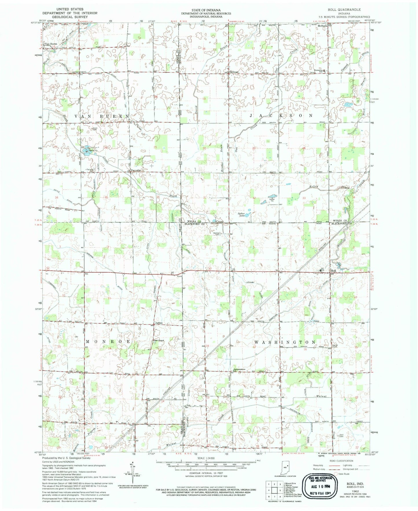
Classic USGS Roll Indiana 7.5'x7.5' Topo Map
Couldn't load pickup availability
Historical USGS topographic quad map of Roll in the state of Indiana. Map scale may vary for some years, but is generally around 1:24,000. Print size is approximately 24" x 27"
This quadrangle is in the following counties: Blackford, Grant, Wells.
The map contains contour lines, roads, rivers, towns, and lakes. Printed on high-quality waterproof paper with UV fade-resistant inks, and shipped rolled.
Contains the following named places: Balsley Cemetery, Bricker Drain, Casterline Forkner Ditch, Center Cemetery, Dillman, Doyle Cemetery, Doyle Ditch, Doyle Ferguson, Enoch Lee Ditch, Farrville, Farrville Cemetery, Ferguson Ditch, Gillespie Ditch, Greenlee Ditch, Hodson Ditch, Independence Church, Jadden, Kelley Drain, Kelly Ditch, Lee Farms Airport, Lemuel Ditch, Maddox Ditch, McNatts, Oak Chapel, Pond Drain, Roll, Roods Run, Skinner Ditch, Spiker Lake, Stoll Cemetery, Sweetser Improvement Ditch, Thompson Ditch, Township of Jackson, Township of Washington