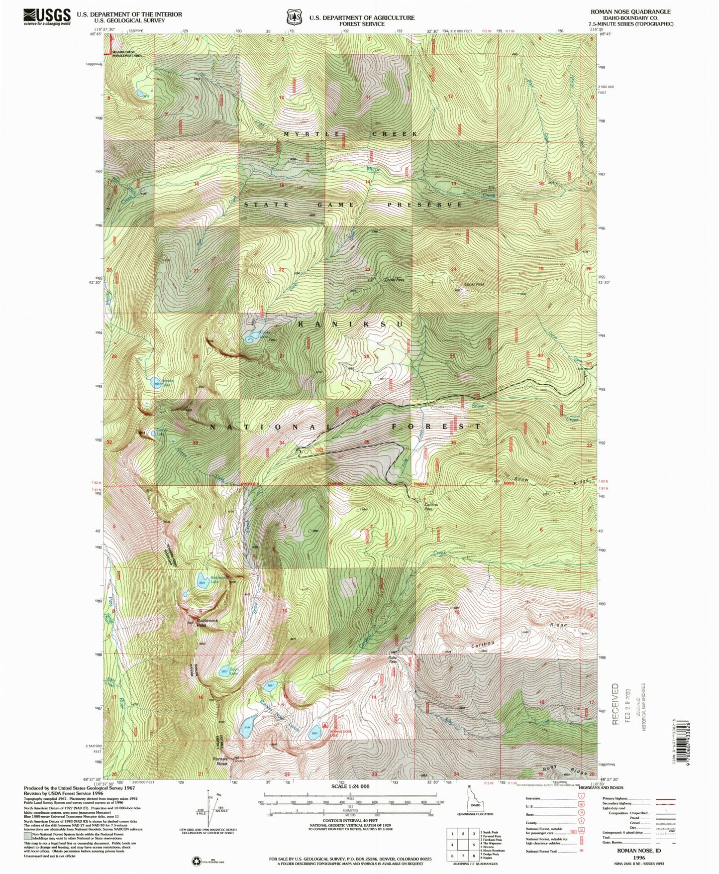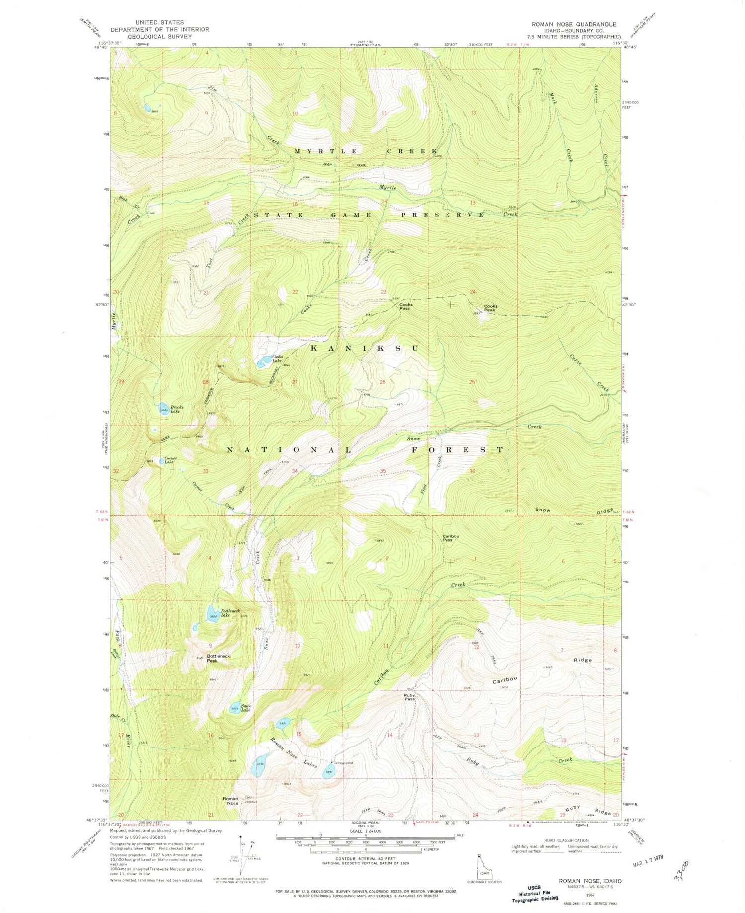
MyTopo
Classic USGS Roman Nose Idaho 7.5'x7.5' Topo Map
Couldn't load pickup availability
Historical USGS topographic quad map of Roman Nose in the state of Idaho. Typical map scale is 1:24,000, but may vary for certain years, if available. Print size: 24" x 27"
This quadrangle is in the following counties: Boundary.
The map contains contour lines, roads, rivers, towns, and lakes. Printed on high-quality waterproof paper with UV fade-resistant inks, and shipped rolled.
Contains the following named places: Adverse Creek, Beehive Creek, Bottleneck Lake, Brooks Lake, Caribou Pass, Cooks Creek, Cooks Lake, Cooks Pass, Corner Creek, Corner Lake, Frost Creek, Jim Creek, Mack Creek, Peak Creek, Roman Nose Lakes, Ruby Pass, Snow Lake, Snow Ridge, Toot Creek, Myrtle Creek Game Preserve, Bottleneck Peak, Cooks Peak, Roman Nose, South and West Boundary Division