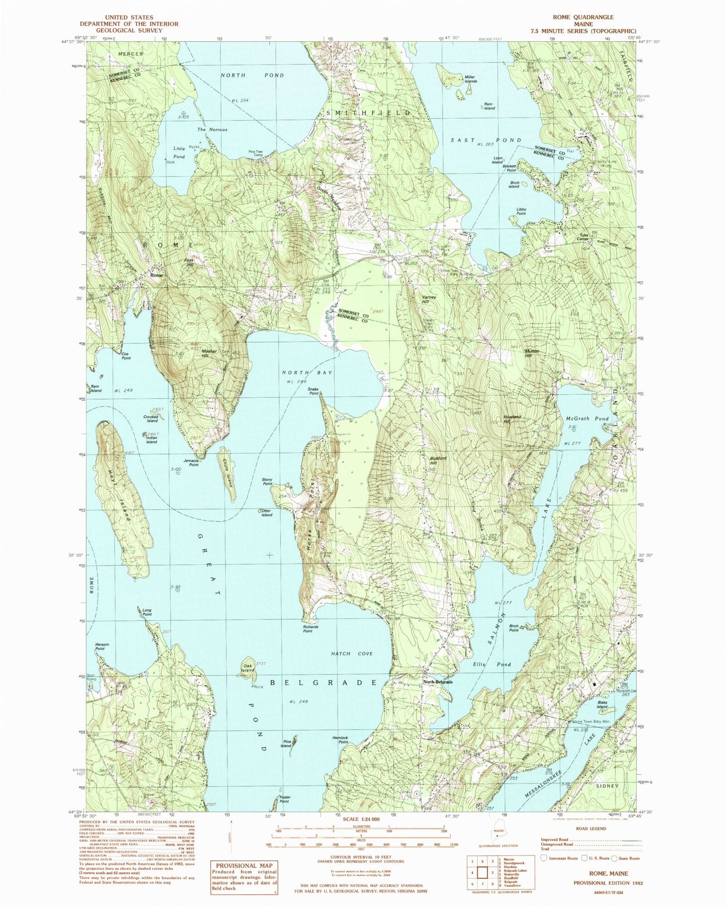
MyTopo
Classic USGS Rome Maine 7.5'x7.5' Topo Map
Couldn't load pickup availability
Historical USGS topographic quad map of Rome in the state of Maine. Typical map scale is 1:24,000, but may vary for certain years, if available. Print size: 24" x 27"
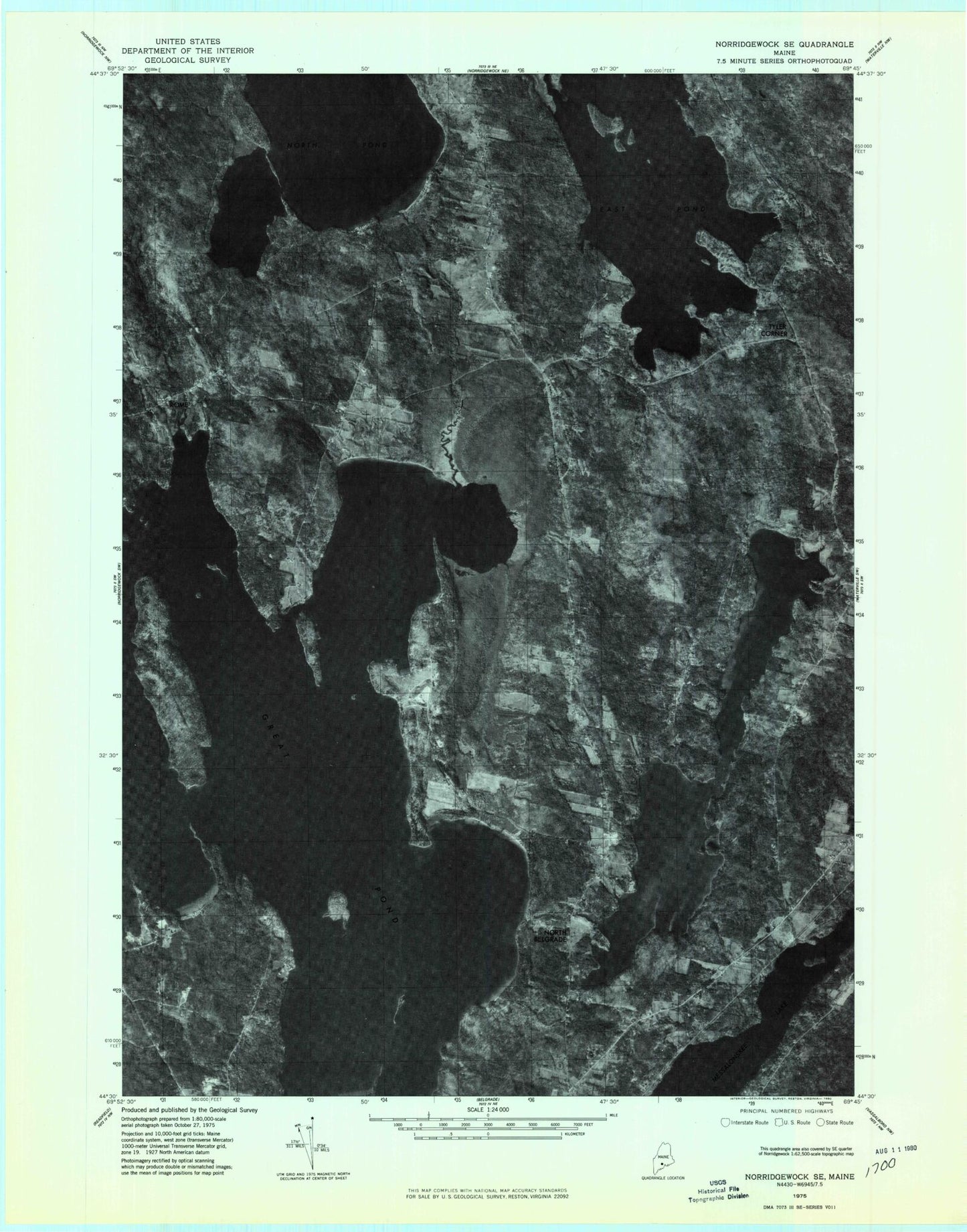
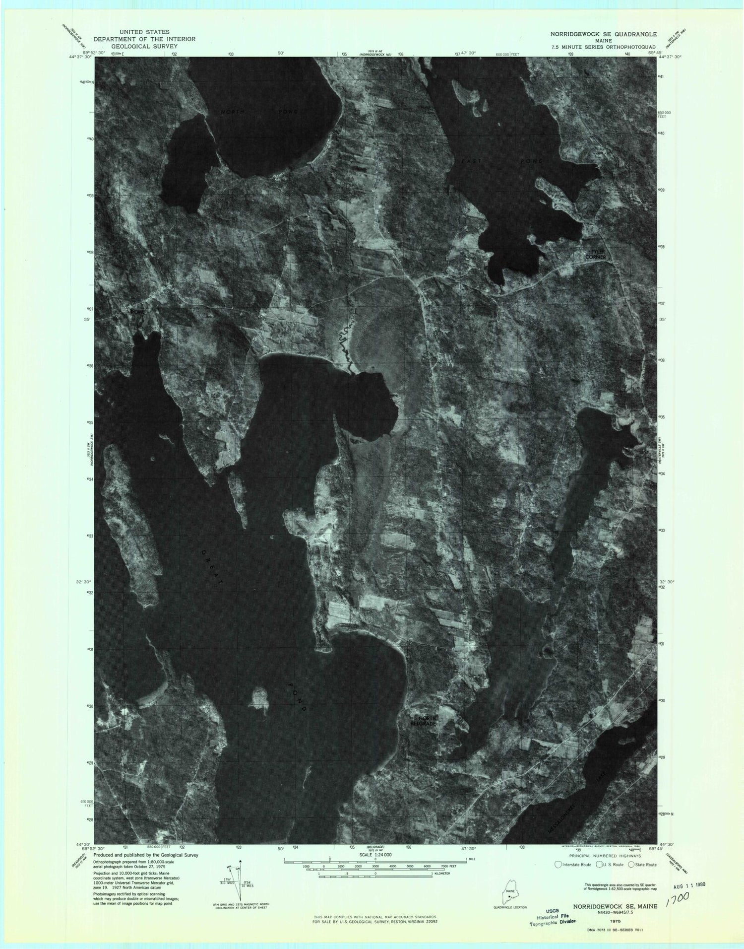
This quadrangle is in the following counties: Kennebec, Somerset.
The map contains contour lines, roads, rivers, towns, and lakes. Printed on high-quality waterproof paper with UV fade-resistant inks, and shipped rolled.
Contains the following named places: Bickford Hill, Birch Island, Birch Point, Blake Island, Brickett Point, Hersom Point, Chute Island, Coe Point, Crooked Island, Dudley School, East Pond, Ellis Pond, Foss Hill, Foster Point, Gates Island, Great Meadow Stream, Great Pond, Hatch Cove, Hemlock Point, Horse Point, Howland Hill, Hoyt Island, Indian Island, Jamaica Point, Libby Point, Little Pond, Long Point, Loon Island, McGrath Pond, Miller Islands, Mosher Hill, Mutton Hill, North Bay, North Belgrade, North Belgrade Station, Oak Island, Otter Island, Pine Island, Pine Tree Camp, Ram Island, Robbins Mill Stream, Rome, Snake Point, Stony Point, The Narrows, Varney Hill, Washington School, Whitehouse Cemetery, Tyler Corner, Salmon Lake, Ellis Pond Dam, Mill Stream, Belgrade Volunteer Fire Department North Belgrade Station, Rome Fire and Rescue West Side Station, Rome Rescue Squad, Smithfield City Cemetery, Bickford Ellis Cemetery, Chute Cemetery, Tuttle Cemetery, Stevens Cemetery, Central Maine Learning Center