MyTopo
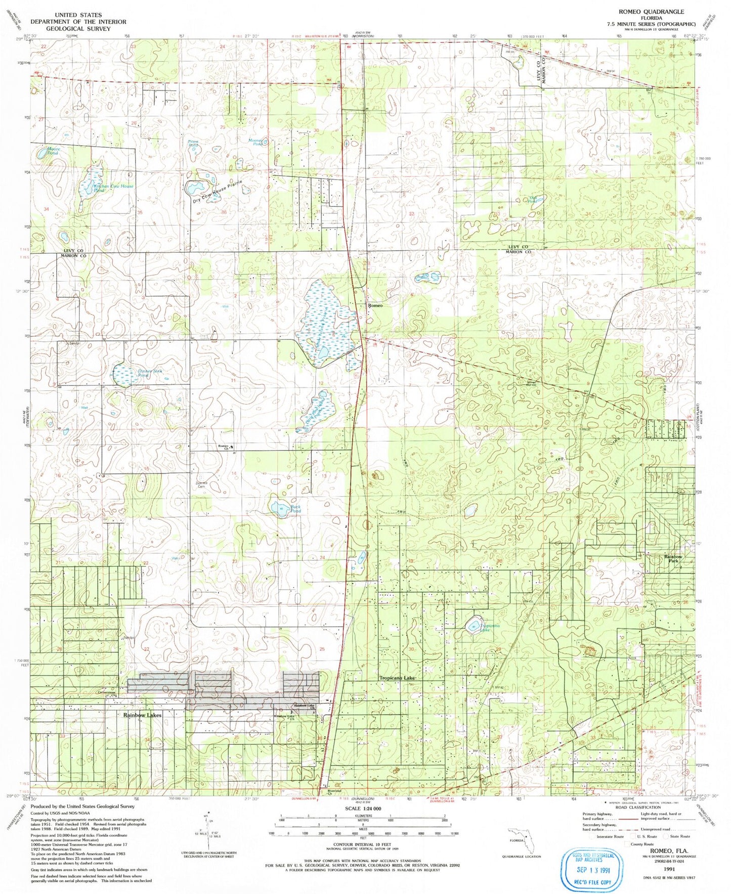
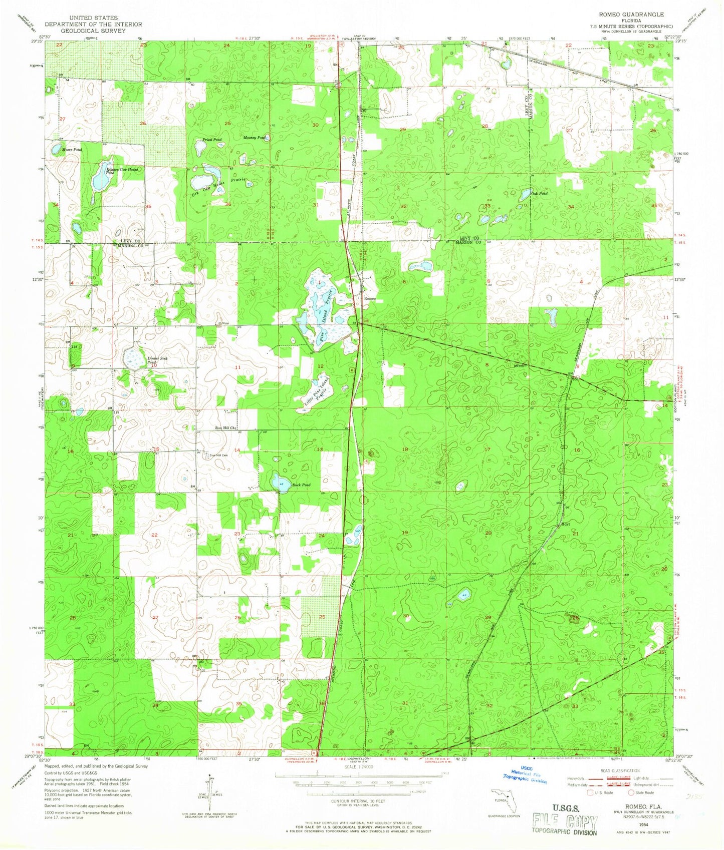
Classic USGS Romeo Florida 7.5'x7.5' Topo Map
Couldn't load pickup availability
Historical USGS topographic quad map of Romeo in the state of Florida. Map scale may vary for some years, but is generally around 1:24,000. Print size is approximately 24" x 27"
This quadrangle is in the following counties: Levy, Marion.
The map contains contour lines, roads, rivers, towns, and lakes. Printed on high-quality waterproof paper with UV fade-resistant inks, and shipped rolled.
Contains the following named places: Buck Pond, Calvary Baptist Temple, Cornerstone Church, Dinner Sink Pond, Dry Cow House Prairie, Hoyt, Kitchen Cow House Pond, Little Pine Island Prairie, Luddersville, Marion County Fire Rescue Station 25 Lake Tropicana, Mooney Pond, Moore Pond, Morningside Baptist Church, Oak Pond, Pine Island Prairie, Priest Pond, Rainbow Lake Baptist Church, Rainbow Lakes Estates, Rainbow Lakes Estates Fire Department, Rainbow Lakes United Methodist Church, Riverland Baptist Church, Romeo, Romeo Baptist Church, Romeo Elementary School, WTRS-FM (Dunnellon), Zion Hill Cemetery


