MyTopo
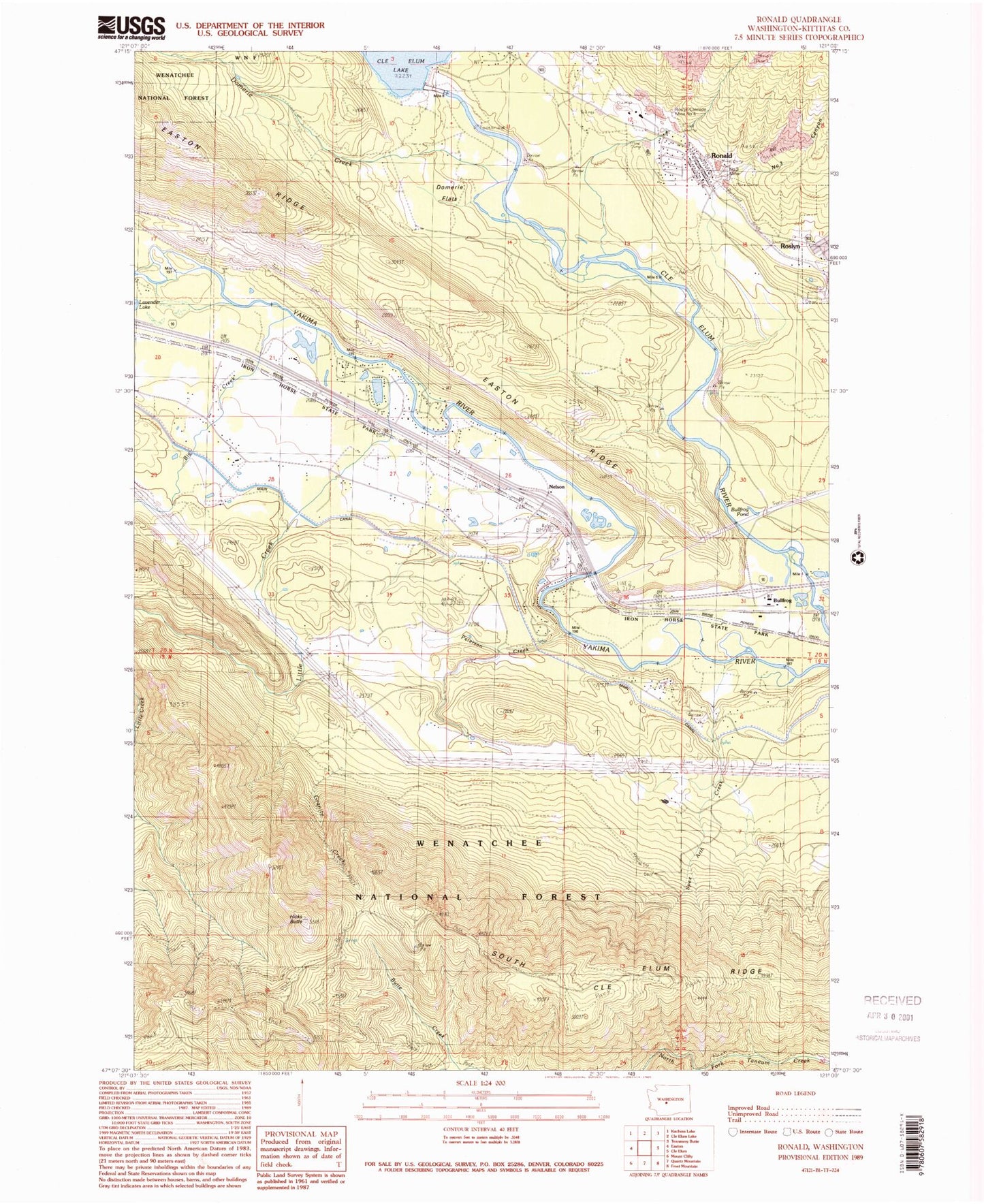
Classic USGS Ronald Washington 7.5'x7.5' Topo Map
Couldn't load pickup availability
Historical USGS topographic quad map of Ronald in the state of Washington. Map scale may vary for some years, but is generally around 1:24,000. Print size is approximately 24" x 27"
This quadrangle is in the following counties: Kittitas.
The map contains contour lines, roads, rivers, towns, and lakes. Printed on high-quality waterproof paper with UV fade-resistant inks, and shipped rolled.
Contains the following named places: Big Creek, Bullfrog Pond, Butte Creek, Cle Elum Dam, Domerie Creek, Domerie Flats, Easton Ridge Lookout, Hicks Butte, Hicks Butte Trail, Kittitas County Fire District 7 Station 73, Kittitas County Fire Protection District 6 Station 61, Lavender, Little Creek, Nelson, Nelson Creek, Number 3 Canyon, Peterson Creek, Ronald, Ronald Census Designated Place, Ronald Post Office, Roslyn Cascade Mine 4, South Cle Elum Ridge, Spex Arth Creek