MyTopo
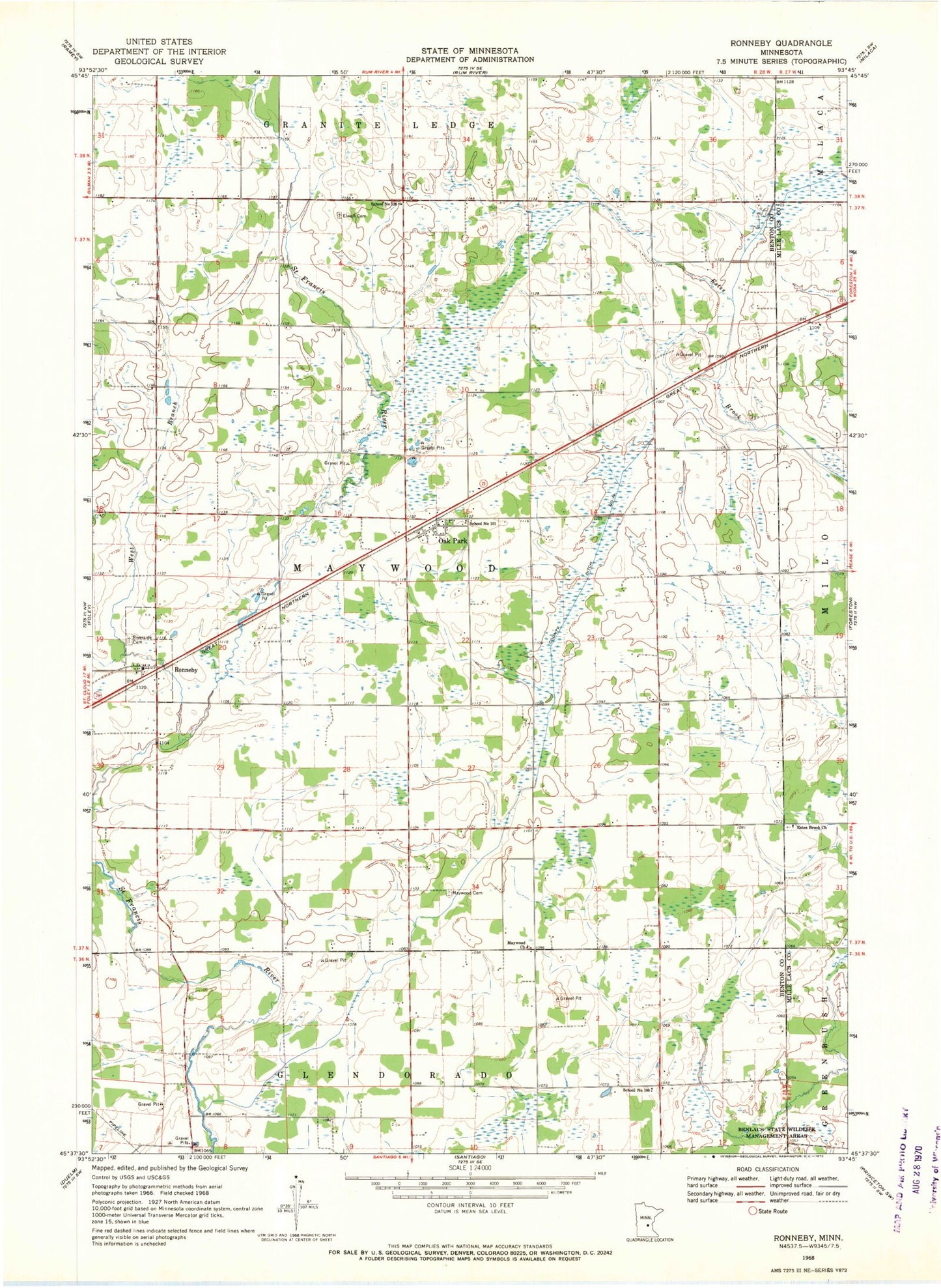
Classic USGS Ronneby Minnesota 7.5'x7.5' Topo Map
Couldn't load pickup availability
Historical USGS topographic quad map of Ronneby in the state of Minnesota. Map scale may vary for some years, but is generally around 1:24,000. Print size is approximately 24" x 27"
This quadrangle is in the following counties: Benton, Mille Lacs.
The map contains contour lines, roads, rivers, towns, and lakes. Printed on high-quality waterproof paper with UV fade-resistant inks, and shipped rolled.
Contains the following named places: City of Ronneby, County Ditch Number Fourteen, Elwell Cemetery, Estes Brook Church, Hanenburg Farms, Maywood Cemetery, Maywood Church, Maywood Post Office, Oak Park, Oak Park Post Office, Riverside Cemetery, Ronneby, Ronneby Census Designated Place, Ronneby Post Office, School Number 100, School Number 101, School Number 126, Township of Maywood, West Branch Saint Francis River, ZIP Code: 56357