MyTopo
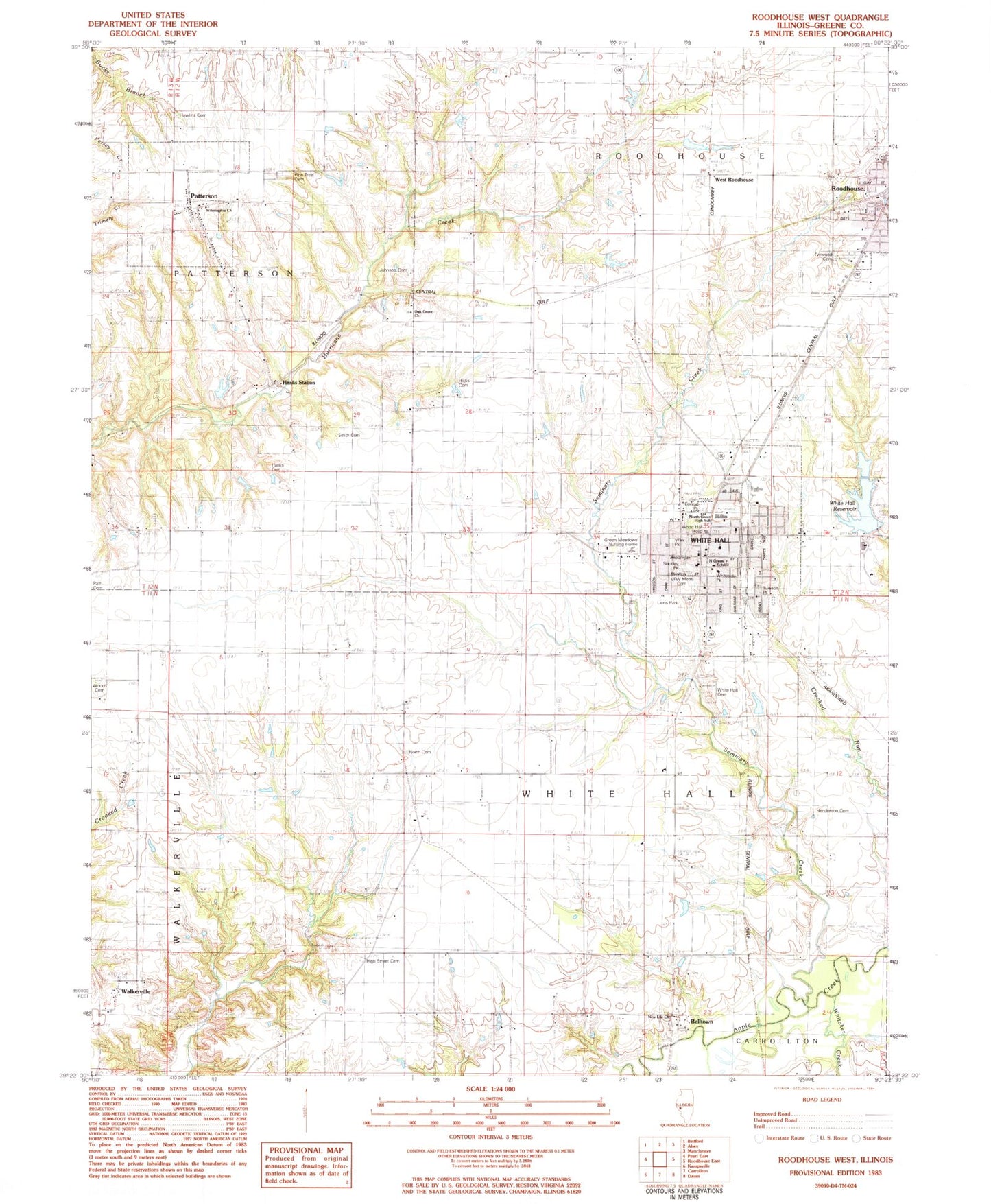
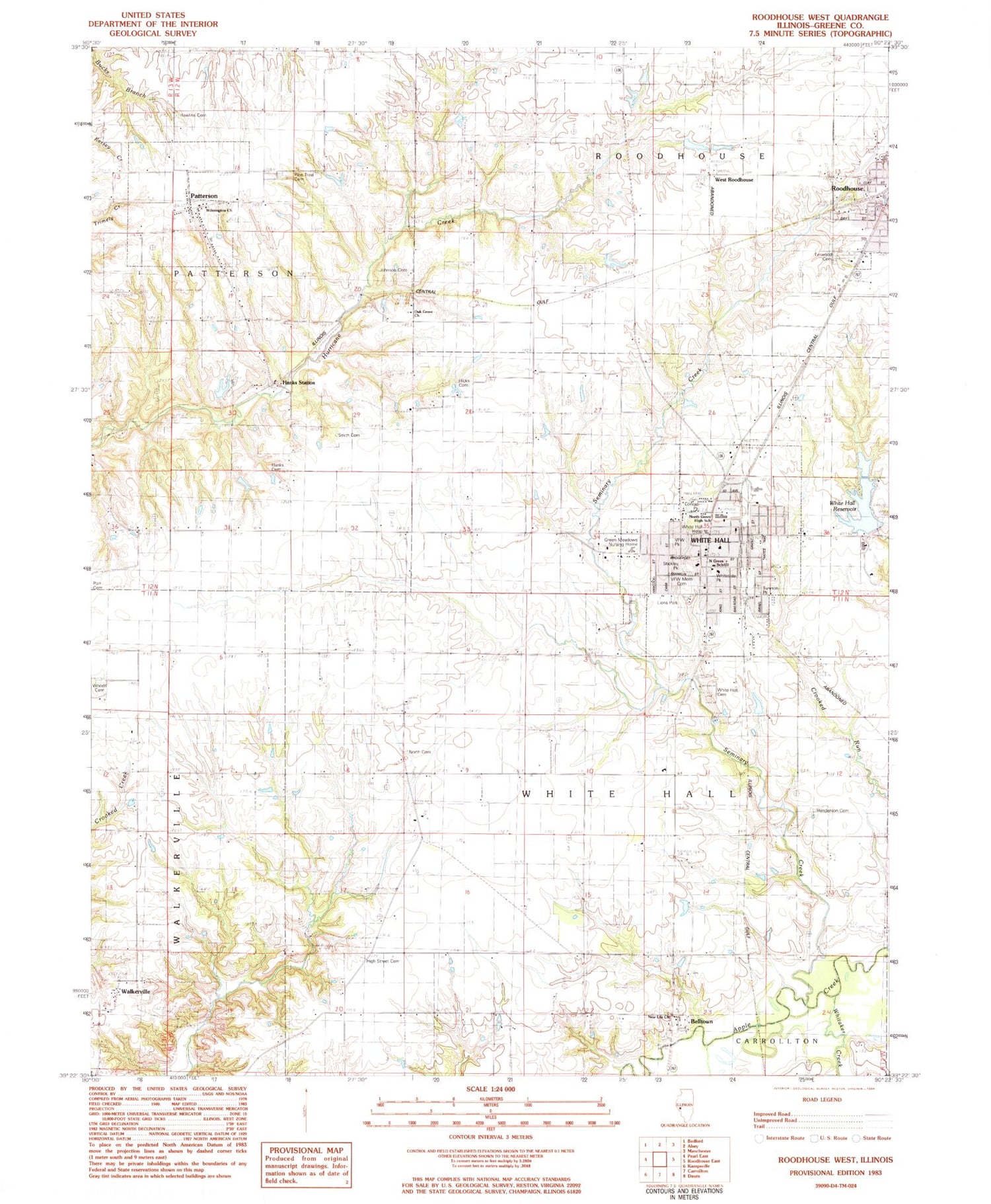
Classic USGS Roodhouse West Illinois 7.5'x7.5' Topo Map
Couldn't load pickup availability
Historical USGS topographic quad map of Roodhouse West in the state of Illinois. Map scale may vary for some years, but is generally around 1:24,000. Print size is approximately 24" x 27"
This quadrangle is in the following counties: Greene.
The map contains contour lines, roads, rivers, towns, and lakes. Printed on high-quality waterproof paper with UV fade-resistant inks, and shipped rolled.
Contains the following named places: All Saints Catholic Church, Belltown, Belltown School, Calvary Baptist Church, City of White Hall, Conrad Park, Fernwood Cemetery, First Baptist Church, First Christian Church, Golden Arrow School, Green Meadow Nursing Home, Gregory School, Hanks Cemetery, Hanks Station, Henderson Cemetery, Hicks Cemetery, High Street Cemetery, High Street Church, High Street School, Howard School, Johnson Cemetery, Liberty School, Lions Park, Maple Grove School, New Life Church, North Cemetery, North Greene High School, Oak Grove Church, Oak Grove School, Patterson, Patterson Post Office, Pine Tree Cemetery, Rawlins Cemetery, Roodhouse Elementary School, Roodhouse Fire Protection District, Seminary Creek, Smith Cemetery, Souls Harbor Apostolic Church, Swamp College School, Township of White Hall, Tunison Park, Veterans of Foreign Wars Memorial Cemetery, Veterans of Foreign Wars Park, Village of Wilmington, Virginia Tillery Round Barn, Walkerville, Walkerville Cemetery, West Roodhouse, Whitaker Creek, White Hall, White Hall Cemetery, White Hall Elementary School, White Hall Fire Protection District, White Hall Historic District, White Hall Hospital, White Hall Pentecostal Church, White Hall Police Department, White Hall Post Office, White Hall Reservoir, White Hall Reservoir Dam, White Hall Volunteer Fire Department, Whiteside Park, William Wood Cemetery, Wilmington Cemetery, Wilmington Church, ZIP Codes: 62078, 62092


