MyTopo
Classic USGS Rooster Comb Oregon 7.5'x7.5' Topo Map
Couldn't load pickup availability
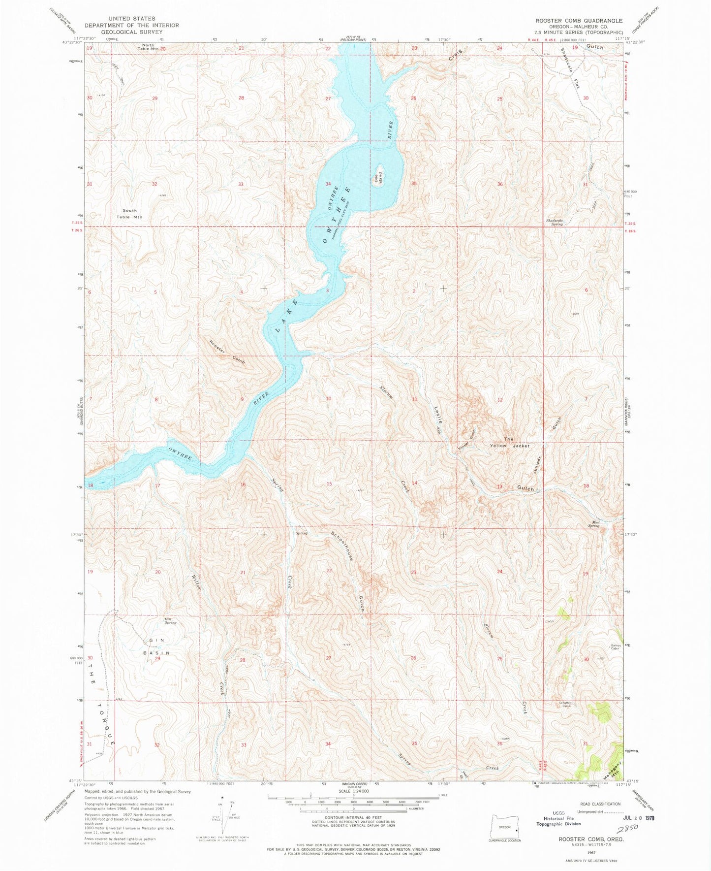
Historical USGS topographic quad map of Rooster Comb in the state of Oregon. Typical map scale is 1:24,000, but may vary for certain years, if available. Print size: 24" x 27"
This quadrangle is in the following counties: Malheur.
The map contains contour lines, roads, rivers, towns, and lakes. Printed on high-quality waterproof paper with UV fade-resistant inks, and shipped rolled.
Contains the following named places: Craig Gulch, Doe Island, Gin Basin, Gin Spring, Hon Gulch, Juniper Gulch, Leslie Gulch, Mud Spring, Rooster Comb, Runaway Creek, Schaffer Cabin (historical), Schoolhouse Gulch, Shadscale Flat, Shadscale Spring, Slocum Creek, Spring Creek, The Yellow Jacket, Willow Creek, Spring Creek Camp, Leslie Gulch Camp, Dago Gulch, South Table Mountain, Gin Basin Reservoir, Barnes Cabin (historical), Timber Gulch, The Tongue, Leslie Gulch Boat Ramp


