MyTopo
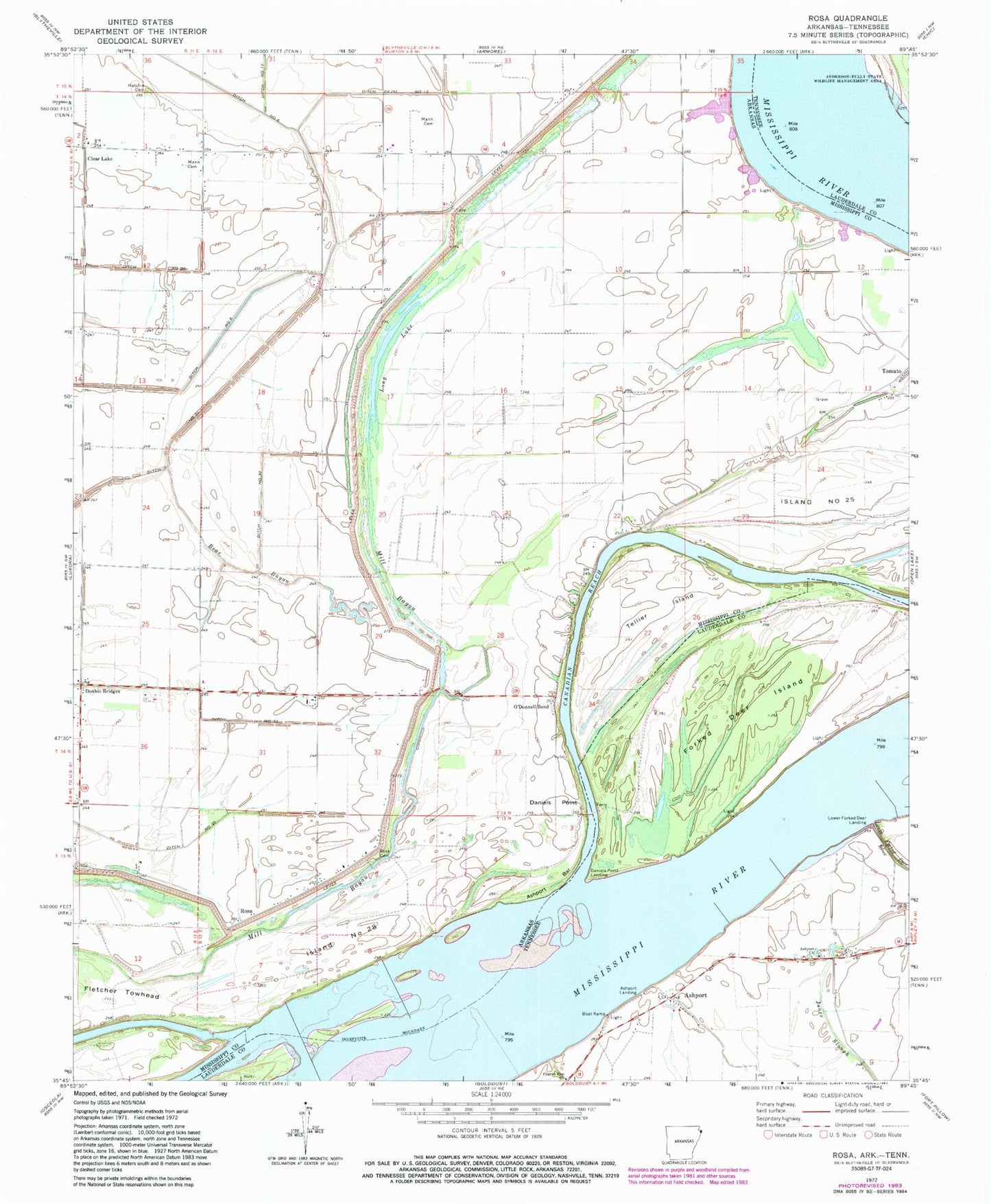
Classic USGS Rosa Arkansas 7.5'x7.5' Topo Map
Couldn't load pickup availability
Historical USGS topographic quad map of Rosa in the states of Arkansas, Tennessee. Map scale may vary for some years, but is generally around 1:24,000. Print size is approximately 24" x 27"
This quadrangle is in the following counties: Lauderdale, Mississippi.
The map contains contour lines, roads, rivers, towns, and lakes. Printed on high-quality waterproof paper with UV fade-resistant inks, and shipped rolled.
Contains the following named places: Ashport, Ashport Bar, Ashport Bend, Ashport Church, Ashport Ferry, Ashport Landing, Ashport Revetment, Ashport School, Bear Bayou, Canadian Reach, Church of Christ, Clear Lake, Clear Lake Baptist Church, Clear Lake Farm, Clear Lake School, Daniels Point, Daniels Point Landing, Daniels Point Revetment, Ditch Number 13, Ditch Number 32, Ditch Number 33, Double Bridges, Fisher Landing, Forked Deer Island, Hatchie Cemetery, Island Number 28, Island Number Twentyseven, Island Number Twentysix, Island Number Twentysix Revetment, Johnson Landing, Kate Aubrey Towhead Bar, Long Lake, Lower Forked Deer Landing, Lower Forked Deer River, Mann Cemetery, O'Donald Bend School, O'Donnell Bend, Pentecostal Church, Pilgrim Rest Church, Princess Chapel, Rosa, Rosa Baptist Church, Rosa Cemetery, Rosa Church, Sadie Lee Landing, Saint John Church, Saint Luke Church, Sanctified Church, Steger Cemetery, Stiegers Eddy, Tellier Island, Tow Head Island, Township of Swayne, West Bayou, Woods Lake


