MyTopo
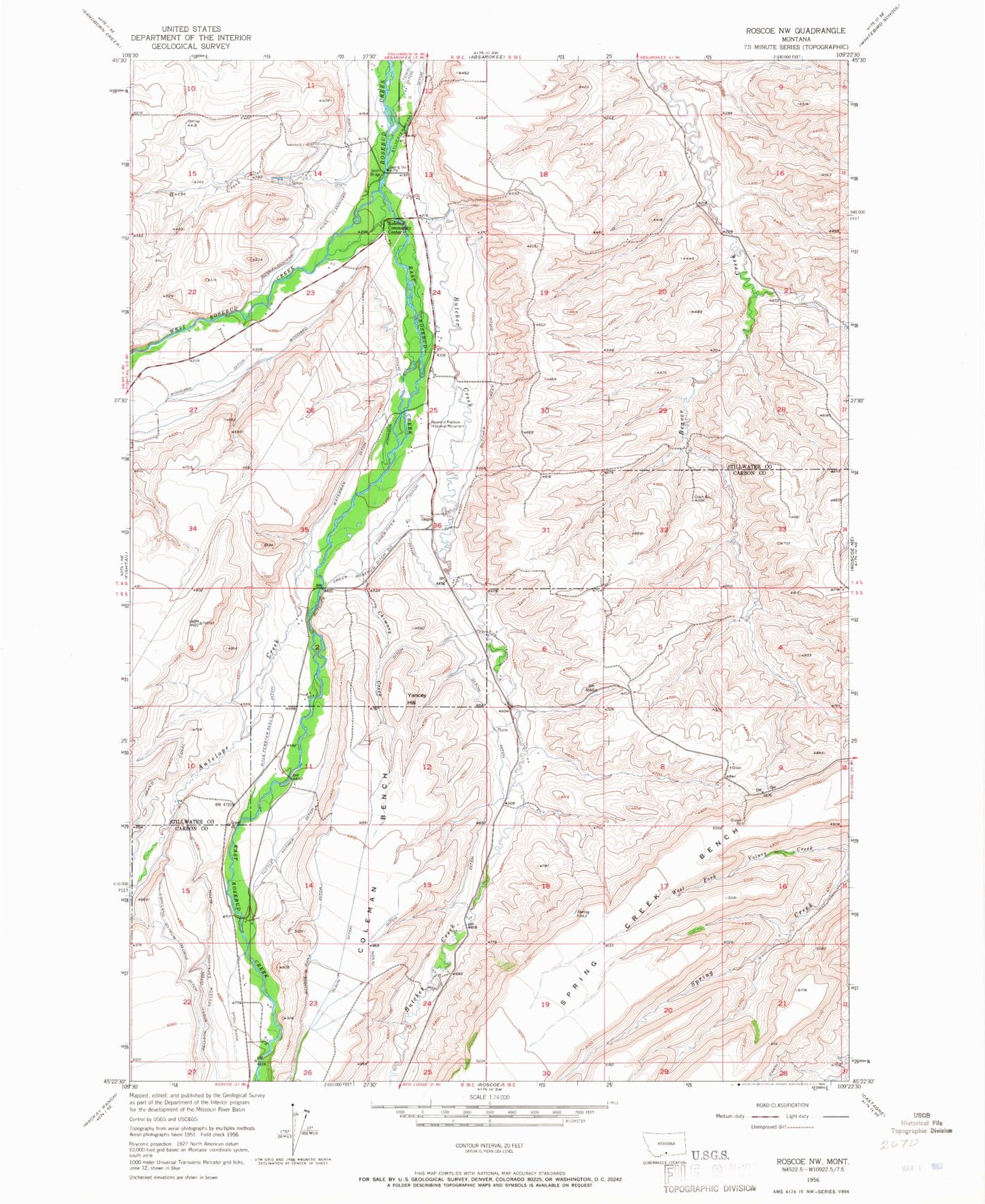
Classic USGS Roscoe NW Montana 7.5'x7.5' Topo Map
Couldn't load pickup availability
Historical USGS topographic quad map of Roscoe NW in the state of Montana. Map scale may vary for some years, but is generally around 1:24,000. Print size is approximately 24" x 27"
This quadrangle is in the following counties: Carbon, Stillwater.
The map contains contour lines, roads, rivers, towns, and lakes. Printed on high-quality waterproof paper with UV fade-resistant inks, and shipped rolled.
Contains the following named places: 04S18E13DCBC01 Well, 04S18E14BBDA01 Well, 04S18E22DCAA01 Well, 04S18E23AADB01 Well, 04S18E23BDCD01 Well, 05S18E03ABBB01 Well, Antelope Creek, Butcher Creek, Butcher Creek Ditch, Butcher Creek Rosebud Ditch County, Chimney Creek, Coleman Bench, East Rosebud Creek, Eggen-Piper Ditch, Horse Creek, Johnson Ditch, Jorgen Elesius Madson Historical Marker, Kyle Ferster-Seely Ditch, Olson Ditch, Rosebud Community Center, Ross-Flannigan Ditch, Rudd School, Selleck-Espeland Ditch, Selleck-Scott Ditch, Smith Bridge, Sylvester-Beasly Ditch, Tuttle Luther Ditch, Waterman Ditch, West Rosebud Creek, Woodard Ditch, Yances School, Yancey Hill


