MyTopo
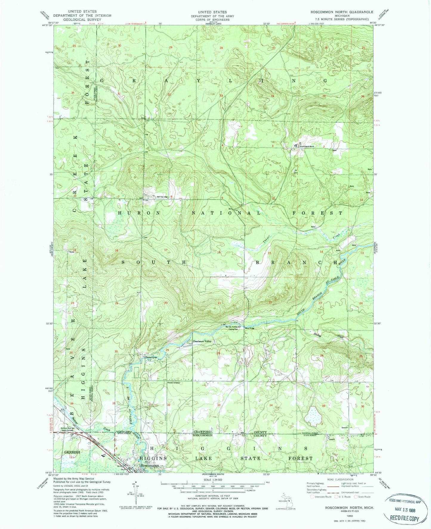
Classic USGS Roscommon North Michigan 7.5'x7.5' Topo Map
Couldn't load pickup availability
Historical USGS topographic quad map of Roscommon North in the state of Michigan. Typical map scale is 1:24,000, but may vary for certain years, if available. Print size: 24" x 27"
This quadrangle is in the following counties: Crawford, Roscommon.
The map contains contour lines, roads, rivers, towns, and lakes. Printed on high-quality waterproof paper with UV fade-resistant inks, and shipped rolled.
Contains the following named places: Beaver Creek, Bell Top Lodge, Deerheart Valley, Hickey Creek, Northern Block and Supply Company, Pioneer Cemetery, South Branch Ranch, Four Trail Camp, Bay City Hunting and Fishing Club, Chase Bridge, Steckert Bridge, Forest Dunes Golf Club, Hilltop Manor Health Care Center, Roscommon Free Methodist Church, Saint Michael's Church, South Branch Township Fire and Emergency Medical Services