MyTopo
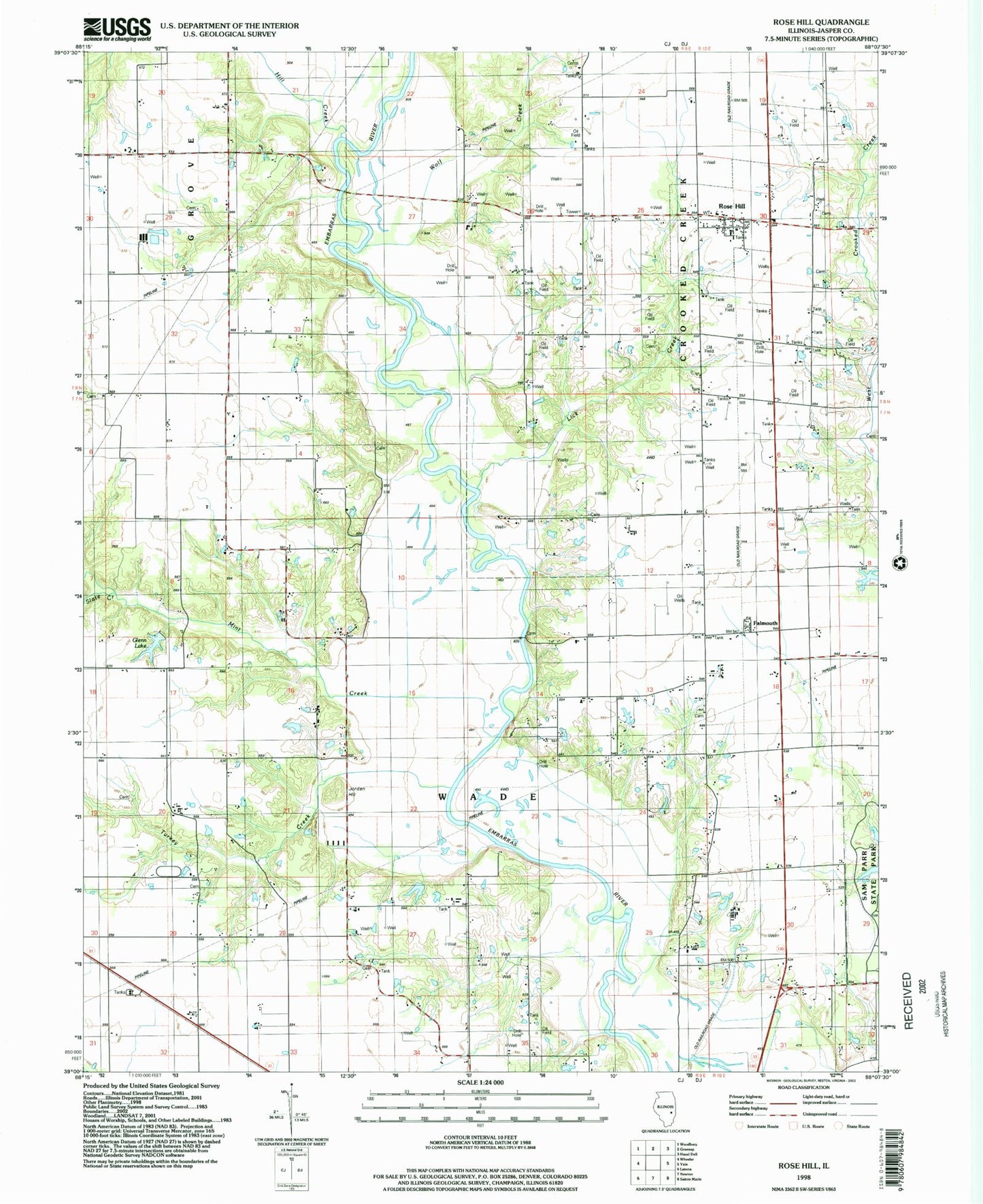
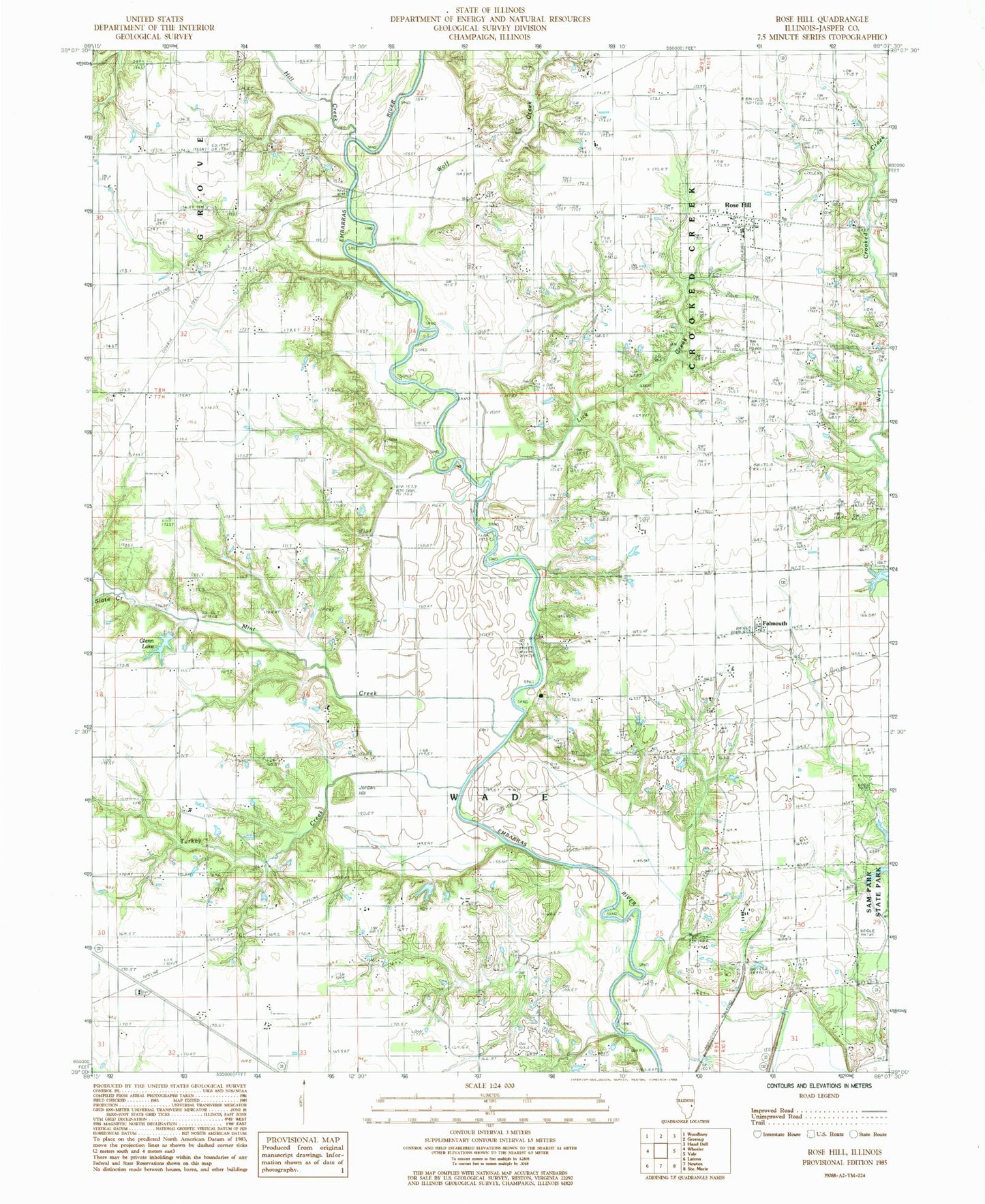
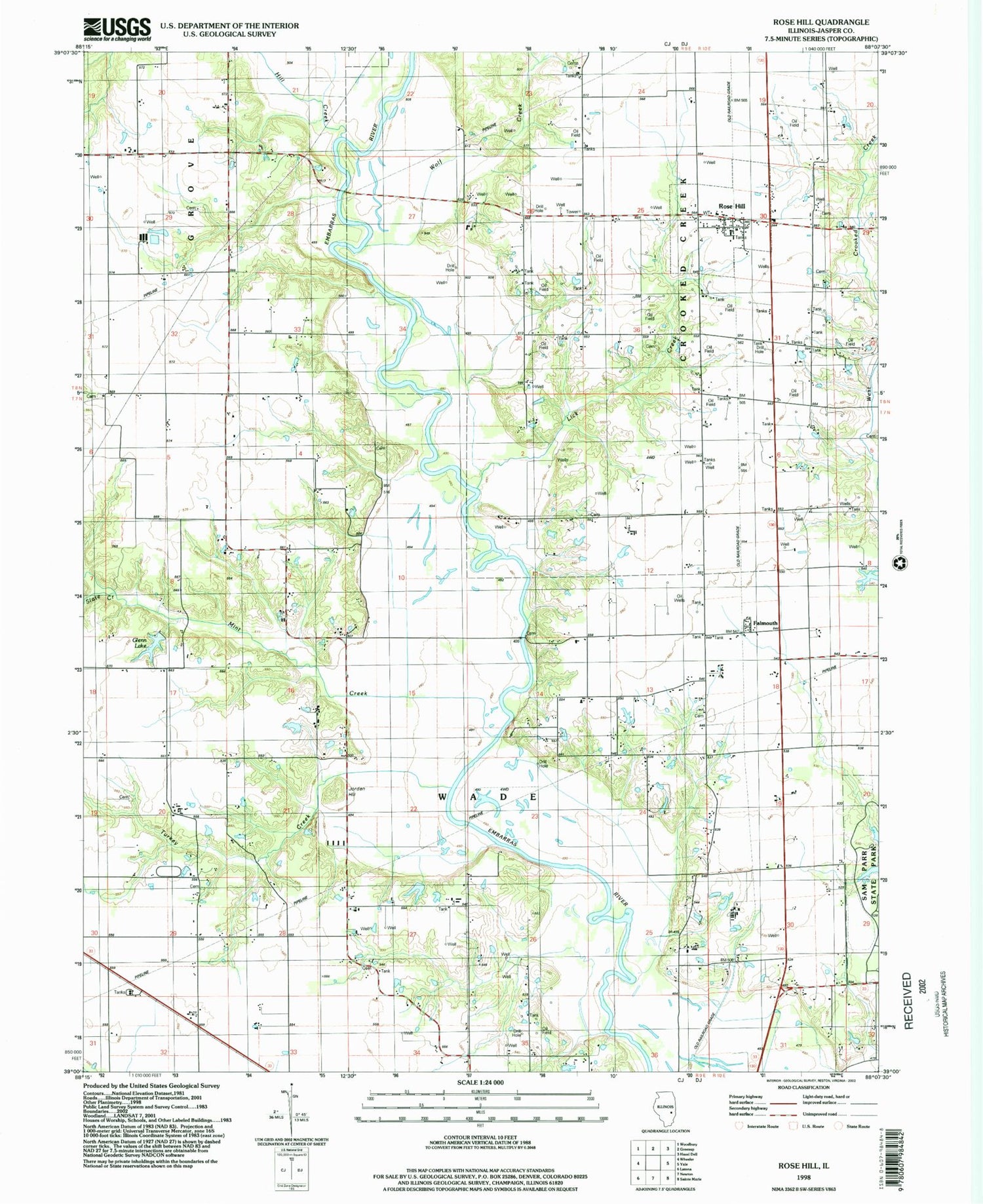
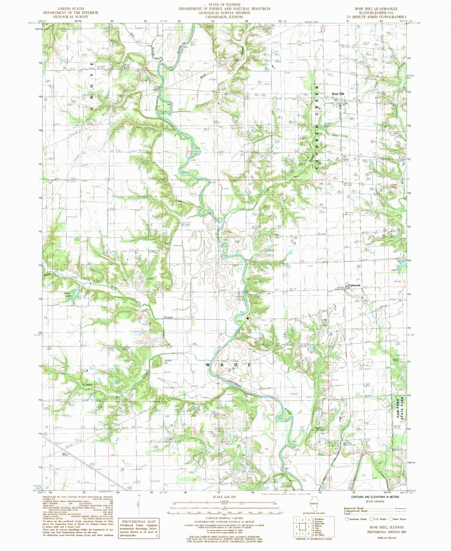
Classic USGS Rose Hill Illinois 7.5'x7.5' Topo Map
Couldn't load pickup availability
Historical USGS topographic quad map of Rose Hill in the state of Illinois. Map scale may vary for some years, but is generally around 1:24,000. Print size is approximately 24" x 27"
This quadrangle is in the following counties: Jasper.
The map contains contour lines, roads, rivers, towns, and lakes. Printed on high-quality waterproof paper with UV fade-resistant inks, and shipped rolled.
Contains the following named places: Bowers Cemetery, Brick Cemetery, Christian Chapel Cemetery, Coburn Cemetery, Falmouth, Falmouth Chapel, Foltz School, Gila Lutheran Cemetery, Glenn Lake, Hickory School, Hill Creek, Jasper County, Jones Cemetery, Jordan Hill, Kerns Cemetery, Kerns Chapel, Kerns School, Kibler Cemetery, Lake Sandpoint, Lick Creek, Mint Creek, Mount Olive School, Mount Zion School, Oak Hill Church, Plainfield, Plainfield Cemetery, Plainfield School, Redford Cemetery, Rocking B Farms, Rose Hill, Rose Hill Elementary School, Ross Cemetery, Service Hill School, Shadbush Picnic Area, Slate Creek, Songer Cemetery, Springs School, Sweet Run School, Township of Crooked Creek, Township of Wade, Trainor School, Turkey Creek, Village of Rose Hill, Wilson School, Wolf Creek


