MyTopo
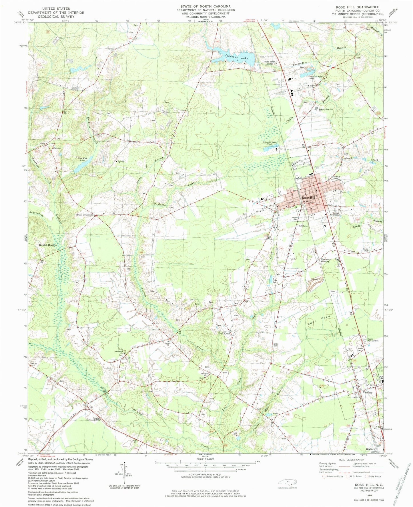
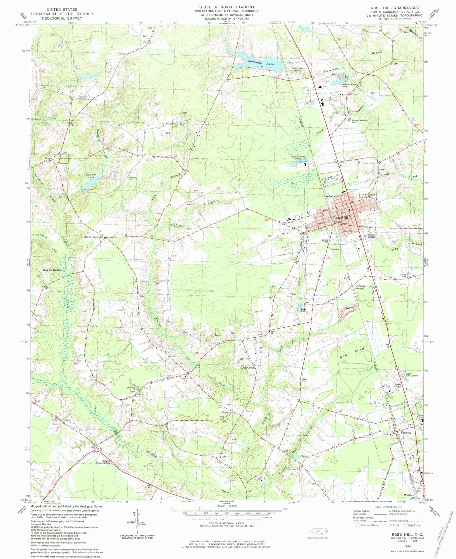
Classic USGS Rose Hill North Carolina 7.5'x7.5' Topo Map
Couldn't load pickup availability
Historical USGS topographic quad map of Rose Hill in the state of North Carolina. Map scale may vary for some years, but is generally around 1:24,000. Print size is approximately 24" x 27"
This quadrangle is in the following counties: Duplin.
The map contains contour lines, roads, rivers, towns, and lakes. Printed on high-quality waterproof paper with UV fade-resistant inks, and shipped rolled.
Contains the following named places: Bear Ford, Betholite Church, Big Beaverdam Creek, Brices Crossroads, Cabin Branch, Concord, Corinth Church, Duff Creek, Duplin County Emergency Medical Services Medic 7, Duplin Memorial Gardens, Friendship Church, Fussell Mill Branch, Jerome Park, Johnsons Lake, Lake Tut, Magnolia-Rose Hill School, Murpheys Creek, Nash Johnson Lake Dam, New Kirk Pond, New Kirk Pond Dam, North Branch, Providence Methodist Church, Rockfish Community Building, Rockfish Meadows, Rose Hill, Rose Hill Fire Department, Rose Hill Police Department, Rose Hill Post Office, Rose Hill Speedway, Rose Hill Wastewater Treatment Plant, Rosemary Crossing, Taylors Creek, Teachey, Teachey Post Office, Teachey Volunteer Fire Department, Town of Rose Hill, Town of Teachey, Township of Rockfish, Township of Rose Hill, WEGG-AM (Rose Hill), Wells Cemetery, ZIP Codes: 28458, 28464


