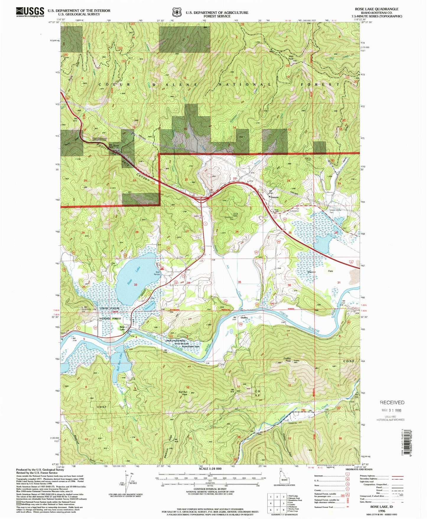
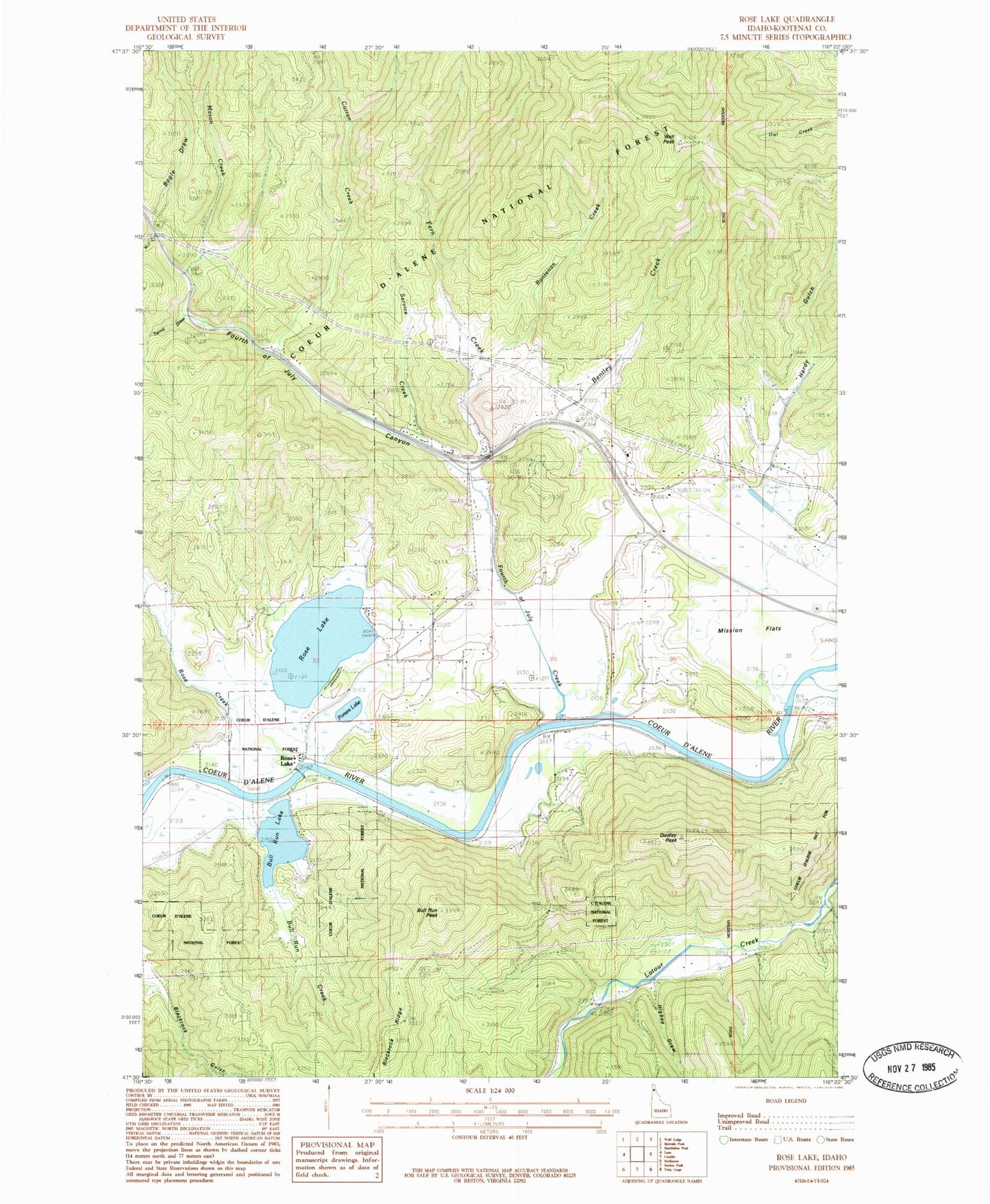
MyTopo
Classic USGS Rose Lake Idaho 7.5'x7.5' Topo Map
Couldn't load pickup availability
Historical USGS topographic quad map of Rose Lake in the state of Idaho. Map scale may vary for some years, but is generally around 1:24,000. Print size is approximately 24" x 27"
This quadrangle is in the following counties: Kootenai.
The map contains contour lines, roads, rivers, towns, and lakes. Printed on high-quality waterproof paper with UV fade-resistant inks, and shipped rolled.
Contains the following named places: Bentley Creek, Bogle Draw, Bull Run Creek, Bull Run Lake Access Area, Bull Run Peak, Canyon, Canyon Elementary School, Curran Creek, Dudley, Dudley Peak, Fern Creek, Fourth of July Canyon, Fourth of July Creek, Hardy Gulch, Higbee Draw, Hnselut, Little Baldy Creek, Mason Creek, Mill Creek, Mission Flats, Na'nstq'e'lkhwn Flat, Porters Lake, Rantenan Creek, Rose Creek, Rose Lake, Rose Lake Access Area, Rose Lake Cemetery, Rose Lake Recreation Site, Rose Lake Wildlife Habitat Area, Service Creek, Shoshone County Fire Protection District 2 Doyle Road Station, Snshelmens, Terrill Draw, Wall Peak, ZIP Code: 83810