MyTopo
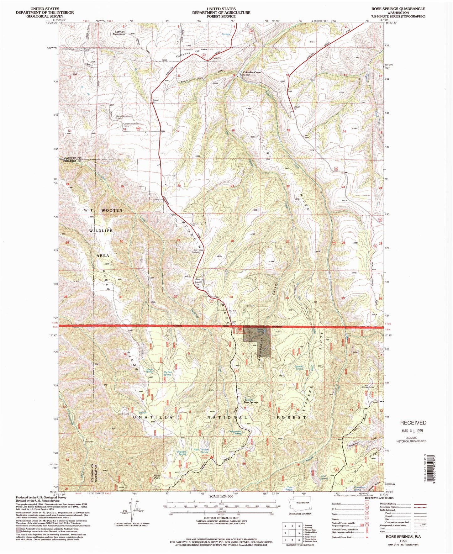
Classic USGS Rose Springs Washington 7.5'x7.5' Topo Map
Couldn't load pickup availability
Historical USGS topographic quad map of Rose Springs in the state of Washington. Map scale may vary for some years, but is generally around 1:24,000. Print size is approximately 24" x 27"
This quadrangle is in the following counties: Columbia, Garfield.
The map contains contour lines, roads, rivers, towns, and lakes. Printed on high-quality waterproof paper with UV fade-resistant inks, and shipped rolled.
Contains the following named places: Abels Point, Abels Ridge, Alder Thicket Campground, Alder Thicket Spring, Arbothknott Canyon, Baker Pond, Calloway Hill, Cold Spring, Columbia Center, Dry Pataha Creek, Government Spring, Hatten Well, Horseshoe Spring, Lanzie Spring, Martin Ridge, Oliphant Spring, Pataha Campground, Red Hill Gravel Pit, Rose Spring, Rose Springs, Ruchert Spring, Sawmill Spring, Scoggin Ridge, Stevens Ridge, Tatman Mountain, Twin Spring