MyTopo
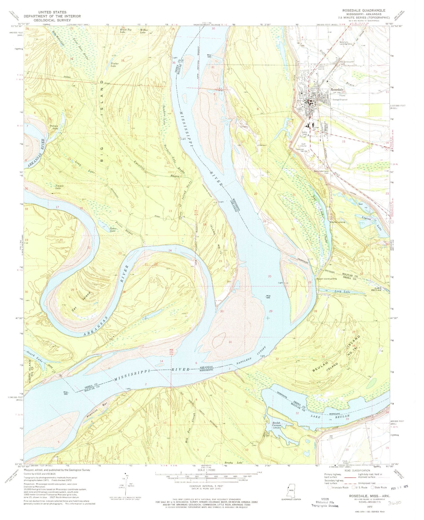
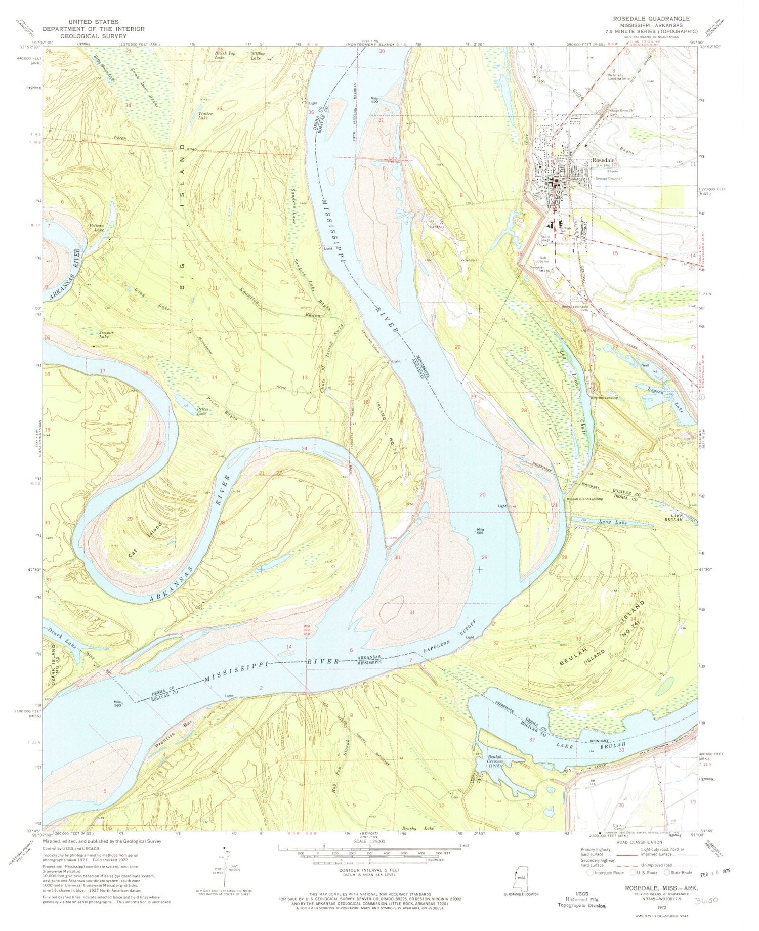
Classic USGS Rosedale Mississippi 7.5'x7.5' Topo Map
Couldn't load pickup availability
Historical USGS topographic quad map of Rosedale in the states of Mississippi, Arkansas. Map scale may vary for some years, but is generally around 1:24,000. Print size is approximately 24" x 27"
This quadrangle is in the following counties: Bolivar, Desha.
The map contains contour lines, roads, rivers, towns, and lakes. Printed on high-quality waterproof paper with UV fade-resistant inks, and shipped rolled.
Contains the following named places: Anns Tabernacle Cemetery, Arkansas River, Beulah Crevasse, Beulah Island Landing, Beulah Island Number 74, Billy Moore Lake, Bolivar County High School, Bolivar County Junior High School, Bolivar County Sheriff's Office, Cat Island, Chute of Island Number 73, City of Rosedale, Clark Cemetery, Cumbyville Bar, Hog Pen Slough, Island Number 73, Jimmie Lake, Joe Barnes Vocational Technical Center, Klondike Landing, Knowlton Bayou, Knowlton Point, Lake Beulah, Legion Lake, Log Loader Chute, Long Lake, Lower Rosedale Landing, McCloud Landing, Napoleon Cutoff, Napoleon Landing, O'Neal Landing, Ozark Landing, Pelican Lake, Pleasant Green Church, Pleasant Grove Cemetery, Prentiss Bar, Prentiss Landing, Prices Bayou, Prices Lake, Riverton Landing, Riverton Revetment, Rosedale, Rosedale Bend, Rosedale Landing, Rosedale Police Department, Rosedale Post Office, Rosedale Sewage Lagoon Dam, Rosedale Volunteer Fire Department, Sanders Lake, Sanders Lake Bayou, Sawgrass Lake, Swan Deer Brake, Swan Deer Lake, Timber Lake, Walter Sillers Memorial Park, Whiskey Chute


