MyTopo
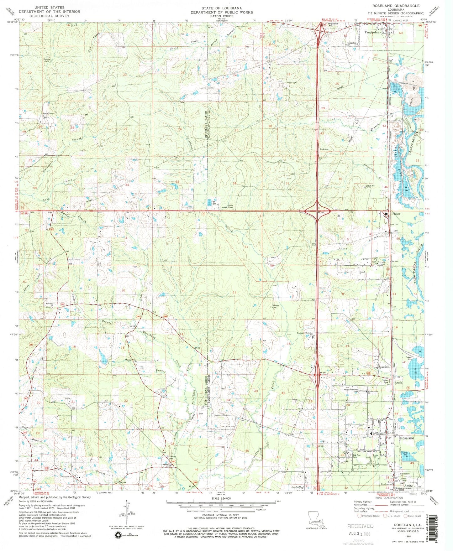
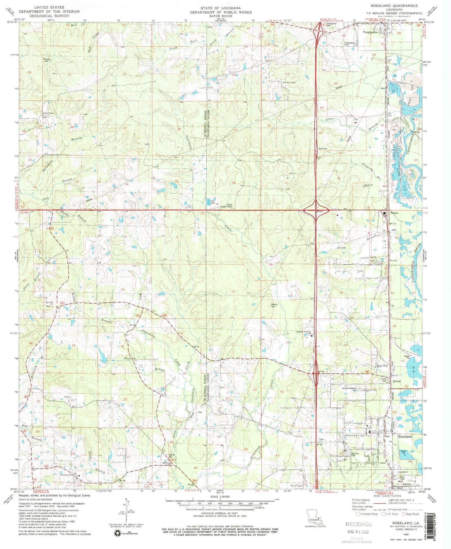
Classic USGS Roseland Louisiana 7.5'x7.5' Topo Map
Couldn't load pickup availability
Historical USGS topographic quad map of Roseland in the state of Louisiana. Map scale may vary for some years, but is generally around 1:24,000. Print size is approximately 24" x 27"
This quadrangle is in the following counties: St. Helena, Tangipahoa.
The map contains contour lines, roads, rivers, towns, and lakes. Printed on high-quality waterproof paper with UV fade-resistant inks, and shipped rolled.
Contains the following named places: Aaron Branch, Amite-Arcola Church, Arcola, Arcola Roseland Cemetery, Ballards Mobile Home Park, Barksdale Branch, Benton Branch, Big Zion Cemetery, Butler Temple, Carpenter Branch, Cline Branch, Community Church of God, Day, First Baptist Church of Arcola, Fluker, Fluker Chapel African Methodist Episcopal Church, Fluker Community Baptist Church, Fluker Post Office, Gaines Chapel, Hardy Branch, Huff Branch, Huff Chapel, Interstate Christian School, Kedron, Kedron Cemetery, Kedron Church, Kingdom Hall of Jehovahs Witnesses, Louisiana Noname 107 Dam, Mitchell, Mount Gillion Church, North Tangipahoa Head Start School, Phillips Cemetery, Pine Hill Church, Revival Center Church of God in Christ, Robinson Pond, Rose Valley Baptist Church, Roseland, Roseland Baptist Church, Roseland Fire Department, Roseland Montessori School, Roseland Police Department, Roseland Post Office, Roseland Praise and Worship Center, Roseland Volunteer Fire Department, Roseland Wastewater Treatment Plant, Saint Helena Parish Police Jury, Spring Branch, Tangipahoa Cemetery, Tangipahoa Post Office, Tangipahoa United Methodist Church, Town of Roseland, Watson Cemetery, West Natalbany Creek, Woodland School, ZIP Codes: 70436, 70456, 70465


