MyTopo
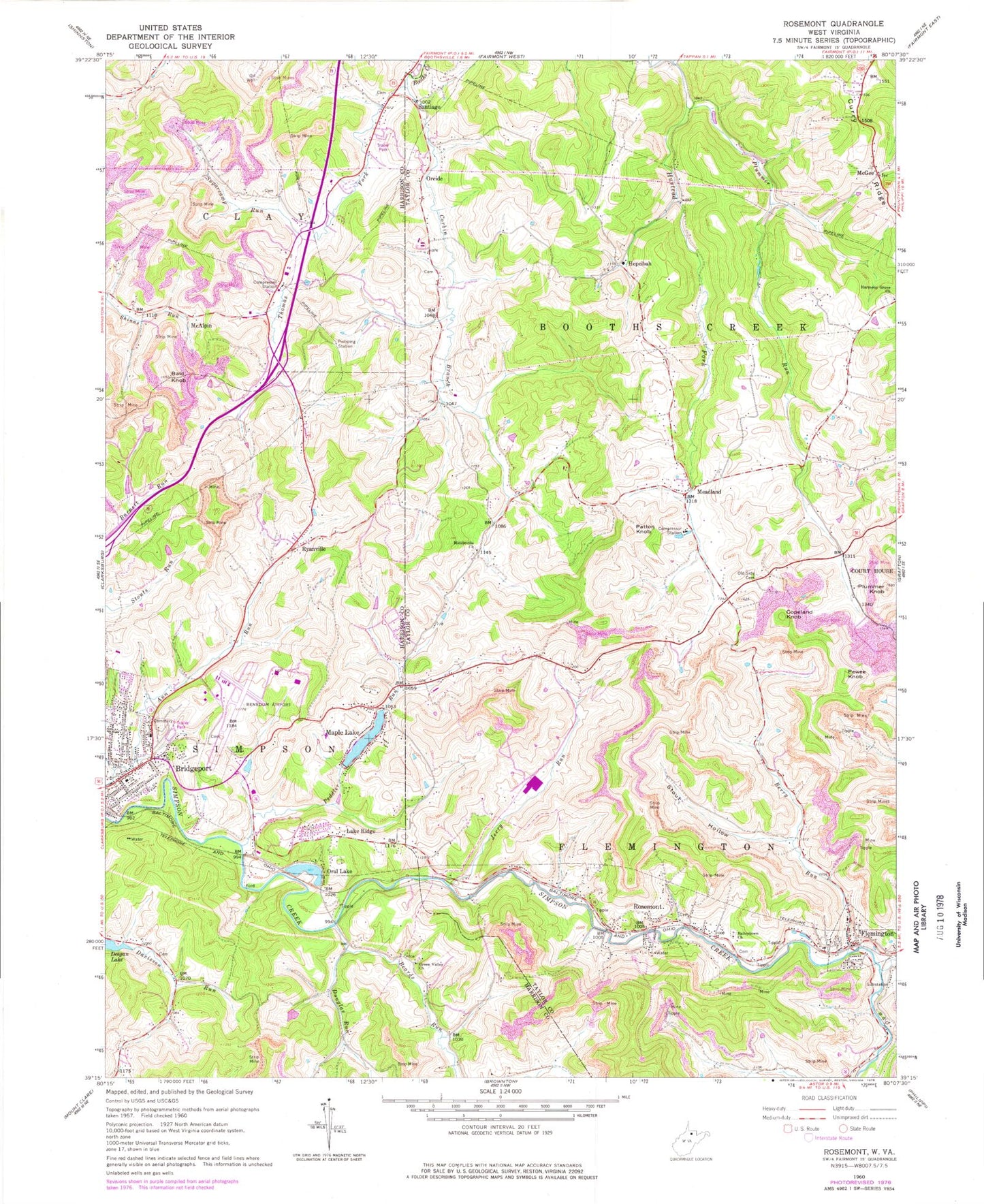
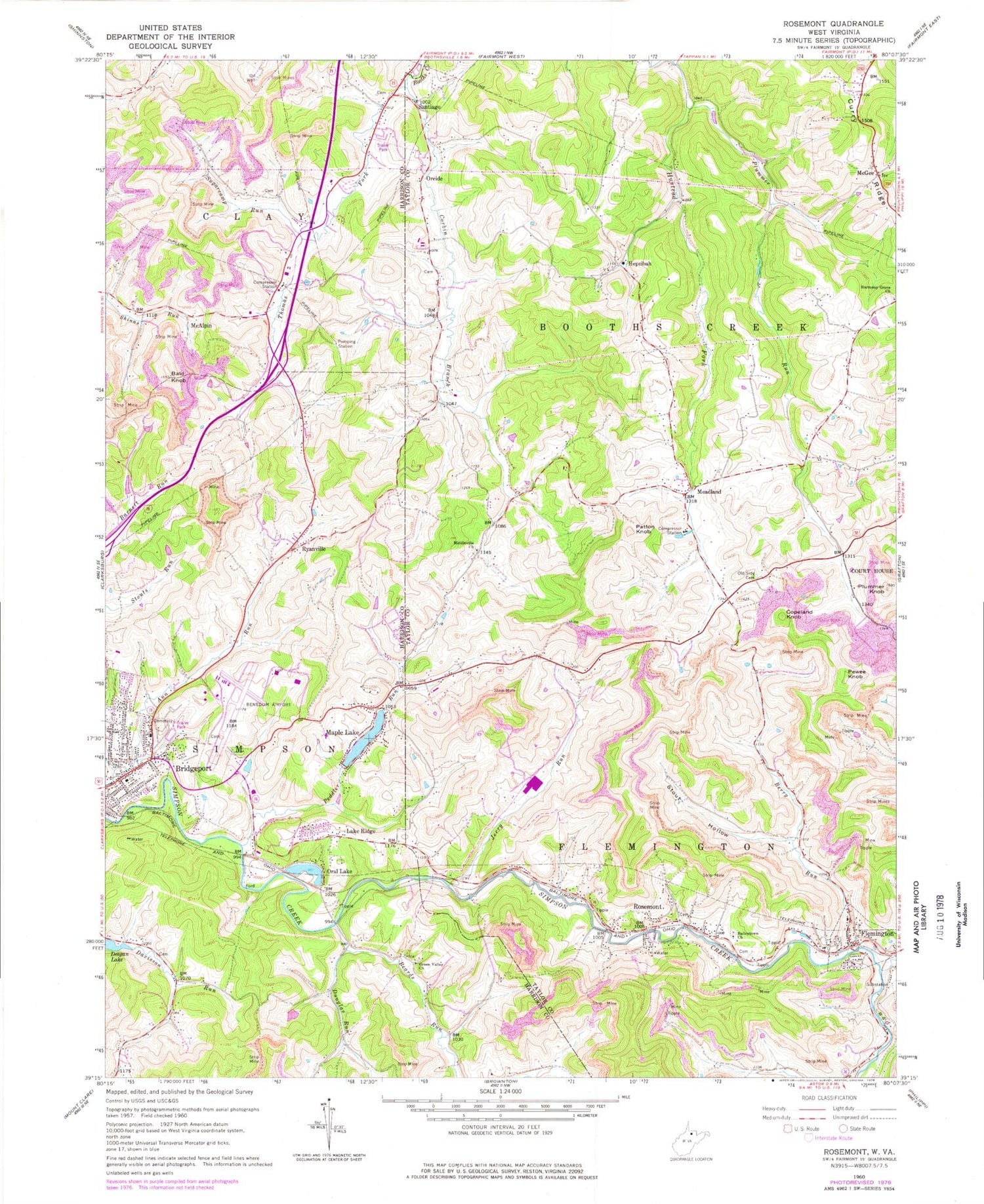
Classic USGS Rosemont West Virginia 7.5'x7.5' Topo Map
Couldn't load pickup availability
Historical USGS topographic quad map of Rosemont in the state of West Virginia. Map scale may vary for some years, but is generally around 1:24,000. Print size is approximately 24" x 27"
This quadrangle is in the following counties: Harrison, Taylor.
The map contains contour lines, roads, rivers, towns, and lakes. Printed on high-quality waterproof paper with UV fade-resistant inks, and shipped rolled.
Contains the following named places: Ann Run School, Bailey Memorial Cemetery, Bailey Memorial United Methodist Church, Bald Knob, Beards Run, Benedum Industrial Park, Berry Run, Bridgeport Cemetery, City of Bridgeport, Copeland Knob, Corbin Branch, Corbin School, Crosswind Corporate Park, Cubbys Child Care Center, Curry Ridge, Deegan Lake Dam, Dennis Cather Spring, Dollie Spring School, Douglas Run, Douglas Run School, Faris School, Flemington, Flemington Area Emergency Management Service Company 39, Flemington Post Office, Flemington Volunteer Fire Department, Gore School, Green Valley Church, Harmony Grove Cemetery, Harmony Grove Church, Harmony Grove School, Hepzibah, Hepzibah Baptist Church, Hepzibah Cemetery, Hepzibah Elementary School, Hinkle-Deegan Park, Jerry Run, Lake Ridge, Maple Lake, Maple Lake Dam, McAlpin, McGee, Meadland, Meadland School, Middleville, Middleville Cemetery, Middleville Church, Middleville School, Moss Run School, North Central West Virginia Airport, Old Side Cemetery, Old Side Church, Oral Lake, Oreide, Patton Knob, Peddler Run, Pewee Knob, Plummer Knob, Plummer Run, Right Fork Simpson Creek, Rosemont, Rosemont Post Office, Ryanville, Santiago, Stout Hollow, Sugarcamp Run, Taylor School, Terra Alta School, Thomas Fork, Town of Flemington, Turkey Run, United Hospital Center, Victory Valley Church, West Taylor Elementary School, Western District, ZIP Codes: 26330, 26347, 26424


