MyTopo
Classic USGS Rosiclare Illinois 7.5'x7.5' Topo Map
Couldn't load pickup availability
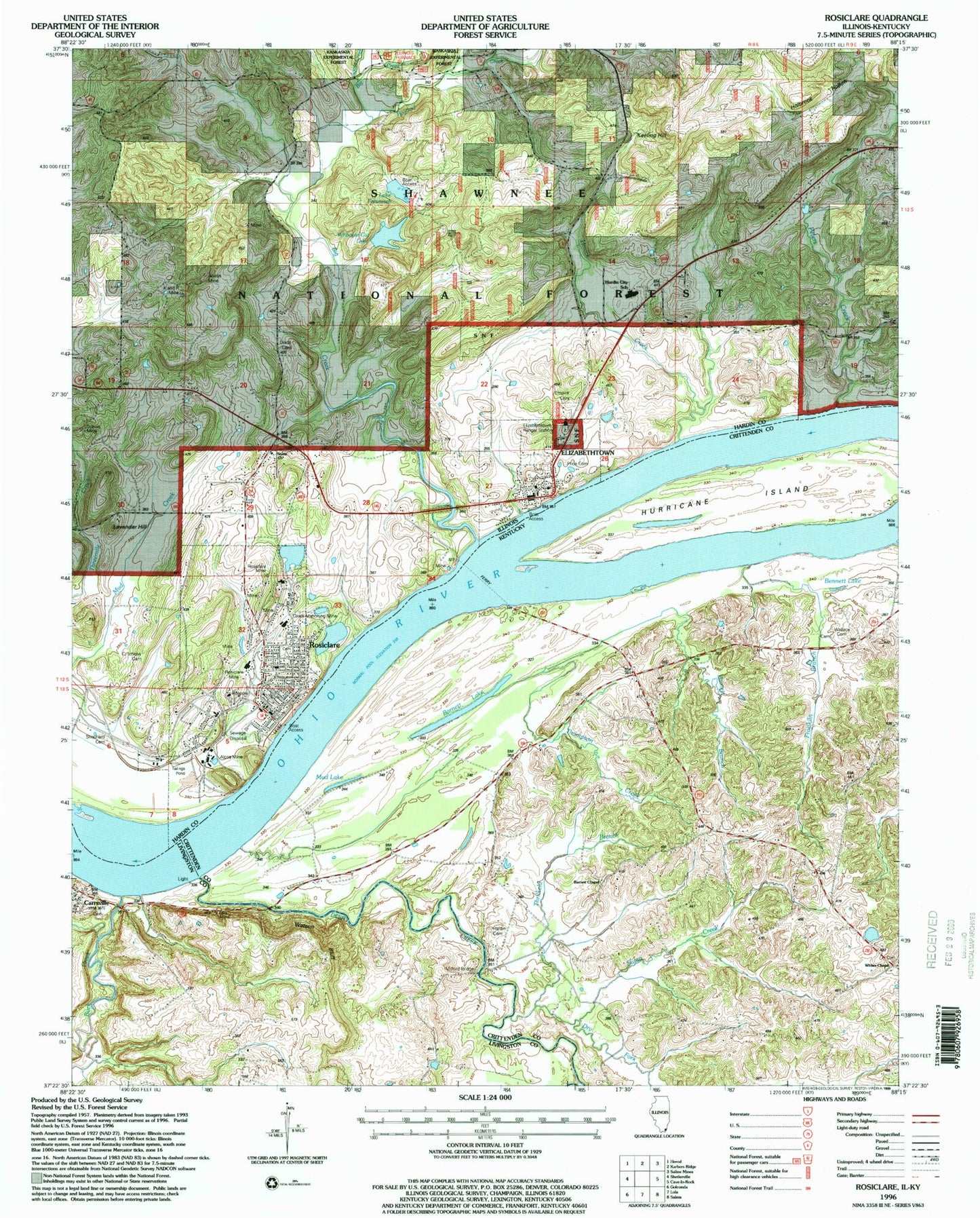
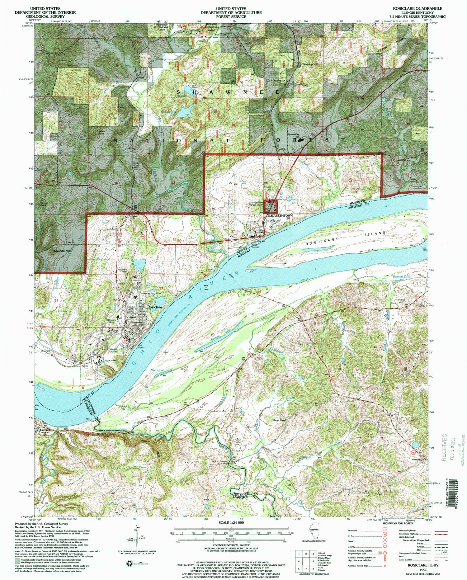
Historical USGS topographic quad map of Rosiclare in the states of Illinois, Kentucky. Map scale may vary for some years, but is generally around 1:24,000. Print size is approximately 24" x 27"
This quadrangle is in the following counties: Crittenden, Hardin, Livingston.
The map contains contour lines, roads, rivers, towns, and lakes. Printed on high-quality waterproof paper with UV fade-resistant inks, and shipped rolled.
Contains the following named places: Alcoa Mine, Argo Shaft Alcoa Mine, Austin Mine, Barnett, Barnett Branch, Barnett Chapel, Barnett Lake, Basset School, Bennett Lake, Big Creek, Buck Creek, Buzzards Roost Shaft Alcoa Mine, Carmens Store, Carrsville, City of Rosiclare, Critchlow Cemetery, Daisy Mine, Deer Creek, Dimmick Mine, Dixon Cemetery, Dry Fork, Dubois Mine, East Rosiclare Election Precinct, Elizabethtown, Elizabethtown Cemetery, Elizabethtown Fire Department, Elizabethtown Post Office, Elizabethtown Ranger Station, Ellis Mine, Empire Cemetery, Fairview, Fairview Shaft Blue Diggings Mine, Franklin Branch, Good Hope Mine, Goose Creek, Hardin Cemetery, Hardin City School, Hardin County Ambulance Service, Hardin County General Hospital, Hardin County Sheriff's Office, Hillside Mine, Hogthief Creek, Hosick Creek, Hurricane Creek, Hurricane Island, Illinois Furnace Picnic Area, Indiana Mines, Iron Furnace Point of Interest, Jacks Point Post Light, K and R Mine, Keeling Hill, Keeling School, Lake Tacumseh, Last Chance Shaft Blue Diggings Mine, Lavender Hill, Martin Mine, McFarlan Election Precinct, Milford, Milford Bridge, Mineral City, Mud Lake, New Ghelia Shaft Rosiclare Mine, Number 1 Shaft Eureka Mine, Number 6 Shaft Eureka Mine, Ozark Mahoning Mine, Peters Creek, Preen Mine, Price Cemetery, Recovery Shaft Rosiclare Mine, Rosiclare, Rosiclare Election Precinct, Rosiclare Fire Department, Rosiclare Mine, Rosiclare Post Office, Shephard Cemetery, South Boundary Shaft Rosiclare Mine, Stewart Shaft, Stone Church, Stone Church Cemetery, Stone Church Election Precinct, Stone School, Susan Creek, Thompson Creek, Thrilkeld Branch, Village of Elizabethtown, Wallace Cemetery, Watson Bluff, West Rosiclare Election Precinct, Whites Chapel, Whoopie Cat Dam, Whoopie Cat Lake, ZIP Code: 62982


