MyTopo
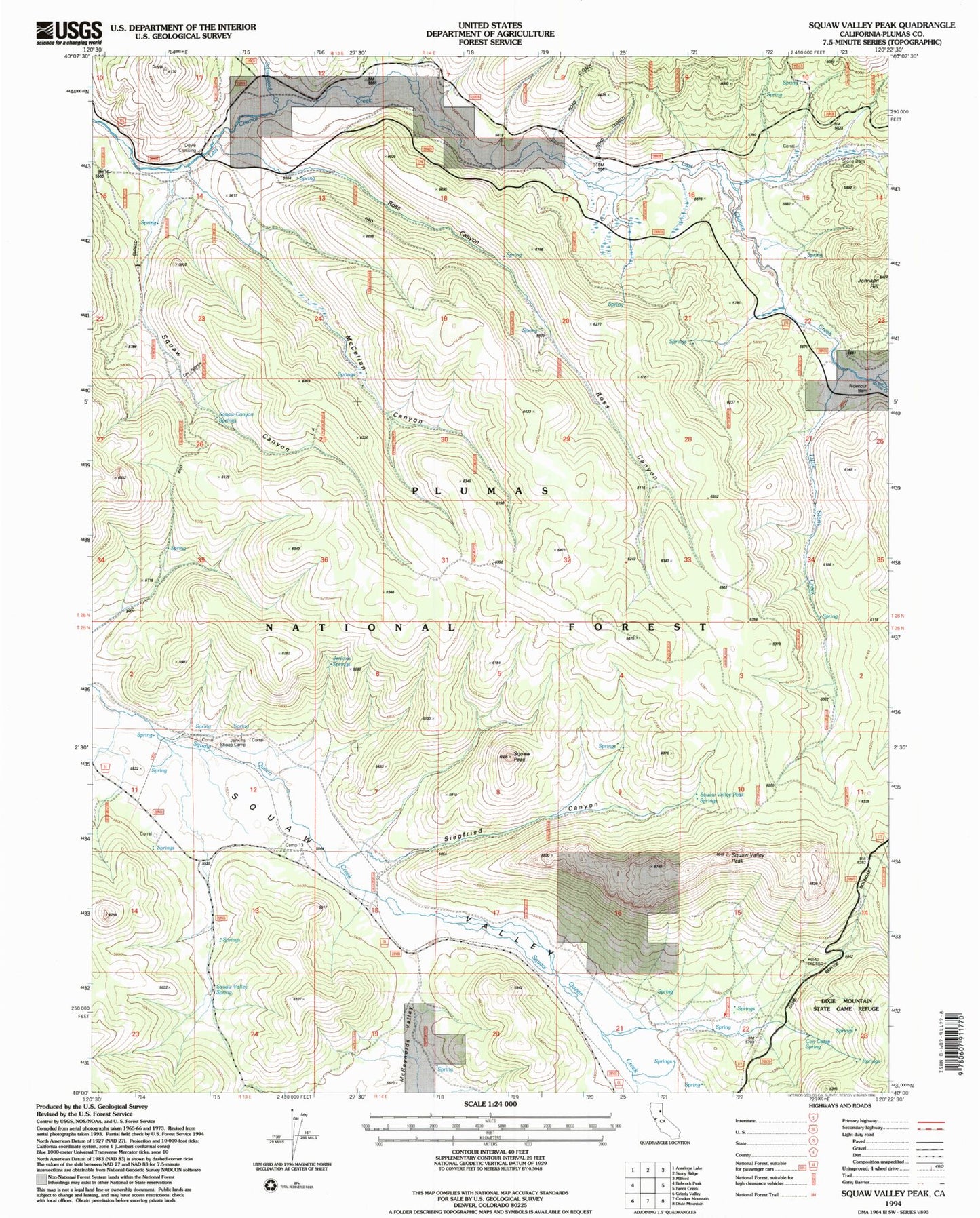
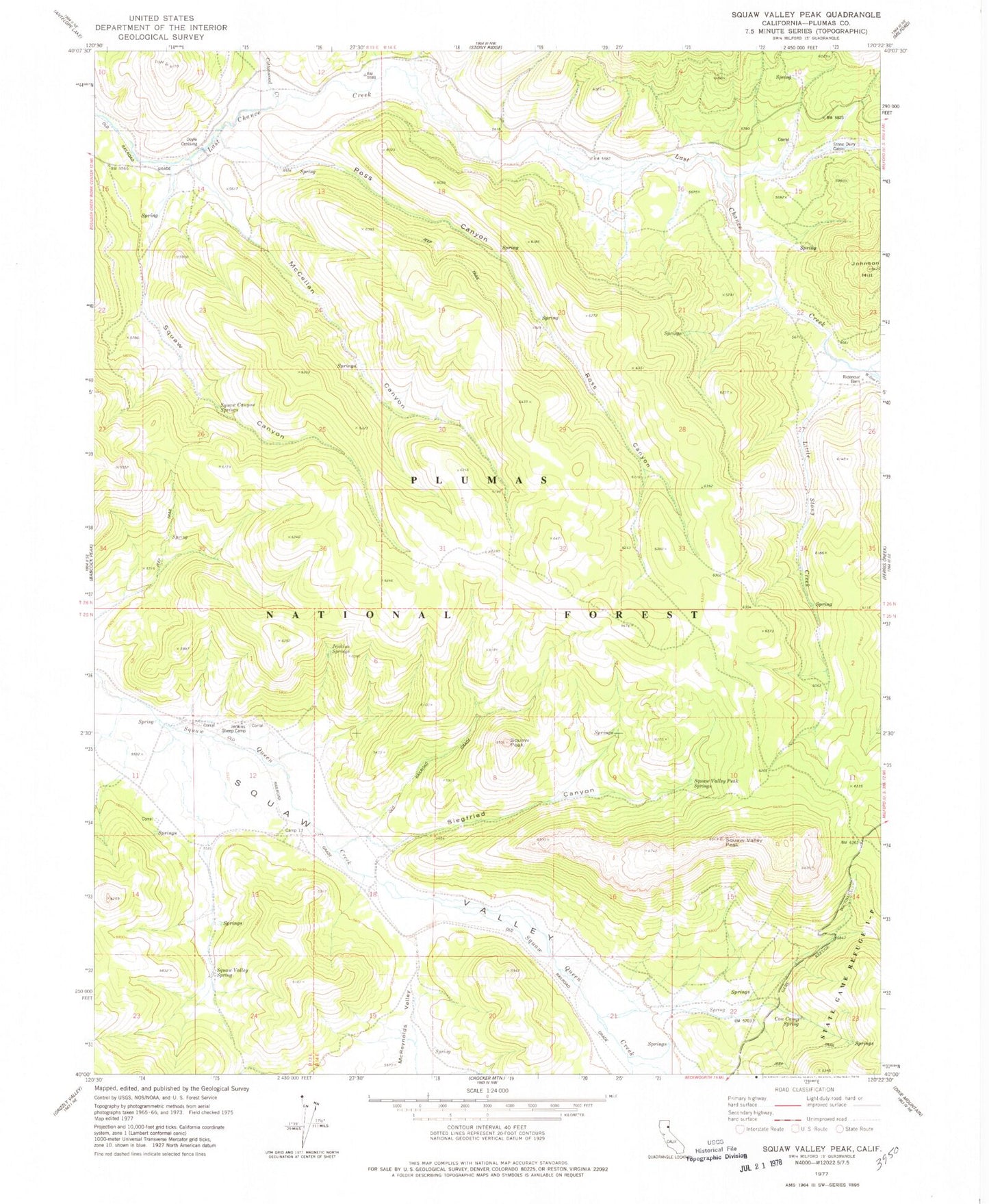
Classic USGS Ross Canyon California 7.5'x7.5' Topo Map
Couldn't load pickup availability
Historical USGS topographic quad map of Ross Canyon in the state of California. Map scale may vary for some years, but is generally around 1:24,000. Print size is approximately 24" x 27"
This quadrangle is in the following counties: Plumas.
The map contains contour lines, roads, rivers, towns, and lakes. Printed on high-quality waterproof paper with UV fade-resistant inks, and shipped rolled.
Contains the following named places: Camp Thirteen, Cottonwood Creek, Cow Camp Spring, Doyle Crossing, Jenkins Sheep Camp, Jenkins Springs, Little Stony Creek, McClellan Canyon, Ridenour Barn, Rogers Creek, Ross Canyon, Siegfried Canyon, Squaw Canyon, Squaw Canyon Springs, Squaw Peak, Squaw Valley Peak, Squaw Valley Peak Springs, Squaw Valley Spring, Stone Dairy Cabin, Willow Creek