MyTopo
Classic USGS Rossville Tennessee 7.5'x7.5' Topo Map
Couldn't load pickup availability
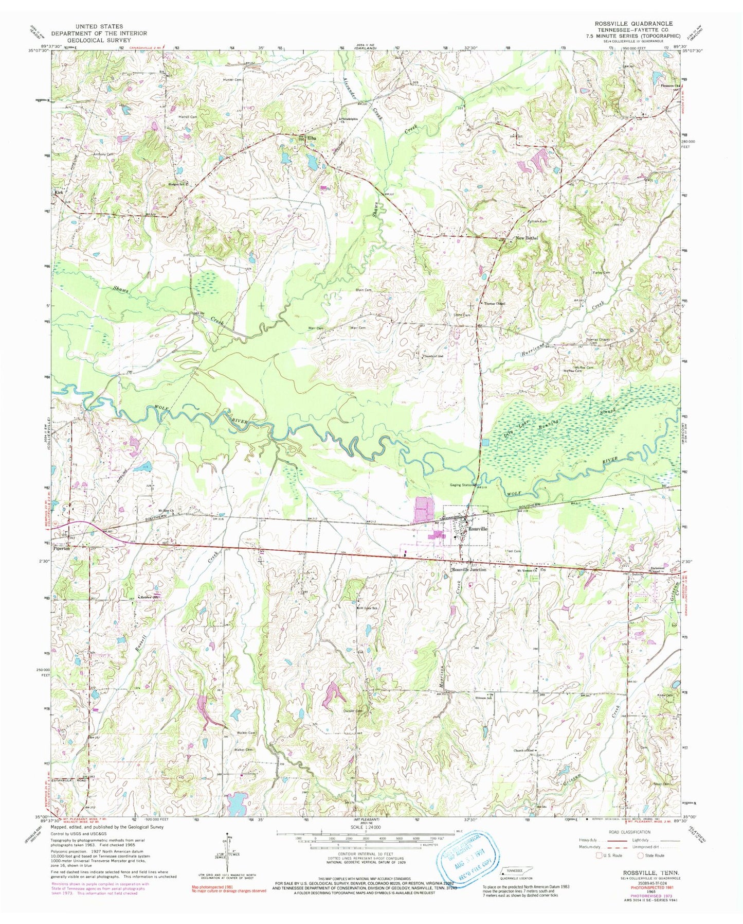
Historical USGS topographic quad map of Rossville in the state of Tennessee. Map scale may vary for some years, but is generally around 1:24,000. Print size is approximately 24" x 27"
This quadrangle is in the following counties: Fayette.
The map contains contour lines, roads, rivers, towns, and lakes. Printed on high-quality waterproof paper with UV fade-resistant inks, and shipped rolled.
Contains the following named places: Alexander Creek, Anthony Cemetery, Blain Cemetery, Church Lake, Church Lake Dam, City of Piperton, Commissioner District 5, Dickerson Chapel, Elba, Elber School, Farley Cemetery, Harrell Cemetery, Hebrew Church, Hebrew School, Hodges School, Hunter Cemetery, Hurricane Creek, Johnson Dam, Johnson Lake, Keith Lake Number Three, Keith Lake Number Three Dam, Keith Lake Number Two, Keith Lake Number Two Dam, Keith Lake One, Keith Lake One Dam, Knox Cemetery, Lily Lake, McRee Cemetery, Morrison Creek, Mount Vernon Cemetery, Mount Vernon Church, Mount Zion Cemetery, Mount Zion Church, Mustin Lake Dam Number One, Mustin Lake Dam Number Two, Mustin Lake Number One, Mustin Lake Number Two, New Bethel, New Bethel Cemetery, New Bethel Church, Oursler Cemetery, Philadelphia Church, Piperton, Piperton City Hall, Piperton Fire Department, Piperton Police Department, Pleasants Cemetery, Pleasants Church, Pullman Cemetery, Rossville, Rossville Baptist Church, Rossville City Hall, Rossville Division, Rossville Fire Department, Rossville Junction, Rossville Post Office, Rossville School, Running Slough, Russell Creek, Saint Luke Church, Saint Luke School, Stinson Church, Stinson School, Stone Cemetery, Stout Cemetery, Teel Cemetery, Thomas Chapel, Thomas Chapel Cemetery, Town of Rossville, Walker Cemetery, Walker North Cemetery, Warr Cemetery, Wolf River Airport, Woodlawn School, ZIP Code: 38066


